 |
|
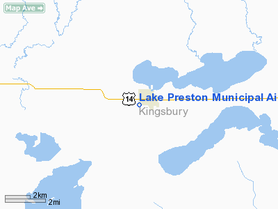
Lake Preston Muni Airport |
Location & QuickFacts
| FAA Information Effective: | 2008-09-25 |
| Airport Identifier: | Y34 |
| Airport Status: | Operational |
| Longitude/Latitude: | 097-23-05.2900W/44-21-26.1900N
-97.384803/44.357275 (Estimated) |
| Elevation: | 1725 ft / 525.78 m (Surveyed) |
| Land: | 67 acres |
| From nearest city: | 0 nautical miles SW of Lake Preston, SD |
| Location: | Kingsbury County, SD |
| Magnetic Variation: | 07E (1985) |
Owner & Manager
| Ownership: | Publicly owned |
| Owner: | City Of Lake Preston |
| Address: | Po Box 397
Lake Preston, SD 57249 |
| Phone number: | 605-847-4140 |
| Manager: | Perry Hilkemeir |
| Address: | 111 3rd St Ne
Lake Preston, SD 57249 |
| Phone number: | PHONE 605-847-4 |
Airport Operations and Facilities
| Airport Use: | Open to public |
| Wind indicator: | Yes |
| Segmented Circle: | No |
| Control Tower: | No |
| Lighting Schedule: | DUSK-DAWN
ACTVT LIRL RY 12/30 - 122.8. |
| Beacon Color: | Clear-Green (lighted land airport) |
| Landing fee charge: | No |
| Sectional chart: | Omaha |
| Region: | AGL - Great Lakes |
| Boundary ARTCC: | ZMP - Minneapolis |
| Tie-in FSS: | HON - Huron |
| FSS on Airport: | No |
| FSS Toll Free: | 1-800-WX-BRIEF |
| NOTAMs Facility: | HON (NOTAM-d service avaliable) |
| Federal Agreements: | 1 |
Airport Communications
Airport Services
| Airframe Repair: | NONE |
| Power Plant Repair: | NONE |
| Bottled Oxygen: | NONE |
| Bulk Oxygen: | NONE |
Runway Information
Runway 12/30
| Dimension: | 2220 x 250 ft / 676.7 x 76.2 m |
| Surface: | TURF, Good Condition |
| Edge Lights: | Low |
| |
Runway 12 |
Runway 30 |
| Longitude: | 097-23-16.2600W | 097-22-54.3200W |
| Latitude: | 44-21-33.8900N | 44-21-18.4900N |
| Elevation: | 1725.00 ft | 0.00 ft |
| Traffic Pattern: | Left | Left |
| Runway End Identifier: | No | No |
| Centerline Lights: | No | No |
| Touchdown Lights: | No | No |
| Obstruction: | 30 ft trees, 1000.0 ft from runway, 100 ft left of centerline, 33:1 slope to clear | 13 ft road, 300.0 ft from runway, 23:1 slope to clear |
|
Radio Navigation Aids
| ID |
Type |
Name |
Ch |
Freq |
Var |
Dist |
| MDS | NDB | Wentworth | | 400.00 | 05E | 24.3 nm |
| BKX | VOR/DME | Brookings | 025X | 108.80 | 06E | 24.7 nm |
| MHE | VOR/DME | Mitchell | 029X | 109.20 | 07E | 44.8 nm |
| ATY | VORTAC | Watertown | 113X | 116.60 | 09E | 38.8 nm |
| HON | VORTAC | Huron | 123X | 117.60 | 10E | 40.1 nm |
| FSD | VORTAC | Sioux Falls | 097X | 115.00 | 09E | 49.9 nm |
Remarks
- RY 12 +4' FENCE 300' FM THR & 100' L FM CNTRLN AND 190' FM THR & 190' R FM THR.
- ARPT CLSD 1 NOV - 1 APR. CTC AMGR 605-847-4402 FOR PPR.
- BIRDS ON AND INVOF ARPT.
Images and information placed above are from
http://www.airport-data.com/airport/Y34/
We thank them for the data!
| General Info
|
| Country |
United States
|
| State |
SOUTH DAKOTA
|
| FAA ID |
Y34
|
| Latitude |
44-21-59.888N
|
| Longitude |
097-23-01.259W
|
| Elevation |
1725 feet
|
| Near City |
LAKE PRESTON
|
We don't guarantee the information is fresh and accurate. The data may
be wrong or outdated.
For more up-to-date information please refer to other sources.
|
|


