 |
|
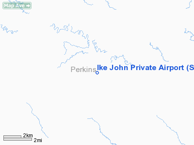
Location & QuickFacts
| FAA Information Effective: | 2008-09-25 |
| Airport Identifier: | SD60 |
| Airport Status: | Operational |
| Longitude/Latitude: | 102-47-46.5850W/45-23-59.9600N
-102.796274/45.399989 (Estimated) |
| Elevation: | 2756 ft / 840.03 m (Surveyed) |
| Land: | 0 acres |
| From nearest city: | 6 nautical miles S of Strool/prairie City, SD |
| Location: | Perkins County, SD |
| Magnetic Variation: | 11E (1985) |
Owner & Manager
| Ownership: | Privately owned |
| Owner: | Claire John |
| Address: | Box 102
Prairie City, SD 57649 |
| Phone number: | 605-866-4441 |
| Address: |
|
Airport Operations and Facilities
| Airport Use: | Private |
| Wind indicator: | No |
| Segmented Circle: | No |
| Control Tower: | No |
| Landing fee charge: | No |
| Sectional chart: | Billings |
| Region: | AGL - Great Lakes |
| Boundary ARTCC: | ZMP - Minneapolis |
| Tie-in FSS: | HON - Huron |
| FSS on Airport: | No |
| FSS Toll Free: | 1-800-WX-BRIEF |
Airport Services
| Airframe Repair: | NONE |
| Power Plant Repair: | NONE |
Runway Information
Runway NW/SE
| Dimension: | 2650 x 100 ft / 807.7 x 30.5 m |
| Surface: | TURF, |
| |
Runway NW |
Runway SE |
| Traffic Pattern: | Left | Left |
|
Radio Navigation Aids
| ID |
Type |
Name |
Ch |
Freq |
Var |
Dist |
| HEI | NDB | Hettinger | | 392.00 | 12E | 37.6 nm |
| LEM | VOR | Lemmon | | 111.40 | 13E | 42.7 nm |
| BUA | VOR/DME | Buffalo | 031X | 109.40 | 13E | 29.3 nm |
| DPR | VORTAC | Dupree | 115X | 116.80 | 10E | 49.7 nm |
Remarks
- LAND AT OWN RISK
- ESTABLHD PRIOR TO 1959.
Images and information placed above are from
http://www.airport-data.com/airport/SD60/
We thank them for the data!
| General Info
|
| Country |
United States
|
| State |
SOUTH DAKOTA
|
| FAA ID |
SD60
|
| Latitude |
45-23-59.960N
|
| Longitude |
102-47-46.585W
|
| Elevation |
2756 feet
|
| Near City |
STROOL/PRAIRIE CITY
|
We don't guarantee the information is fresh and accurate. The data may
be wrong or outdated.
For more up-to-date information please refer to other sources.
|
|


