 |
|
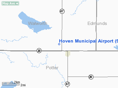
Location & QuickFacts
| FAA Information Effective: | 2008-09-25 |
| Airport Identifier: | 9F8 |
| Airport Status: | Operational |
| Longitude/Latitude: | 099-47-52.2220W/45-15-27.2110N
-99.797839/45.257559 (Estimated) |
| Elevation: | 1884 ft / 574.24 m (Surveyed) |
| Land: | 176 acres |
| From nearest city: | 2 nautical miles NW of Hoven, SD |
| Location: | Walworth County, SD |
| Magnetic Variation: | 09E (1985) |
Owner & Manager
| Ownership: | Publicly owned |
| Owner: | City Of Hoven |
| Address: | P O Box 157
Hoven, SD 57450 |
| Phone number: | 605-948-2257 |
| Manager: | Eric Stuwe |
| Address: | Po Box 51
Hoven, SD 57450 |
| Phone number: | 605-948-2257 |
Airport Operations and Facilities
| Airport Use: | Open to public |
| Wind indicator: | Yes |
| Segmented Circle: | Yes |
| Control Tower: | No |
| Lighting Schedule: | DUSK-DAWN
ACTVT MIRL RY 13/31, PAPI RY 31 -CTAF. |
| Beacon Color: | Clear-Green (lighted land airport) |
| Landing fee charge: | No |
| Sectional chart: | Twin Cities |
| Region: | AGL - Great Lakes |
| Boundary ARTCC: | ZMP - Minneapolis |
| Tie-in FSS: | HON - Huron |
| FSS on Airport: | No |
| FSS Toll Free: | 1-800-WX-BRIEF |
| NOTAMs Facility: | HON (NOTAM-d service avaliable) |
| Federal Agreements: | NGY |
Airport Communications
Airport Services
| Fuel available: | 100LL |
| Airframe Repair: | NONE |
| Power Plant Repair: | NONE |
| Bottled Oxygen: | NONE |
| Bulk Oxygen: | NONE |
Runway Information
Runway 13/31
| Dimension: | 3700 x 60 ft / 1127.8 x 18.3 m |
| Surface: | ASPH, Fair Condition |
| Weight Limit: | Single wheel: 12500 lbs. |
| Edge Lights: | Medium |
| |
Runway 13 |
Runway 31 |
| Longitude: | 099-48-08.3520W | 099-47-36.1000W |
| Latitude: | 45-15-41.4870N | 45-15-12.9260N |
| Elevation: | 1884.00 ft | 1877.00 ft |
| Alignment: | 127 | 127 |
| Traffic Pattern: | Left | Left |
| Markings: | Basic, Fair Condition | Basic, Fair Condition |
| Crossing Height: | 0.00 ft | 28.00 ft |
| VASI: | | 2-light PAPI on left side
PAPI OTS INDEFLY. |
| Visual Glide Angle: | 0.00° | 3.00° |
| Runway End Identifier: | No | No |
| Centerline Lights: | No | No |
| Touchdown Lights: | No | No |
| Obstruction: | , 50:1 slope to clear | 18 ft hwy, 600.0 ft from runway, 22:1 slope to clear |
|
Radio Navigation Aids
| ID |
Type |
Name |
Ch |
Freq |
Var |
Dist |
| RVB | NDB | Riverbend | | 407.00 | 09E | 31.3 nm |
Remarks
- CHURCH STEEPLE 2029 FT MSL 6800 FT FM RY 31 THLD.
- BIRDS AND DEER ON & INVOF ARPT.
Images and information placed above are from
http://www.airport-data.com/airport/9F8/
We thank them for the data!
| General Info
|
| Country |
United States
|
| State |
SOUTH DAKOTA
|
| FAA ID |
9F8
|
| Latitude |
45-15-27.211N
|
| Longitude |
099-47-52.222W
|
| Elevation |
1884 feet
|
| Near City |
HOVEN
|
We don't guarantee the information is fresh and accurate. The data may
be wrong or outdated.
For more up-to-date information please refer to other sources.
|
|


