 |
|
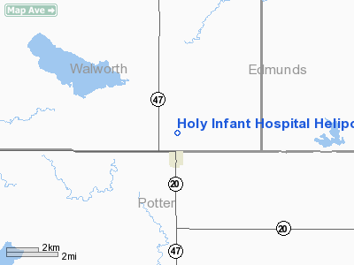
Holy Infant Hospital Heliport |
Location & QuickFacts
| FAA Information Effective: | 2008-09-25 |
| Airport Identifier: | SD22 |
| Airport Status: | Operational |
| Longitude/Latitude: | 099-46-34.4200W/45-15-22.9400N
-99.776228/45.256372 (Estimated) |
| Elevation: | 1908 ft / 581.56 m (Estimated) |
| Land: | 0 acres |
| From nearest city: | 0 nautical miles N of Hoven, SD |
| Location: | Potter County, SD |
| Magnetic Variation: | 08E (2000) |
Owner & Manager
| Ownership: | Privately owned |
| Owner: | Holy Infant Hospital |
| Address: | P.o. Box 158
Hoven, SD 57450 |
| Phone number: | 605-948-2262 |
| Manager: | Royce Hacki
OTHER CONTACT; E.S. WILLIAMS PO BOX 158 HOVEN SD 57450 |
| Address: | P.o. Box 158
Hoven, SD 57450 |
| Phone number: | 605-948-2262 |
Airport Operations and Facilities
| Airport Use: | Private |
| Wind indicator: | Yes |
| Segmented Circle: | No |
| Control Tower: | No |
| Sectional chart: | Twin Cities |
| Region: | AGL - Great Lakes |
| Boundary ARTCC: | ZMP - Minneapolis |
| Tie-in FSS: | HON - Huron |
| FSS Toll Free: | 1-800-WX-BRIEF |
Runway Information
Helipad H1
| Dimension: | 30 x 30 ft / 9.1 x 9.1 m |
| Surface: | CONC, |
| |
Runway H1 |
Runway |
| Traffic Pattern: | Left | Left |
|
Radio Navigation Aids
| ID |
Type |
Name |
Ch |
Freq |
Var |
Dist |
| RVB | NDB | Riverbend | | 407.00 | 09E | 32.0 nm |
Remarks
- PRVDD OPERATIONS ARE CONDUCTED IN AN AREA FROM 175 TO 185 DEGREES AND FROM 355 TO 005 DEGREES, AREA IS MARKED, NON-OBSTRUCTING WIND INDICATOR IS MAINTAINED, FAR PART 91.126(B)(2).
Images and information placed above are from
http://www.airport-data.com/airport/SD22/
We thank them for the data!
| General Info
|
| Country |
United States
|
| State |
SOUTH DAKOTA
|
| FAA ID |
SD22
|
| Latitude |
45-15-22.940N
|
| Longitude |
099-46-34.420W
|
| Elevation |
1908 feet
|
| Near City |
HOVEN
|
We don't guarantee the information is fresh and accurate. The data may
be wrong or outdated.
For more up-to-date information please refer to other sources.
|
|


