 |
|
Location & QuickFacts
| FAA Information Effective: | 2008-09-25 |
| Airport Identifier: | 2E6 |
| Airport Status: | Operational |
| Longitude/Latitude: | 098-05-42.3600W/45-32-03.8480N
-98.095100/45.534402 (Estimated) |
| Elevation: | 1305 ft / 397.76 m (Estimated) |
| Land: | 160 acres |
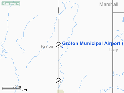
| From nearest city: | 5 nautical miles N of Groton, SD |
| Location: | Brown County, SD |
| Magnetic Variation: | 07E (1985) |
Owner & Manager
| Ownership: | Publicly owned |
| Owner: | City Of Groton |
| Address: | P O Box 587
Groton, SD 57445 |
| Phone number: | 605-397-8422 |
| Manager: | Anita Lowary |
| Address: | Po Box 587
Groton, SD 57445 |
| Phone number: | 605-397-8422 |
Airport Operations and Facilities
| Airport Use: | Open to public |
| Wind indicator: | Yes |
| Segmented Circle: | No |
| Control Tower: | No |
| Landing fee charge: | No |
| Sectional chart: | Twin Cities |
| Region: | AGL - Great Lakes |
| Boundary ARTCC: | ZMP - Minneapolis |
| Tie-in FSS: | HON - Huron |
| FSS on Airport: | No |
| FSS Toll Free: | 1-800-WX-BRIEF |
| NOTAMs Facility: | HON (NOTAM-d service avaliable) |
| Federal Agreements: | P |
Airport Communications
Airport Services
| Airframe Repair: | NONE |
| Power Plant Repair: | NONE |
| Bottled Oxygen: | NONE |
| Bulk Oxygen: | NONE |
Runway Information
Runway 15/33
| Dimension: | 2070 x 140 ft / 630.9 x 42.7 m |
| Surface: | TURF, Good Condition |
| |
Runway 15 |
Runway 33 |
| Traffic Pattern: | Left | Left |
| Runway End Identifier: | No | No |
| Centerline Lights: | No | No |
| Touchdown Lights: | No | No |
| Obstruction: | 82 ft ant, 3141.0 ft from runway, 800 ft right of centerline, 38:1 slope to clear
15/33 HAS +6' CORN SEASONALLY AT BOTH RY ENDS; APCH RATIO 1:1. | 17 ft road, 450.0 ft from runway, 26:1 slope to clear |
|
Radio Navigation Aids
| ID |
Type |
Name |
Ch |
Freq |
Var |
Dist |
| BTN | NDB | Britton | | 386.00 | 06E | 22.5 nm |
| GWR | NDB | Gwinner | | 278.00 | 07E | 45.5 nm |
| ABR | VOR/DME | Aberdeen | 077X | 113.00 | 07E | 13.5 nm |
Remarks
- RY 15/33 CULTIVATED FIELD 10 FT FM RY END.
- EXISTED PRIOR TO 1959.
Images and information placed above are from
http://www.airport-data.com/airport/2E6/
We thank them for the data!
| General Info
|
| Country |
United States
|
| State |
SOUTH DAKOTA
|
| FAA ID |
2E6
|
| Latitude |
45-32-03.848N
|
| Longitude |
098-05-42.360W
|
| Elevation |
1305 feet
|
| Near City |
GROTON
|
We don't guarantee the information is fresh and accurate. The data may
be wrong or outdated.
For more up-to-date information please refer to other sources.
|
|


