 |
|
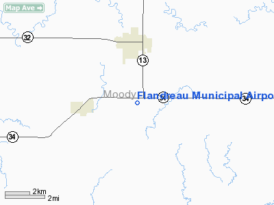
Location & QuickFacts
| FAA Information Effective: | 2008-09-25 |
| Airport Identifier: | 4P3 |
| Airport Status: | Operational |
| Longitude/Latitude: | 096-35-35.1650W/44-00-13.8980N
-96.593101/44.003861 (Estimated) |
| Elevation: | 1645 ft / 501.40 m (Estimated) |
| Land: | 160 acres |
| From nearest city: | 3 nautical miles S of Flandreau, SD |
| Location: | Moody County, SD |
| Magnetic Variation: | 06E (1985) |
Owner & Manager
| Ownership: | Publicly owned |
| Owner: | City Of Flandreau |
| Address: | Po Box 343
Flandreau, SD 57028 |
| Phone number: | 605-997-2492 |
| Manager: | Don Johnson |
| Address: | City Of Flandreau, Po Box 343
Flandreau, SD 57028 |
| Phone number: | 605-997-2492 |
Airport Operations and Facilities
| Airport Use: | Open to public |
| Wind indicator: | Yes |
| Segmented Circle: | Yes |
| Control Tower: | No |
| Lighting Schedule: | DUSK-DAWN
ACTVT LIRL RY 10/28; PAPI RYS 10 & 28 - CTAF. |
| Beacon Color: | Clear-Green (lighted land airport) |
| Landing fee charge: | No |
| Sectional chart: | Omaha |
| Region: | AGL - Great Lakes |
| Boundary ARTCC: | ZMP - Minneapolis |
| Tie-in FSS: | HON - Huron |
| FSS on Airport: | No |
| FSS Toll Free: | 1-800-WX-BRIEF |
| NOTAMs Facility: | HON (NOTAM-d service avaliable) |
| Federal Agreements: | NGY |
Airport Communications
Airport Services
| Airframe Repair: | NONE |
| Power Plant Repair: | NONE |
| Bottled Oxygen: | NONE |
| Bulk Oxygen: | NONE |
Runway Information
Runway 10/28
| Dimension: | 3100 x 60 ft / 944.9 x 18.3 m |
| Surface: | ASPH, Good Condition |
| Weight Limit: | Single wheel: 12500 lbs. |
| Edge Lights: | Low |
| |
Runway 10 |
Runway 28 |
| Longitude: | 096-36-09.0300W | 096-35-21.1600W |
| Latitude: | 44-00-22.7800N | 44-00-10.9000N |
| Elevation: | 1626.00 ft | 1645.00 ft |
| Traffic Pattern: | Left | Left |
| Markings: | Basic, Fair Condition
MARKINGS BADLY FADED. | Basic, Fair Condition
MARKINGS BADLY FADED. |
| Crossing Height: | 25.00 ft | 25.00 ft |
| VASI: | 2-light PAPI on left side | 2-light PAPI on left side |
| Visual Glide Angle: | 3.00° | 3.00° |
| Obstruction: | 65 ft trees, 1340.0 ft from runway, 125 ft left of centerline, 17:1 slope to clear | 20 ft road, 630.0 ft from runway, 21:1 slope to clear |
|
Radio Navigation Aids
| ID |
Type |
Name |
Ch |
Freq |
Var |
Dist |
| MDS | NDB | Wentworth | | 400.00 | 05E | 21.4 nm |
| FS | NDB | Rokky | | 245.00 | 06E | 32.3 nm |
| PQN | NDB/DME | Pipestone | 028X | 284.00 | 06E | 12.9 nm |
| BKX | VOR/DME | Brookings | 025X | 108.80 | 06E | 20.4 nm |
| MML | VOR/DME | Marshall | 047X | 111.00 | 05E | 42.5 nm |
| OTG | VOR/DME | Worthington | 043X | 110.60 | 08E | 48.8 nm |
| FSD | VORTAC | Sioux Falls | 097X | 115.00 | 09E | 22.8 nm |
Remarks
- WILDLIFE ON AND INVOF ARPT.
- PRVDD 8/26 IS ABNDD PRIOR TO 10/28 ACTVTN. THRS LCTD TO PRVD MIN 20:1 CLRNC OVER OBSTNS. ALL OBSTN-FREE PRIM SFCS 125'EA SIDE OF RWY PRVDD.
Images and information placed above are from
http://www.airport-data.com/airport/4P3/
We thank them for the data!
| General Info
|
| Country |
United States
|
| State |
SOUTH DAKOTA
|
| FAA ID |
4P3
|
| Latitude |
44-00-13.898N
|
| Longitude |
096-35-35.165W
|
| Elevation |
1645 feet
|
| Near City |
FLANDREAU
|
We don't guarantee the information is fresh and accurate. The data may
be wrong or outdated.
For more up-to-date information please refer to other sources.
|
|


