 |
|
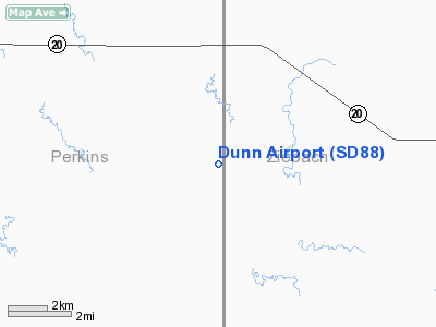
Location & QuickFacts
| FAA Information Effective: | 2008-09-25 |
| Airport Identifier: | SD88 |
| Airport Status: | Operational |
| Longitude/Latitude: | 102-00-09.5410W/45-23-20.9240N
-102.002650/45.389146 (Estimated) |
| Elevation: | 2467 ft / 751.94 m (Surveyed) |
| Land: | 0 acres |
| From nearest city: | 21 nautical miles SE of Bison, SD |
| Location: | Perkins County, SD |
| Magnetic Variation: | 10E (1985) |
Owner & Manager
| Ownership: | Privately owned |
| Owner: | Donald D. Dunn |
| Address: | Star Rte, Box 540
Meadow, SD 57644 |
| Phone number: | 605-788-2849 |
| Manager: | Donald D. Dunn |
| Address: | Star Rte, Box 540
Meadow, SD 57644 |
| Phone number: | 605-788-2849 |
Airport Operations and Facilities
| Airport Use: | Private |
| Wind indicator: | Yes |
| Segmented Circle: | No |
| Control Tower: | No |
| Landing fee charge: | No |
| Sectional chart: | Billings |
| Region: | AGL - Great Lakes |
| Boundary ARTCC: | ZMP - Minneapolis |
| Tie-in FSS: | HON - Huron |
| FSS on Airport: | No |
| FSS Toll Free: | 1-800-WX-BRIEF |
Runway Information
Runway 14/32
| Dimension: | 1400 x 50 ft / 426.7 x 15.2 m |
| Surface: | TURF, |
| |
Runway 14 |
Runway 32 |
| Traffic Pattern: | Left | Left |
|
Radio Navigation Aids
| ID |
Type |
Name |
Ch |
Freq |
Var |
Dist |
| HEI | NDB | Hettinger | | 392.00 | 12E | 46.5 nm |
| LEM | VOR | Lemmon | | 111.40 | 13E | 32.2 nm |
| DPR | VORTAC | Dupree | 115X | 116.80 | 10E | 22.3 nm |
Remarks
Images and information placed above are from
http://www.airport-data.com/airport/SD88/
We thank them for the data!
| General Info
|
| Country |
United States
|
| State |
SOUTH DAKOTA
|
| FAA ID |
SD88
|
| Latitude |
45-23-20.924N
|
| Longitude |
102-00-09.541W
|
| Elevation |
2467 feet
|
| Near City |
BISON
|
We don't guarantee the information is fresh and accurate. The data may
be wrong or outdated.
For more up-to-date information please refer to other sources.
|
|


