 |
|
Location & QuickFacts
| FAA Information Effective: | 2008-09-25 |
| Airport Identifier: | 1SD0 |
| Airport Status: | Operational |
| Longitude/Latitude: | 101-44-31.5220W/45-19-22.9200N
-101.742089/45.323033 (Estimated) |
| Elevation: | 2350 ft / 716.28 m (Estimated) |
| Land: | 0 acres |
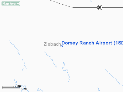
| From nearest city: | 5 nautical miles SE of Glad Valley, SD |
| Location: | Ziebach County, SD |
| Magnetic Variation: | 10E (1985) |
Owner & Manager
| Ownership: | Privately owned |
| Owner: | Keith W. Dorsey |
| Address: | Box 54
Isabel, SD 57633 |
| Phone number: | 605-466-2427 |
| Address: |
|
Airport Operations and Facilities
| Airport Use: | Private |
| Wind indicator: | Yes |
| Segmented Circle: | No |
| Control Tower: | No |
| Landing fee charge: | No |
| Sectional chart: | Billings |
| Region: | AGL - Great Lakes |
| Boundary ARTCC: | ZMP - Minneapolis |
| Tie-in FSS: | HON - Huron |
| FSS on Airport: | No |
| FSS Toll Free: | 1-800-WX-BRIEF |
Runway Information
Runway 16/34
| Dimension: | 2600 x 50 ft / 792.5 x 15.2 m |
| Surface: | TURF, |
| |
Runway 16 |
Runway 34 |
| Traffic Pattern: | Left | Left |
|
Radio Navigation Aids
| ID |
Type |
Name |
Ch |
Freq |
Var |
Dist |
| LEM | VOR | Lemmon | | 111.40 | 13E | 39.0 nm |
| DPR | VORTAC | Dupree | 115X | 116.80 | 10E | 14.8 nm |
Remarks
- RECORD KEEPING PURPOSES ONLY.
Images and information placed above are from
http://www.airport-data.com/airport/1SD0/
We thank them for the data!
| General Info
|
| Country |
United States
|
| State |
SOUTH DAKOTA
|
| FAA ID |
1SD0
|
| Latitude |
45-19-22.920N
|
| Longitude |
101-44-31.522W
|
| Elevation |
2350 feet
|
| Near City |
GLAD VALLEY
|
We don't guarantee the information is fresh and accurate. The data may
be wrong or outdated.
For more up-to-date information please refer to other sources.
|
|


