 |
|
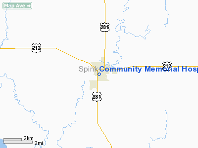
Community Memorial Hospital Heliport |
Location & QuickFacts
| FAA Information Effective: | 2008-09-25 |
| Airport Identifier: | SD45 |
| Airport Status: | Operational |
| Longitude/Latitude: | 098-31-16.3400W/44-52-16.3200N
-98.521206/44.871200 (Estimated) |
| Elevation: | 1300 ft / 396.24 m (Estimated) |
| Land: | 0 acres |
| From nearest city: | 0 nautical miles N of Redfield, SD |
| Location: | Spink County, SD |
| Magnetic Variation: | 08E (1985) |
Owner & Manager
| Ownership: | Publicly owned |
| Owner: | City Of Redfield |
| Address: | 110 W 10th Ave
Redfield, SD 57469 |
| Phone number: | 605-472-1110 |
| Manager: | Mike Sanger |
| Address: | 110 W 10th Ave
Redfield, SD 57469 |
| Phone number: | 605-472-1110 |
Airport Operations and Facilities
| Airport Use: | Private
MEDICAL USE. |
| Wind indicator: | Yes |
| Segmented Circle: | No |
| Control Tower: | No |
| Lighting Schedule: | PHONE REQ |
| Beacon Color: | Clear-Green-Yellow (heliport) |
| Sectional chart: | Twin Cities |
| Region: | AGL - Great Lakes |
| Boundary ARTCC: | ZMP - Minneapolis |
| Tie-in FSS: | HON - Huron |
| FSS Toll Free: | 1-800-WX-BRIEF |
Runway Information
Helipad H1
| Dimension: | 25 x 25 ft / 7.6 x 7.6 m |
| Surface: | CONC, |
| |
Runway H1 |
Runway |
| Traffic Pattern: | Left | Left |
|
Radio Navigation Aids
| ID |
Type |
Name |
Ch |
Freq |
Var |
Dist |
| ABR | VOR/DME | Aberdeen | 077X | 113.00 | 07E | 33.5 nm |
| HON | VORTAC | Huron | 123X | 117.60 | 10E | 27.4 nm |
Remarks
- PROVIDED APP/DEP FM 090 TO 360; AREA IS MARKED; WIND INDICATOR IS MAINTAINED.
Images and information placed above are from
http://www.airport-data.com/airport/SD45/
We thank them for the data!
| General Info
|
| Country |
United States
|
| State |
SOUTH DAKOTA
|
| FAA ID |
SD45
|
| Latitude |
44-52-16.320N
|
| Longitude |
098-31-16.340W
|
| Elevation |
1300 feet
|
| Near City |
REDFIELD
|
We don't guarantee the information is fresh and accurate. The data may
be wrong or outdated.
For more up-to-date information please refer to other sources.
|
|


