 |
|
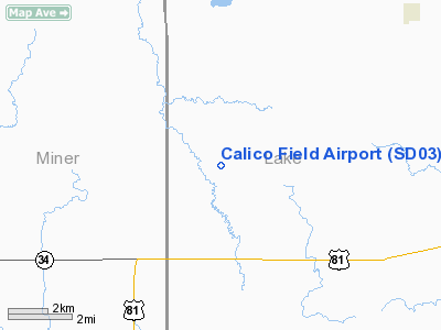
Location & QuickFacts
| FAA Information Effective: | 2008-09-25 |
| Airport Identifier: | SD03 |
| Airport Status: | Operational |
| Longitude/Latitude: | 097-20-06.2360W/44-03-01.9060N
-97.335066/44.050529 (Estimated) |
| Elevation: | 1750 ft / 533.40 m (Estimated) |
| Land: | 30 acres |
| From nearest city: | 4 nautical miles NE of Winfred, SD |
| Location: | Lake County, SD |
| Magnetic Variation: | 07E (1985) |
Owner & Manager
| Ownership: | Privately owned |
| Owner: | Frank Alvine |
| Address: | 6311 S. Calico Pl
Sioux Falls, SD 57108 |
| Phone number: | 605-485-2650 |
| Manager: | Frank Alvine |
| Address: | 6311 S. Calico Pl
Sioux Falls, SD 57108 |
| Phone number: | 605-485-2650 |
Airport Operations and Facilities
| Airport Use: | Private |
| Wind indicator: | Yes |
| Segmented Circle: | No |
| Control Tower: | No |
| Sectional chart: | Twin Cities |
| Region: | AGL - Great Lakes |
| Boundary ARTCC: | ZMP - Minneapolis |
| Tie-in FSS: | HON - Huron |
| FSS Toll Free: | 1-800-WX-BRIEF |
Runway Information
Runway 09/27
| Dimension: | 1400 x 100 ft / 426.7 x 30.5 m |
| Surface: | TURF, |
| |
Runway 09 |
Runway 27 |
| Traffic Pattern: | Left | Left |
|
Runway 18/36
| Dimension: | 1050 x 100 ft / 320.0 x 30.5 m |
| Surface: | TURF, |
| |
Runway 18 |
Runway 36 |
| Traffic Pattern: | Left | Left |
|
Radio Navigation Aids
| ID |
Type |
Name |
Ch |
Freq |
Var |
Dist |
| MDS | NDB | Wentworth | | 400.00 | 05E | 10.9 nm |
| FS | NDB | Rokky | | 245.00 | 06E | 40.0 nm |
| PQN | NDB/DME | Pipestone | 028X | 284.00 | 06E | 45.1 nm |
| BKX | VOR/DME | Brookings | 025X | 108.80 | 06E | 27.1 nm |
| MHE | VOR/DME | Mitchell | 029X | 109.20 | 07E | 34.6 nm |
| FSD | VORTAC | Sioux Falls | 097X | 115.00 | 09E | 34.0 nm |
| HON | VORTAC | Huron | 123X | 117.60 | 10E | 48.1 nm |
Images and information placed above are from
http://www.airport-data.com/airport/SD03/
We thank them for the data!
| General Info
|
| Country |
United States
|
| State |
SOUTH DAKOTA
|
| FAA ID |
SD03
|
| Latitude |
44-03-01.906N
|
| Longitude |
097-20-06.236W
|
| Elevation |
1750 feet
|
| Near City |
WINFRED
|
We don't guarantee the information is fresh and accurate. The data may
be wrong or outdated.
For more up-to-date information please refer to other sources.
|
|


