 |
|
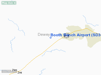
Location & QuickFacts
| FAA Information Effective: | 2008-09-25 |
| Airport Identifier: | SD36 |
| Airport Status: | Operational |
| Longitude/Latitude: | 100-45-21.5130W/45-07-44.9390N
-100.755976/45.129150 (Estimated) |
| Elevation: | 2250 ft / 685.80 m (Estimated) |
| Land: | 0 acres |
| From nearest city: | 3 nautical miles NE of Ridgeview, SD |
| Location: | Dewey County, SD |
| Magnetic Variation: | 10E (1985) |
Owner & Manager
| Ownership: | Privately owned |
| Owner: | Bob Booth |
| Address: | Box 316
Ridgeview, SD 57652 |
| Phone number: | 605-733-2329 |
| Manager: | Bob Booth |
| Address: | Box 316
Ridgeview, SD 57652 |
| Phone number: | 605-733-2329 |
Airport Operations and Facilities
| Airport Use: | Private |
| Wind indicator: | Yes |
| Segmented Circle: | No |
| Control Tower: | No |
| Sectional chart: | Twin Cities |
| Region: | AGL - Great Lakes |
| Boundary ARTCC: | ZMP - Minneapolis |
| Tie-in FSS: | HON - Huron |
| FSS on Airport: | No |
| FSS Toll Free: | 1-800-WX-BRIEF |
Runway Information
Runway 09/27
| Dimension: | 1340 x 50 ft / 408.4 x 15.2 m |
| Surface: | TURF, |
| |
Runway 09 |
Runway 27 |
| Traffic Pattern: | Left | Left |
|
Runway 13/31
| Dimension: | 2000 x 50 ft / 609.6 x 15.2 m |
| Surface: | TURF, |
| |
Runway 13 |
Runway 31 |
| Traffic Pattern: | Left | Left |
|
Radio Navigation Aids
| ID |
Type |
Name |
Ch |
Freq |
Var |
Dist |
| RVB | NDB | Riverbend | | 407.00 | 09E | 29.2 nm |
| DPR | VORTAC | Dupree | 115X | 116.80 | 10E | 40.8 nm |
Images and information placed above are from
http://www.airport-data.com/airport/SD36/
We thank them for the data!
| General Info
|
| Country |
United States
|
| State |
SOUTH DAKOTA
|
| FAA ID |
SD36
|
| Latitude |
45-07-44.939N
|
| Longitude |
100-45-21.513W
|
| Elevation |
2250 feet
|
| Near City |
RIDGEVIEW
|
We don't guarantee the information is fresh and accurate. The data may
be wrong or outdated.
For more up-to-date information please refer to other sources.
|
|


