|
|
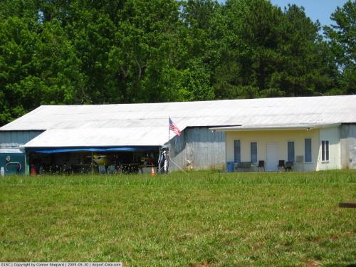 |
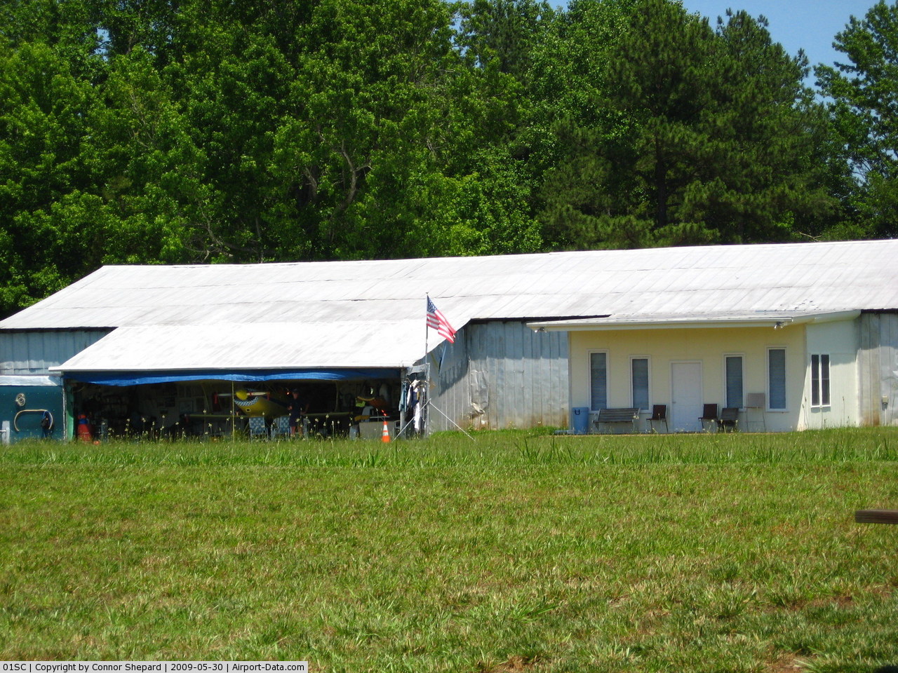
(Click on the photo to enlarge) |
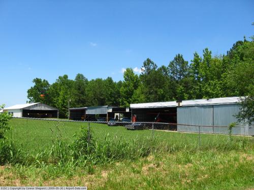 |
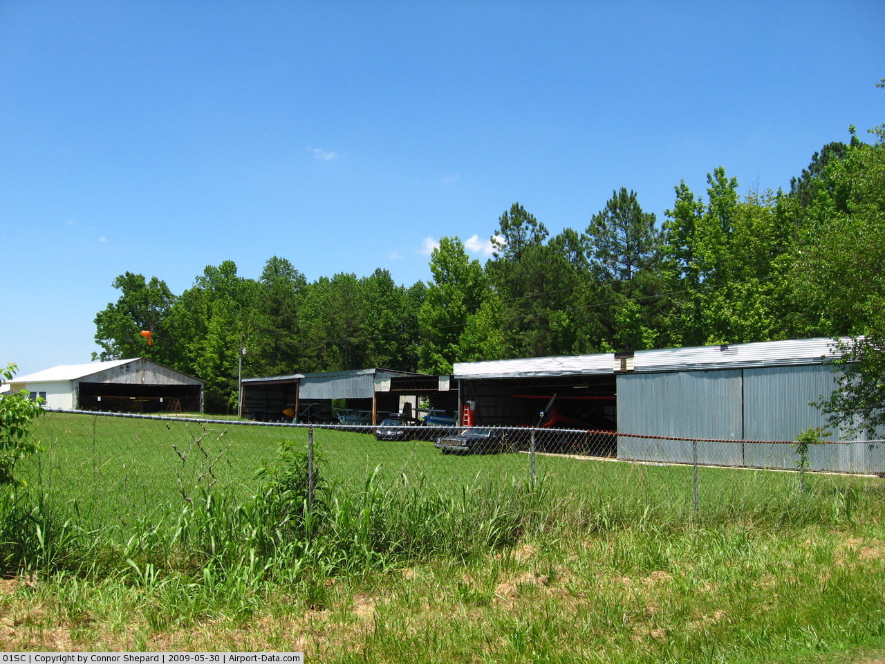
(Click on the photo to enlarge) |
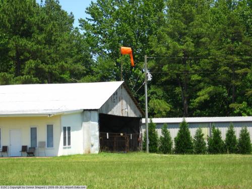 |
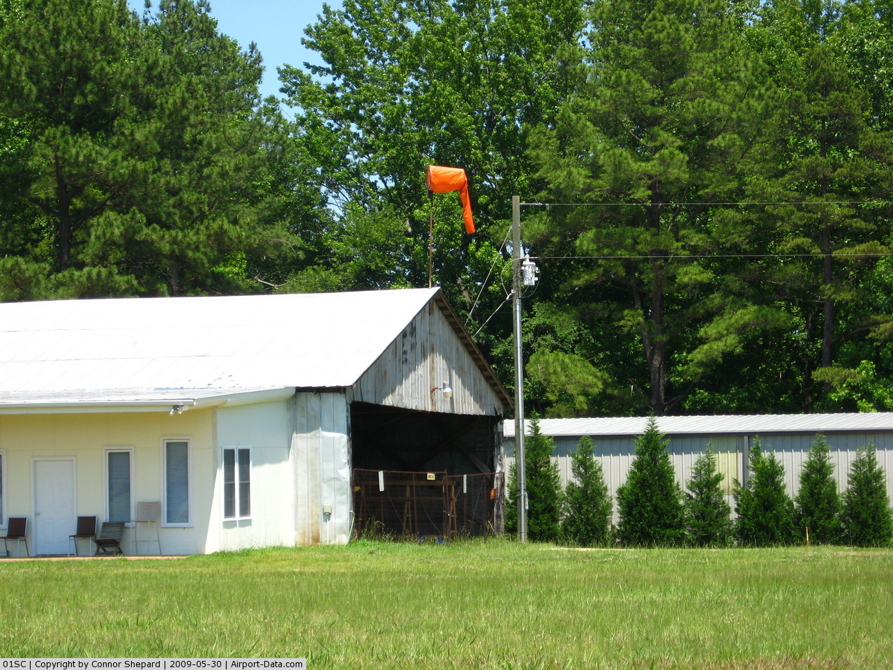
(Click on the photo to enlarge) |
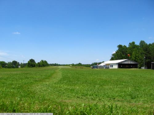 |
(Click on the photo to enlarge) |
Location & QuickFacts
| FAA Information Effective: | 2008-09-25 |
| Airport Identifier: | 01SC |
| Airport Status: | Operational |
| Longitude/Latitude: | 081-15-10.0000W/35-01-55.4860N
-81.252778/35.032079 (Estimated) |
| Elevation: | 779 ft / 237.44 m (Surveyed) |
| Land: | 10 acres |
| From nearest city: | 3 nautical miles N of York, SC |
| Location: | York County, SC |
| Magnetic Variation: | 05W (1985) |
Owner & Manager
| Ownership: | Privately owned |
| Owner: | York Aviation Services |
| Address: | 2551 Goins Lane
York, SC 29745 |
| Phone number: | 803-684-4506 |
| Manager: | Ed Currence |
| Address: | 2551 Goins Lane
York, SC 29745 |
| Phone number: | 803-684-4506 |
Airport Operations and Facilities
| Airport Use: | Private |
| Wind indicator: | Yes |
| Segmented Circle: | No |
| Control Tower: | No |
| Lighting Schedule: | PHONE REQ
FOR LIRL RY 18/36 CALL 803-628-1065 OR 803-684-4506 |
| Landing fee charge: | No |
| Sectional chart: | Atlanta |
| Region: | ASO - Southern |
| Boundary ARTCC: | ZTL - Atlanta |
| Tie-in FSS: | AND - Anderson |
| FSS on Airport: | No |
| FSS Toll Free: | 1-800-WX-BRIEF |
Airport Services
| Airframe Repair: | NONE |
| Power Plant Repair: | NONE |
| Bottled Oxygen: | NONE |
| Bulk Oxygen: | NONE |
Runway Information
Runway 18/36
| Dimension: | 2580 x 118 ft / 786.4 x 36.0 m |
| Surface: | TURF, Fair Condition |
| Edge Lights: | Low
FIRST 220 FT RY 18 UNUSBL FOR NIGHT OPNS. |
| |
Runway 18 |
Runway 36 |
| Traffic Pattern: | Left | Left |
| Markings: | None, | None, |
| Runway End Identifier: | No | No |
| Centerline Lights: | No | No |
| Touchdown Lights: | No | No |
| Obstruction: | 40 ft trees, 75.0 ft from runway, 70 ft right of centerline, 1:1 slope to clear | 10 ft road, 0.0 ft from runway |
|
Radio Navigation Aids
| ID |
Type |
Name |
Ch |
Freq |
Var |
Dist |
| MRN | FAN MARKER | Lenoir | | | 03W | 49.4 nm |
| GHJ | NDB | Stonia | | 260.00 | 06W | 10.7 nm |
| UZ | NDB | Rally | | 227.00 | 05W | 12.0 nm |
| DCM | NDB | Chester | | 220.00 | 06W | 15.0 nm |
| SLP | NDB | First River | | 417.00 | 06W | 21.6 nm |
| LKR | NDB | Lancaster | | 400.00 | 07W | 26.9 nm |
| TWL | NDB | Wesley | | 204.00 | 06W | 27.4 nm |
| UOT | NDB | Union County | | 326.00 | 04W | 28.4 nm |
| IZN | NDB | Lincolnton | | 432.00 | 06W | 31.5 nm |
| FRT | NDB | Fairmont | | 248.00 | 05W | 36.9 nm |
| RFE | NDB | Rutherford | | 344.00 | 05W | 39.3 nm |
| FDW | NDB | Winnsboro | | 414.00 | 05W | 43.7 nm |
| HK | NDB | Tawba | | 332.00 | 06W | 45.4 nm |
| VW | NDB | Temky | | 280.00 | 05W | 45.6 nm |
| FIQ | NDB | Fiddlers | | 391.00 | 07W | 45.6 nm |
| LUX | NDB | Laurens | | 307.00 | 04W | 46.6 nm |
| EOE | NDB | Enoree | | 278.00 | 05W | 47.3 nm |
| PYG | NDB | Pageland | | 270.00 | 06W | 48.3 nm |
| CLT | VOR/DME | Charlotte | 097X | 115.00 | 05W | 17.6 nm |
| FML | VORTAC | Fort Mill | 071X | 112.40 | 02W | 14.9 nm |
| SPA | VORTAC | Spartanburg | 104X | 115.70 | 02W | 33.2 nm |
| CLT | VOT | Charlotte | | 112.00 | | 19.0 nm |
| HKY | VOT | Hickory Regional | | 110.00 | | 43.1 nm |
Remarks
- RWY 18/36 HAS A SEVERE LINE OF SIGHT PROBLEM.
- RY 18 HAS A DIRT ROAD AT THR.
- RY 18 HAS 70 FT TREES 600 FT FROM THR 75 FT L.
- RY 36 HAS 35 FT PLINE AT THR 120 FT LEFT AND EXTENDS OUTWARDS.
- RY 36 HAS SMALL SHRUBS 70 FT FROM THR 80 FT R.
Images and information placed above are from
http://www.airport-data.com/airport/01SC/
We thank them for the data!
| General Info
|
| Country |
United States
|
| State |
SOUTH CAROLINA
|
| FAA ID |
01SC
|
| Latitude |
35-01-55.486N
|
| Longitude |
081-15-10.000W
|
| Elevation |
779 feet
|
| Near City |
YORK
|
We don't guarantee the information is fresh and accurate. The data may
be wrong or outdated.
For more up-to-date information please refer to other sources.
|
|