|
|
 |
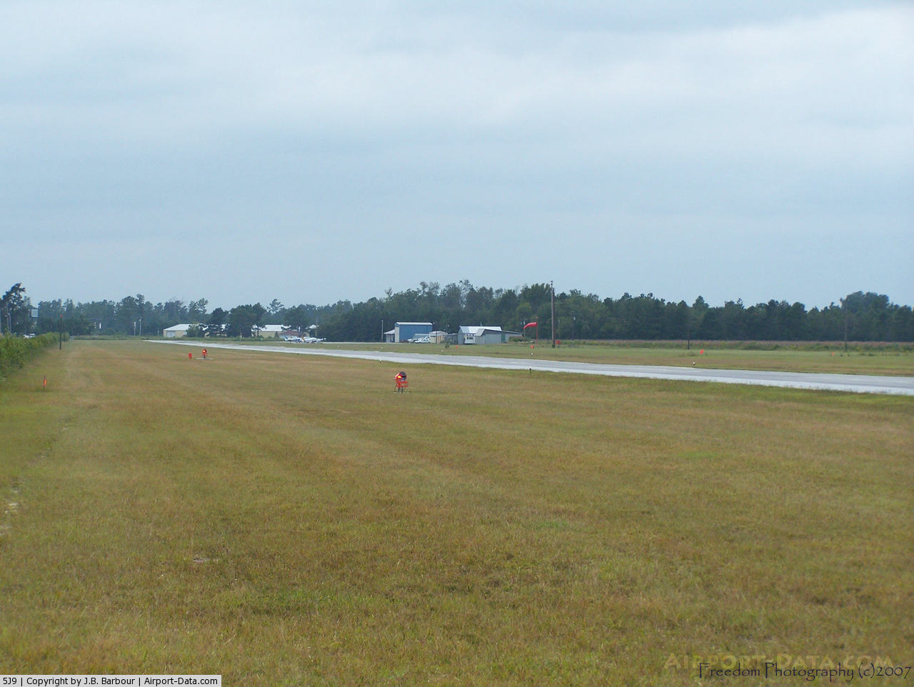
(Click on the photo to enlarge) |
 |
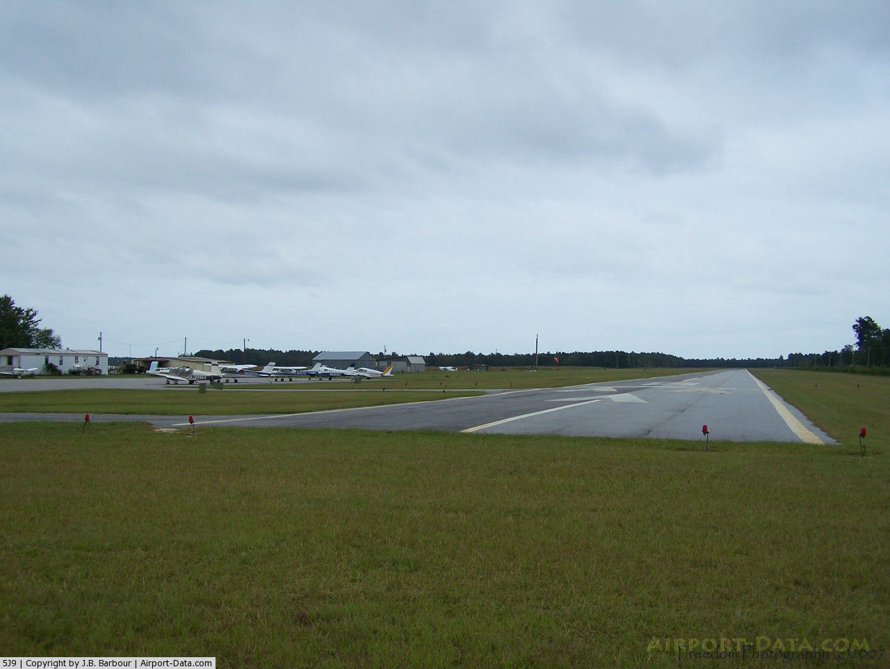
(Click on the photo to enlarge) |
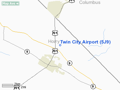
Location & QuickFacts
| FAA Information Effective: | 2008-09-25 |
| Airport Identifier: | 5J9 |
| Airport Status: | Operational |
| Longitude/Latitude: | 078-51-53.7000W/34-05-18.3000N
-78.864917/34.088417 (Estimated) |
| Elevation: | 99 ft / 30.18 m (Surveyed) |
| Land: | 109 acres |
| From nearest city: | 3 nautical miles NE of Loris, SC |
| Location: | Horry County, SC |
| Magnetic Variation: | 08W (2000) |
Owner & Manager
| Ownership: | Publicly owned |
| Owner: | Horry County |
| Address: | Po Box 1236
Conway, SC 29526 |
| Phone number: | 843-248-1201 |
| Manager: | Bob Kemp |
| Address: | 100 Jetport Road
Myrtle Beach, SC 29577 |
| Phone number: | 843-448-1580 |
Airport Operations and Facilities
| Airport Use: | Open to public |
| Wind indicator: | Yes |
| Segmented Circle: | Yes |
| Control Tower: | No |
| Lighting Schedule: | DUSK-DAWN |
| Beacon Color: | Clear-Green (lighted land airport) |
| Landing fee charge: | No |
| Sectional chart: | Charlotte |
| Region: | ASO - Southern |
| Boundary ARTCC: | ZJX - Jacksonville |
| Tie-in FSS: | AND - Anderson |
| FSS on Airport: | No |
| FSS Toll Free: | 1-800-WX-BRIEF |
| NOTAMs Facility: | AND (NOTAM-d service avaliable) |
| Federal Agreements: | N |
Airport Communications
Airport Services
| Airframe Repair: | NONE |
| Power Plant Repair: | NONE |
| Bottled Oxygen: | NONE |
| Bulk Oxygen: | NONE |
Runway Information
Runway 08/26
| Dimension: | 3694 x 60 ft / 1125.9 x 18.3 m |
| Surface: | ASPH, Good Condition |
| Weight Limit: | Single wheel: 8000 lbs. |
| Edge Lights: | Low |
| |
Runway 08 |
Runway 26 |
| Longitude: | 078-52-14.8035W | 078-51-32.6646W |
| Latitude: | 34-05-13.1241N | 34-05-23.4214N |
| Elevation: | 99.00 ft | 99.00 ft |
| Alignment: | 74 | 127 |
| Traffic Pattern: | Left | Left |
| Markings: | Basic, Good Condition | Basic, Good Condition |
| Crossing Height: | 0.00 ft | 34.00 ft |
| Displaced threshold: | 200.00 ft | 0.00 ft |
| VASI: | | 2-box SAVASI on left side |
| Visual Glide Angle: | 0.00° | 3.50° |
| Obstruction: | 38 ft tree, 666.0 ft from runway, 98 ft right of centerline, 12:1 slope to clear
APCH RATIO 17:1 TO DSPLCD THLD.
RY 08 SECONDARY PAVED ROAD 150 FT FROM THLD. | 71 ft tree, 1607.0 ft from runway, 218 ft left of centerline, 19:1 slope to clear |
|
Radio Navigation Aids
| ID |
Type |
Name |
Ch |
Freq |
Var |
Dist |
| CPC | NDB | Camp | | 227.00 | 07W | 13.3 nm |
| HYW | NDB | Horry | | 370.00 | 08W | 20.6 nm |
| MAO | NDB | Marion | | 388.00 | 06W | 24.0 nm |
| JB | NDB | Jigel | | 384.00 | 08W | 30.7 nm |
| TGQ | NDB | Elizabethtown | | 398.00 | 08W | 31.6 nm |
| RSY | NDB | Robeson | | 359.00 | 08W | 33.0 nm |
| DLC | NDB | Dillon | | 274.00 | 05W | 33.2 nm |
| HEK | NDB | Stuckey | | 236.00 | 06W | 39.4 nm |
| SUT | NDB | Yaupon | | 233.00 | 08W | 40.6 nm |
| CLB | NDB | Carolina Beach | | 216.00 | 04W | 45.0 nm |
| CFY | NDB | Evans | | 420.00 | 06W | 47.0 nm |
| ME | NDB | Maxtn | | 257.00 | 08W | 48.3 nm |
| LBT | VOR | Lumberton | | 110.00 | 08W | 32.8 nm |
| CRE | VORTAC | Grand Strand | 123X | 117.60 | 03W | 17.9 nm |
| FLO | VORTAC | Florence | 099X | 115.20 | 03W | 40.3 nm |
Remarks
- 30 FT POWER LINE 180 FT L.
- BIRDS ON AND INVOF ARPT.
- FOR SERVICE CALL (843) 756-7404.
- VFR USE ONLY
Images and information placed above are from
http://www.airport-data.com/airport/5J9/
We thank them for the data!
| General Info
|
| Country |
United States
|
| State |
SOUTH CAROLINA
|
| FAA ID |
5J9
|
| Latitude |
34-05-18.541N
|
| Longitude |
078-51-52.633W
|
| Elevation |
99 feet
|
| Near City |
LORIS
|
We don't guarantee the information is fresh and accurate. The data may
be wrong or outdated.
For more up-to-date information please refer to other sources.
|
|