 |
|
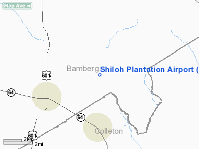
Shiloh Plantation Airport |
Location & QuickFacts
| FAA Information Effective: | 2008-09-25 |
| Airport Identifier: | SC69 |
| Airport Status: | Operational |
| Longitude/Latitude: | 080-57-03.0000W/33-07-14.0000N
-80.950833/33.120556 (Estimated) |
| Elevation: | 131 ft / 39.93 m (Estimated) |
| Land: | 0 acres |
| From nearest city: | 5 nautical miles NE of Ehrhardt, SC |
| Location: | Bamberg County, SC |
| Magnetic Variation: | 05W (1995) |
Owner & Manager
| Ownership: | Privately owned |
| Owner: | Josiah M. Williams |
| Address: | 511 Hickory Cove
Mt. Pleasant, SC 29464 |
| Phone number: | 843-693-1970 |
| Manager: | Josiah M. Williams |
| Address: | 511 Hickory Cove
Mt. Pleasant, SC 29464 |
| Phone number: | 843-693-1970 |
Airport Operations and Facilities
| Airport Use: | Private |
| Segmented Circle: | No |
| Control Tower: | No |
| Sectional chart: | Charlotte |
| Region: | ASO - Southern |
| Boundary ARTCC: | ZJX - Jacksonville |
| Tie-in FSS: | AND - Anderson |
| FSS on Airport: | No |
| FSS Toll Free: | 1-800-WX-BRIEF |
Runway Information
Runway 16/34
| Dimension: | 3000 x 75 ft / 914.4 x 22.9 m |
| Surface: | TURF, |
| |
Runway 16 |
Runway 34 |
| Traffic Pattern: | Left | Left |
| Obstruction: | | 25 ft trees, 100.0 ft from runway |
|
Radio Navigation Aids
| ID |
Type |
Name |
Ch |
Freq |
Var |
Dist |
| OYI | NDB | Orangeburg | | 226.00 | 05W | 18.0 nm |
| RBW | NDB | Walterboro | | 221.00 | 05W | 19.5 nm |
| BKO | NDB | Barnwell | | 392.00 | 06W | 27.4 nm |
| DYB | NDB | Dorchester County | | 365.00 | 05W | 34.1 nm |
| JYL | NDB | Sylvania | | 245.00 | 04W | 43.1 nm |
| CH | NDB | Ashly | | 329.00 | 05W | 43.9 nm |
| MKS | NDB | Moncks Corner | | 354.00 | 05W | 46.4 nm |
| MNI | NDB | Manning | | 381.00 | 06W | 46.8 nm |
| AIK | NDB | Aiken | | 347.00 | 04W | 48.5 nm |
| MMT | NDB | Mc Entire | | 427.00 | 05W | 49.6 nm |
| NBC | TACAN | Beaufort | 042X | | 05W | 40.3 nm |
| ALD | VOR | Allendale | | 116.70 | 01W | 18.4 nm |
| EDS | VOR/DME | Edisto | 051X | 111.40 | 05W | 20.7 nm |
| VAN | VORTAC | Vance | 041X | 110.40 | 06W | 33.0 nm |
| CAE | VORTAC | Columbia | 094X | 114.70 | 02W | 44.6 nm |
| CHS | VORTAC | Charleston | 082X | 113.50 | 05W | 48.0 nm |
| MMT | VORTAC | Mc Entire | 079X | 113.20 | 05W | 48.9 nm |
| CHS | VOT | Charleston | | 111.00 | | 47.6 nm |
Remarks
- PRVDD VFR/PVT USE; LETTER OF AGREEMENT WITH EHRHARDT ARPT REGARDING TFC PATS.
Images and information placed above are from
http://www.airport-data.com/airport/SC69/
We thank them for the data!
| General Info
|
| Country |
United States
|
| State |
SOUTH CAROLINA
|
| FAA ID |
SC69
|
| Latitude |
33-07-14.000N
|
| Longitude |
080-57-03.000W
|
| Elevation |
131 feet
|
| Near City |
EHRHARDT
|
We don't guarantee the information is fresh and accurate. The data may
be wrong or outdated.
For more up-to-date information please refer to other sources.
|
|


