|
|
Rock Hill/york Co/bryant Field Airport |
Coordinates: 34°59′16″N 081°03′26″W / 34.98778°N 81.05722°W / 34.98778; -81.05722
Rock Hill/York County Airport
Bryant Field |
| 220px |
| IATA: RKH – ICAO: KUZA – FAA LID: UZA |
| Summary |
| Airport type |
Public |
| Owner/Operator |
City of Rock Hill |
| Serves |
Rock Hill, South Carolina |
| Elevation AMSL |
667 ft / 203 m |
| Website |
CityOfRockhill.com/airport/ |
| Runways |
| Direction |
Length |
Surface |
| ft |
m |
| 2/20 |
5,500 |
1,676 |
Asphalt |
| Statistics (2007) |
| Aircraft operations |
42,500 |
| Based aircraft |
104 |
| Sources: FAA and airport website |
Rock Hill/York County Airport (IATA: RKH, ICAO: KUZA, FAA LID: UZA), also known as Bryant Field, is a public Municipal airport and a reliever airport of Charlotte-Douglas International Airport located 5 miles (7 km) from the central business district of Rock Hill, in York County, South Carolina, United States.
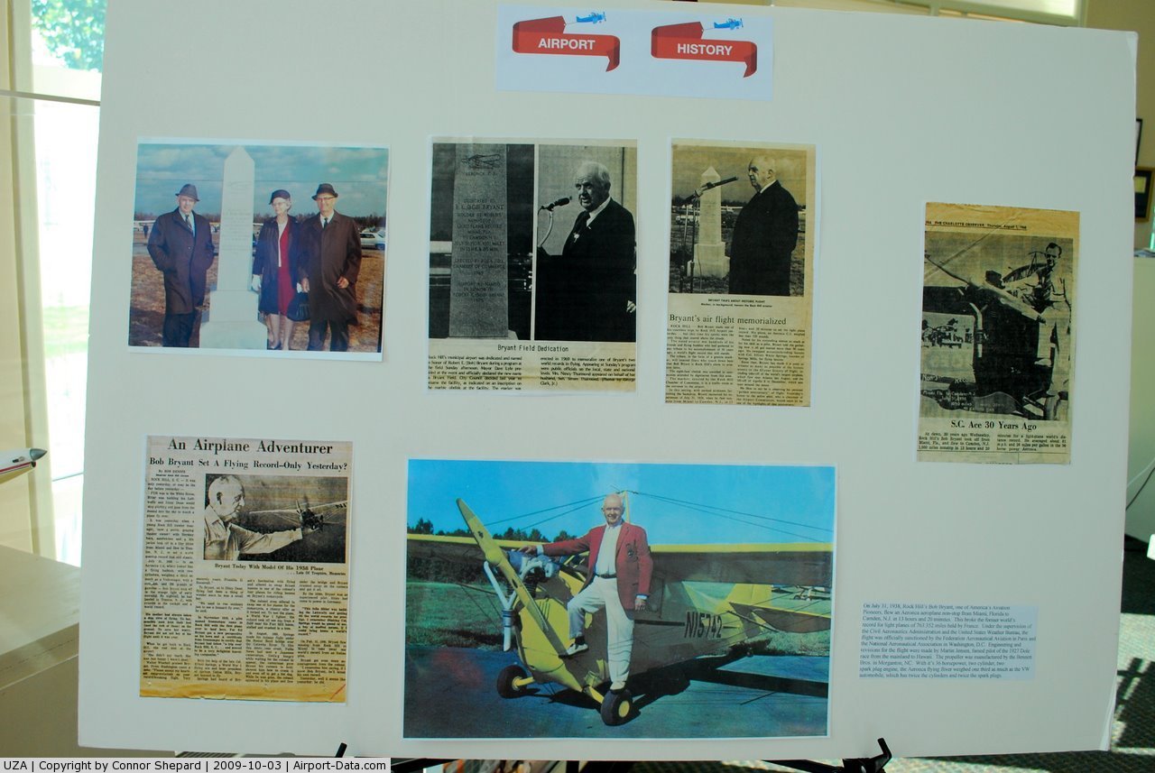
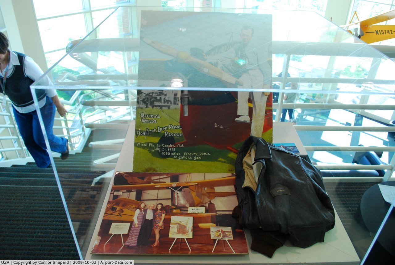
Bryant Field is named for Robert E. Bryant, an aviator with two international records and an inductee in the South Carolina Aviation Hall of Fame. It is owned and operated by the City of Rock Hill, but York County is also represented on the Airport Commission.
Although most U.S. airports use the same three-letter location identifier for the FAA and IATA, Rock Hill/York County Airport is assigned UZA by the FAA and RKH by the IATA. Facilities and aircraft
Rock Hill/York County Airport (Bryant Field) covers an area of 401 acres (162 ha) which contains one asphalt paved runway (2/20) measuring 5,500 x 100 ft (1,676 x 30 m). For the 12-month period ending August 10, 2007, the airport had 42,500 aircraft operations, an average of 116 per day: 98% general aviation, 2% air taxi and <1% military. There are 104 aircraft based at this airport: 97% single-engine and 3% multi-engine.
Construction and Expansion
The City of Rock Hill will add and additional 1,000 ft (304 m) to the Rock Hill/York County Airport Taxiway and Runway. The construction on the runway and taxiway started in the year of 2008 and will be completed by the year of 2012. Other expansions to the airport include a perimeter road and more conventional hangers, they will be completed by 2020. The reason for this expansion is to relieve air traffic from Charlotte-Douglas International Airport and expand tourism for the city of Rock Hill.
The above content comes from Wikipedia and is published under free licenses – click here to read more.
 |
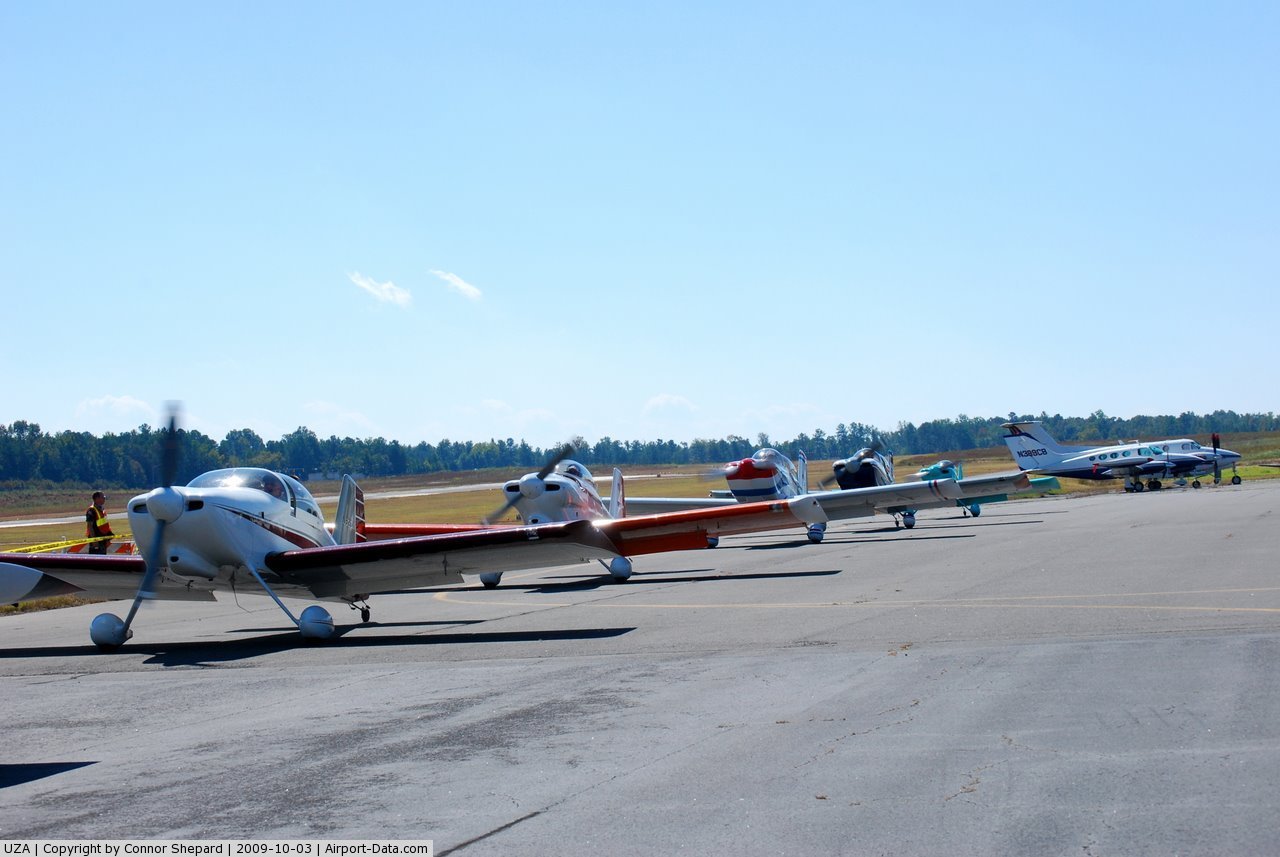
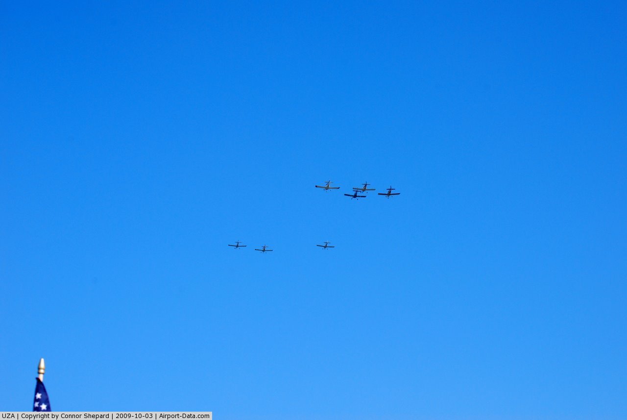
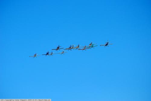
(Click on the photo to enlarge) |
 |
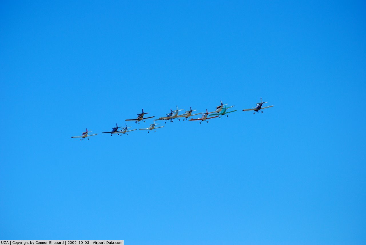
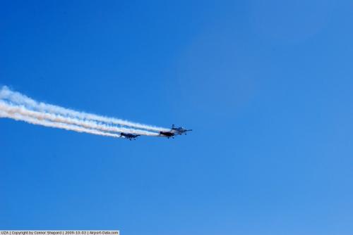
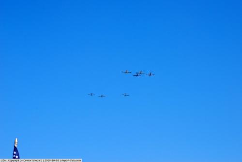
(Click on the photo to enlarge) |
 |
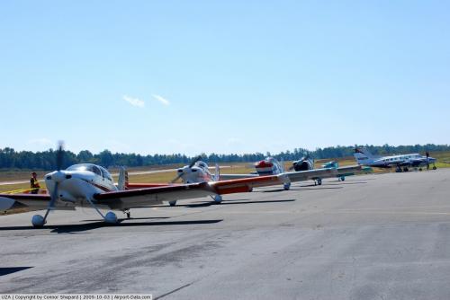
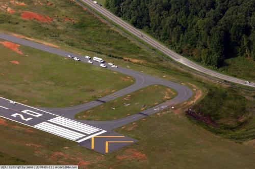
(Click on the photo to enlarge) |
 |
(Click on the photo to enlarge) |
 |
(Click on the photo to enlarge) |
 |
(Click on the photo to enlarge) |
 |
(Click on the photo to enlarge) |
Location & QuickFacts
| FAA Information Effective: | 2008-09-25 |
| Airport Identifier: | UZA |
| Airport Status: | Operational |
| Longitude/Latitude: | 081-03-25.8000W/34-59-16.2000N
-81.057167/34.987833 (Estimated) |
| Elevation: | 666 ft / 203.00 m (Surveyed) |
| Land: | 401 acres |
| From nearest city: | 4 nautical miles NW of Rock Hill, SC |
| Location: | York County, SC |
| Magnetic Variation: | 05W (1990) |
Owner & Manager
| Ownership: | Publicly owned |
| Owner: | City Of Rock Hill |
| Address: | Box 11706
Rock Hill, SC 29731 |
| Phone number: | 803-329-7010 |
| Manager: | Eric Ramsdell
FBO - SKYTECH, MIKE FITZGERALD 803-366-5108. ROCK-HILL AVIATION, LLC. |
| Address: | 550 Airport Rd, Suite 205
Rock Hill, SC 29732 |
| Phone number: | 803-329-5560 |
Airport Operations and Facilities
| Airport Use: | Open to public |
| Wind indicator: | Yes |
| Segmented Circle: | Yes |
| Control Tower: | No |
| Lighting Schedule: | DUSK-DAWN
MIRL RY 02/20 & MALSR RY 02 PRESET MED INTST DUSK-2300; TO INCR INTST & ACTVT AFTER 2300 - CTAF. |
| Beacon Color: | Clear-Green (lighted land airport) |
| Landing fee charge: | No |
| Sectional chart: | Atlanta |
| Region: | ASO - Southern |
| Boundary ARTCC: | ZTL - Atlanta |
| Tie-in FSS: | AND - Anderson |
| FSS on Airport: | No |
| FSS Toll Free: | 1-800-WX-BRIEF |
| NOTAMs Facility: | UZA (NOTAM-d service avaliable) |
| Federal Agreements: | NGY |
Airport Communications
| CTAF: | 123.050 |
| Unicom: | 123.050 |
Airport Services
| Fuel available: | 100LLA |
| Airframe Repair: | MAJOR |
| Power Plant Repair: | MAJOR |
| Bottled Oxygen: | HIGH |
| Bulk Oxygen: | NONE |
Runway Information
Runway 02/20
| Dimension: | 5500 x 100 ft / 1676.4 x 30.5 m |
| Surface: | ASPH, Good Condition |
| Weight Limit: | Single wheel: 30000 lbs.
Dual wheel: 60000 lbs. |
| Edge Lights: | Medium |
| |
Runway 02 |
Runway 20 |
| Longitude: | 081-03-32.2650W | 081-03-19.3964W |
| Latitude: | 34-58-49.4942N | 34-59-42.8548N |
| Elevation: | 666.00 ft | 661.00 ft |
| Alignment: | 11 | 127 |
| ILS Type: | ILS
| |
| Traffic Pattern: | Left | Left |
| Markings: | Non-precision instrument, Good Condition | Non-precision instrument, Good Condition |
| Crossing Height: | 35.00 ft | 39.00 ft |
| VASI: | 2-light PAPI on left side | 2-light PAPI on left side |
| Visual Glide Angle: | 3.00° | 3.00° |
| Approach lights: | MALSR | |
| Obstruction: | 72 ft tree, 2620.0 ft from runway, 251 ft right of centerline, 33:1 slope to clear | 81 ft tree, 2111.0 ft from runway, 226 ft left of centerline, 23:1 slope to clear |
|
Radio Navigation Aids
| ID |
Type |
Name |
Ch |
Freq |
Var |
Dist |
| UZ | NDB | Rally | | 227.00 | 05W | 6.0 nm |
| GHJ | NDB | Stonia | | 260.00 | 06W | 13.2 nm |
| DCM | NDB | Chester | | 220.00 | 06W | 14.0 nm |
| TWL | NDB | Wesley | | 204.00 | 06W | 17.5 nm |
| LKR | NDB | Lancaster | | 400.00 | 07W | 18.7 nm |
| SLP | NDB | First River | | 417.00 | 06W | 31.0 nm |
| IZN | NDB | Lincolnton | | 432.00 | 06W | 33.1 nm |
| UOT | NDB | Union County | | 326.00 | 04W | 34.2 nm |
| PYG | NDB | Pageland | | 270.00 | 06W | 38.4 nm |
| FDW | NDB | Winnsboro | | 414.00 | 05W | 40.6 nm |
| FRT | NDB | Fairmont | | 248.00 | 05W | 46.0 nm |
| VW | NDB | Temky | | 280.00 | 05W | 47.3 nm |
| AFP | NDB | Anson County | | 283.00 | 07W | 48.0 nm |
| CDN | NDB | Camden | | 263.00 | 05W | 48.9 nm |
| RFE | NDB | Rutherford | | 344.00 | 05W | 49.1 nm |
| HK | NDB | Tawba | | 332.00 | 06W | 49.5 nm |
| EOE | NDB | Enoree | | 278.00 | 05W | 49.7 nm |
| CLT | VOR/DME | Charlotte | 097X | 115.00 | 05W | 13.2 nm |
| CTF | VOR/DME | Chesterfield | 019X | 108.20 | 03W | 43.6 nm |
| FML | VORTAC | Fort Mill | 071X | 112.40 | 02W | 5.0 nm |
| SPA | VORTAC | Spartanburg | 104X | 115.70 | 02W | 42.9 nm |
| CLT | VOT | Charlotte | | 112.00 | | 14.9 nm |
| HKY | VOT | Hickory Regional | | 110.00 | | 48.1 nm |
Images and information placed above are from
http://www.airport-data.com/airport/UZA/
We thank them for the data!
| General Info
|
| Country |
United States
|
| State |
SOUTH CAROLINA
|
| FAA ID |
UZA
|
| Latitude |
34-59-16.200N
|
| Longitude |
081-03-25.800W
|
| Elevation |
667 feet
|
| Near City |
ROCK HILL
|
We don't guarantee the information is fresh and accurate. The data may
be wrong or outdated.
For more up-to-date information please refer to other sources.
|
|