 |
|
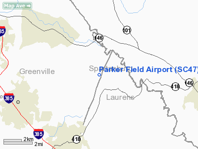
Location & QuickFacts
| FAA Information Effective: | 2008-09-25 |
| Airport Identifier: | SC47 |
| Airport Status: | Operational |
| Longitude/Latitude: | 082-09-41.0000W/34-45-41.0000N
-82.161389/34.761389 (Estimated) |
| Elevation: | 860 ft / 262.13 m (Estimated) |
| Land: | 8 acres |
| From nearest city: | 5 nautical miles E of Simpsonville, SC |
| Location: | Greenville County, SC |
| Magnetic Variation: | 05W (1995) |
Owner & Manager
| Ownership: | Privately owned |
| Owner: | Foothills Aerodrome Inc |
| Address: | 28 Debonair Way
Simpsonville, SC 29681 |
| Phone number: | 864-962-1874 |
| Manager: | John Ellenberg |
| Address: | 28 Debonair Way
Simpsonville, SC 29681 |
| Phone number: | 864-962-1874
ADDL POINT OF CONTACT BOB SPEER, HOME 864-967-3337, WORK 864-297-8338. |
Airport Operations and Facilities
| Airport Use: | Private |
| Segmented Circle: | No |
| Control Tower: | No |
| Lighting Schedule: | RDO-CTL
ACTVT LIRL RY 05/23 - 122.9. |
| Landing fee charge: | No |
| Sectional chart: | Atlanta |
| Region: | ASO - Southern |
| Boundary ARTCC: | ZTL - Atlanta |
| Tie-in FSS: | AND - Anderson |
| FSS on Airport: | No |
| FSS Toll Free: | 1-800-WX-BRIEF |
Runway Information
Runway 05/23
| Dimension: | 3200 x 100 ft / 975.4 x 30.5 m |
| Surface: | TURF, |
| Edge Lights: | Non-standard lighting system
RY 05/23 NSTD LIRL: RY LGTS SPACED EVERY 200 FT W/LGTS AT THLD & 200 FT RED AND LGTS AT 400 FT FROM EACH THLD GREEN TO INDICATE DSPLCD THLDS. |
| |
Runway 05 |
Runway 23 |
| Traffic Pattern: | Left | Left |
| Displaced threshold: | 400.00 ft | 400.00 ft |
|
Radio Navigation Aids
| ID |
Type |
Name |
Ch |
Freq |
Var |
Dist |
| FRT | NDB | Fairmont | | 248.00 | 05W | 12.2 nm |
| GY | NDB | Dyana | | 338.00 | 03W | 14.6 nm |
| LUX | NDB | Laurens | | 307.00 | 04W | 18.5 nm |
| UOT | NDB | Union County | | 326.00 | 04W | 26.1 nm |
| LQK | NDB | Lake Keowee | | 408.00 | 04W | 26.9 nm |
| GIW | NDB | Coronaca | | 239.00 | 04W | 30.7 nm |
| AND | NDB | Anderson County | | 230.00 | 04W | 31.3 nm |
| BRA | NDB | Broad River | | 379.00 | 04W | 34.3 nm |
| CEU | NDB | Clemson | | 257.00 | 05W | 36.2 nm |
| RFE | NDB | Rutherford | | 344.00 | 05W | 36.8 nm |
| EOE | NDB | Enoree | | 278.00 | 05W | 37.5 nm |
| SLP | NDB | First River | | 417.00 | 06W | 40.5 nm |
| DCM | NDB | Chester | | 220.00 | 06W | 47.4 nm |
| SPA | VORTAC | Spartanburg | 104X | 115.70 | 02W | 20.0 nm |
| GRD | VORTAC | Greenwood | 102X | 115.50 | 01W | 30.6 nm |
| ELW | VORTAC | Electric City | 023X | 108.60 | 00E | 37.1 nm |
| SUG | VORTAC | Sugarloaf Mountain | 059X | 112.20 | 02W | 39.1 nm |
Remarks
- ULTRALIGHT TFC IN AREA & CROSSING FIELD BELOW TFC PAT ALT.
- VFR; PVT USE.
Images and information placed above are from
http://www.airport-data.com/airport/SC47/
We thank them for the data!
| General Info
|
| Country |
United States
|
| State |
SOUTH CAROLINA
|
| FAA ID |
SC47
|
| Latitude |
34-45-41.000N
|
| Longitude |
082-09-41.000W
|
| Elevation |
860 feet
|
| Near City |
SIMPSONVILLE
|
We don't guarantee the information is fresh and accurate. The data may
be wrong or outdated.
For more up-to-date information please refer to other sources.
|
|


