|
|
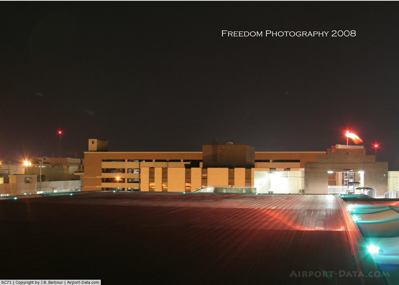
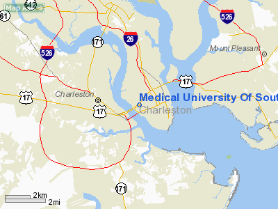
Medical University Of South Carolina Heliport |
 |
(Click on the photo to enlarge) |
Location & QuickFacts
| FAA Information Effective: | 2008-09-25 |
| Airport Identifier: | SC71 |
| Airport Status: | Operational |
| Longitude/Latitude: | 079-57-09.3200W/32-47-13.6350N
-79.952589/32.787121 (Estimated) |
| Elevation: | 15 ft / 4.57 m (Estimated) |
| Land: | 0 acres |
| From nearest city: | 0 nautical miles N of Charleston, SC |
| Location: | Charleston County, SC |
| Magnetic Variation: | 05W (1985) |
Owner & Manager
| Ownership: | Publicly owned |
| Owner: | Medical University Of Sc |
| Address: | Meducare, 71 Courtenay Dr
Charleston, SC 29425 |
| Phone number: | TODD SMITH |
| Manager: | Sandra Davidson |
| Address: | Meducare, 71 Courtenay Dr
Charleston, SC 29425 |
Airport Operations and Facilities
| Airport Use: | Private
MEDICAL. |
| Wind indicator: | Yes |
| Segmented Circle: | No |
| Control Tower: | No |
| Lighting Schedule: | PHONE REQ
FOR PERIMETER LGTS CALL803-792-9544. |
| Sectional chart: | Charlotte |
| Region: | ASO - Southern |
| Boundary ARTCC: | ZJX - Jacksonville |
| Tie-in FSS: | AND - Anderson |
| FSS Toll Free: | 1-800-WX-BRIEF |
Airport Communications
Runway Information
Helipad H1
| Dimension: | 50 x 50 ft / 15.2 x 15.2 m |
| Surface: | CONC, |
| |
Runway H1 |
Runway |
| Traffic Pattern: | Left | Left |
|
Radio Navigation Aids
| ID |
Type |
Name |
Ch |
Freq |
Var |
Dist |
| JZI | NDB | Johns Island | | 283.00 | 05W | 5.8 nm |
| CH | NDB | Ashly | | 329.00 | 05W | 13.5 nm |
| DYB | NDB | Dorchester County | | 365.00 | 05W | 23.2 nm |
| MKS | NDB | Moncks Corner | | 354.00 | 05W | 24.6 nm |
| RBW | NDB | Walterboro | | 221.00 | 05W | 35.7 nm |
| GGE | NDB | Georgetown | | 242.00 | 06W | 44.8 nm |
| PHH | NDB | Andrews | | 255.00 | 06W | 45.3 nm |
| MNI | NDB | Manning | | 381.00 | 06W | 49.8 nm |
| NBC | TACAN | Beaufort | 042X | | 05W | 42.9 nm |
| CHS | VORTAC | Charleston | 082X | 113.50 | 05W | 7.7 nm |
| VAN | VORTAC | Vance | 041X | 110.40 | 06W | 48.3 nm |
| CHS | VOT | Charleston | | 111.00 | | 8.4 nm |
Remarks
Images and information placed above are from
http://www.airport-data.com/airport/SC71/
We thank them for the data!
| General Info
|
| Country |
United States
|
| State |
SOUTH CAROLINA
|
| FAA ID |
SC71
|
| Latitude |
32-47-13.635N
|
| Longitude |
079-57-09.320W
|
| Elevation |
15 feet
|
| Near City |
CHARLESTON
|
We don't guarantee the information is fresh and accurate. The data may
be wrong or outdated.
For more up-to-date information please refer to other sources.
|
|