 |
|
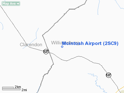
Location & QuickFacts
| FAA Information Effective: | 2008-09-25 |
| Airport Identifier: | 2SC9 |
| Airport Status: | Operational |
| Longitude/Latitude: | 079-57-28.0000W/33-45-01.0000N
-79.957778/33.750278 (Estimated) |
| Elevation: | 76 ft / 23.16 m (Estimated) |
| Land: | 0 acres |
| From nearest city: | 8 nautical miles NW of Kingstree, SC |
| Location: | Williamsburg County, SC |
| Magnetic Variation: | () |
Owner & Manager
| Ownership: | Privately owned |
| Owner: | Atwood I. Mcintosh Jr |
| Address: | 604 Mcintosh Road
Kingstree, SC 29556 |
| Phone number: | 843-372-2085 |
| Manager: | Atwood I. Mcintosh Jr |
| Address: | 604 Mcintosh Road
Kingstree, SC 29556 |
| Phone number: | 843-372-2085 |
Airport Operations and Facilities
| Airport Use: | Private |
| Control Tower: | No |
| Sectional chart: | Charlotte |
| Region: | ASO - Southern |
| Boundary ARTCC: | ZJX - Jacksonville |
| Tie-in FSS: | AND - Anderson |
| FSS Toll Free: | 1-800-WX-BRIEF |
Runway Information
Runway 01/19
| Dimension: | 3000 x 70 ft / 914.4 x 21.3 m |
| Surface: | TURF, |
| |
Runway 01 |
Runway 19 |
| Traffic Pattern: | Left | Left |
|
Radio Navigation Aids
| ID |
Type |
Name |
Ch |
Freq |
Var |
Dist |
| CKI | NDB | Kingstree | | 404.00 | 06W | 5.5 nm |
| CFY | NDB | Evans | | 420.00 | 06W | 11.5 nm |
| MNI | NDB | Manning | | 381.00 | 06W | 15.8 nm |
| HEK | NDB | Stuckey | | 236.00 | 06W | 21.7 nm |
| SMS | NDB | Sumter | | 252.00 | 04W | 24.7 nm |
| PHH | NDB | Andrews | | 255.00 | 06W | 28.1 nm |
| MKS | NDB | Moncks Corner | | 354.00 | 05W | 33.8 nm |
| HVS | NDB | Hartsville | | 341.00 | 07W | 40.3 nm |
| MAO | NDB | Marion | | 388.00 | 06W | 40.7 nm |
| GGE | NDB | Georgetown | | 242.00 | 06W | 41.1 nm |
| HYW | NDB | Horry | | 370.00 | 08W | 41.7 nm |
| UDG | NDB | Darlington | | 245.00 | 06W | 41.8 nm |
| MMT | NDB | Mc Entire | | 427.00 | 05W | 43.5 nm |
| CDN | NDB | Camden | | 263.00 | 05W | 44.0 nm |
| DYB | NDB | Dorchester County | | 365.00 | 05W | 44.4 nm |
| CH | NDB | Ashly | | 329.00 | 05W | 47.0 nm |
| SSC | TACAN | Shaw | 038X | | 05W | 28.8 nm |
| EDS | VOR/DME | Edisto | 051X | 111.40 | 05W | 48.4 nm |
| VAN | VORTAC | Vance | 041X | 110.40 | 06W | 29.6 nm |
| FLO | VORTAC | Florence | 099X | 115.20 | 03W | 32.7 nm |
| MMT | VORTAC | Mc Entire | 079X | 113.20 | 05W | 43.4 nm |
Remarks
- 330 FT TWR 2 NM SSW AND 324 FT TWR 2.5 NM WSW OF APRT.
- NFR OPNS & PVT USE.
Images and information placed above are from
http://www.airport-data.com/airport/2SC9/
We thank them for the data!
|
|


