|
|
 |
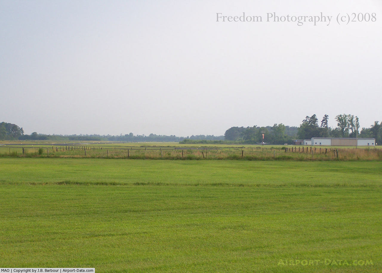
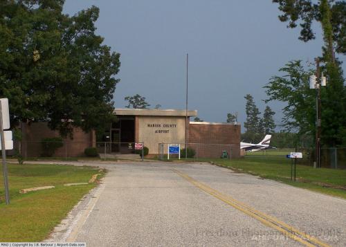
(Click on the photo to enlarge) |
 |
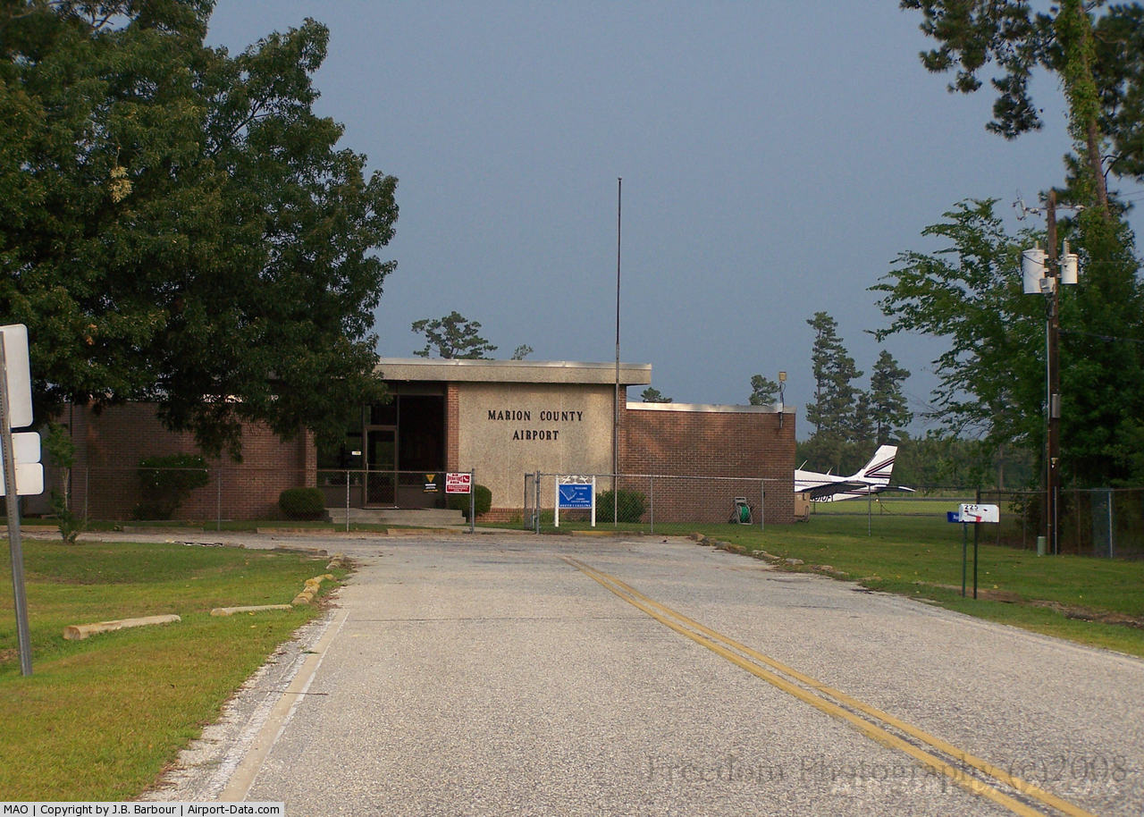
(Click on the photo to enlarge) |
Location & QuickFacts
| FAA Information Effective: | 2008-09-25 |
| Airport Identifier: | MAO |
| Airport Status: | Operational |
| Longitude/Latitude: | 079-20-05.0000W/34-10-52.2000N
-79.334722/34.181167 (Estimated) |
| Elevation: | 92 ft / 28.04 m (Surveyed) |
| Land: | 130 acres |
| From nearest city: | 3 nautical miles E of Marion, SC |
| Location: | Marion County, SC |
| Magnetic Variation: | 06W (1985) |
Owner & Manager
| Ownership: | Publicly owned |
| Owner: | Marion County |
| Address: | Po Box 183
Marion, SC 29571 |
| Phone number: | 843-423-3904 |
| Manager: | Margaret Pittman |
| Address: | 225 Airport Court
Mullins, SC 29574 |
| Phone number: | 843-423-8265 |
Airport Operations and Facilities
| Airport Use: | Open to public |
| Wind indicator: | Yes |
| Segmented Circle: | Yes |
| Control Tower: | No |
| Lighting Schedule: | DUSK-DAWN |
| Beacon Color: | Clear-Green (lighted land airport) |
| Landing fee charge: | No |
| Sectional chart: | Charlotte |
| Region: | ASO - Southern |
| Boundary ARTCC: | ZJX - Jacksonville |
| Tie-in FSS: | AND - Anderson |
| FSS on Airport: | No |
| FSS Toll Free: | 1-800-WX-BRIEF |
| NOTAMs Facility: | AND (NOTAM-d service avaliable) |
| Federal Agreements: | NGY |
Airport Communications
| CTAF: | 122.800 |
| Unicom: | 122.800 |
Airport Services
| Fuel available: | 100LLA
FOR FUEL AFT HRS CALL 843-526-1409 MON-SUN; CALL EITHER 843-423-7325 OR 843-464-0401. |
| Airframe Repair: | NONE |
| Power Plant Repair: | NONE |
| Bottled Oxygen: | NONE |
| Bulk Oxygen: | NONE |
Runway Information
Runway 04/22
| Dimension: | 4503 x 100 ft / 1372.5 x 30.5 m |
| Surface: | ASPH, Good Condition |
| Weight Limit: | Single wheel: 26000 lbs.
Dual wheel: 34000 lbs. |
| Edge Lights: | Medium |
| |
Runway 04 |
Runway 22 |
| Longitude: | 079-20-20.2140W | 079-19-49.7580W |
| Latitude: | 34-10-33.8730N | 34-11-10.5300N |
| Elevation: | 92.00 ft | 90.00 ft |
| Alignment: | 35 | 127 |
| Traffic Pattern: | Right | Right |
| Markings: | Non-precision instrument, Good Condition | Non-precision instrument, Good Condition |
| Obstruction: | , 34:1 slope to clear | 37 ft tree, 888.0 ft from runway, 88 ft left of centerline, 18:1 slope to clear |
|
Radio Navigation Aids
| ID |
Type |
Name |
Ch |
Freq |
Var |
Dist |
| MAO | NDB | Marion | | 388.00 | 06W | 0.3 nm |
| DLC | NDB | Dillon | | 274.00 | 05W | 16.3 nm |
| HYW | NDB | Horry | | 370.00 | 08W | 23.8 nm |
| JB | NDB | Jigel | | 384.00 | 08W | 24.0 nm |
| HEK | NDB | Stuckey | | 236.00 | 06W | 28.8 nm |
| CFY | NDB | Evans | | 420.00 | 06W | 29.0 nm |
| RSY | NDB | Robeson | | 359.00 | 08W | 29.3 nm |
| CPC | NDB | Camp | | 227.00 | 07W | 31.3 nm |
| UDG | NDB | Darlington | | 245.00 | 06W | 31.6 nm |
| BES | NDB | Bennettsville | | 230.00 | 07W | 33.0 nm |
| ME | NDB | Maxtn | | 257.00 | 08W | 33.7 nm |
| CKI | NDB | Kingstree | | 404.00 | 06W | 38.1 nm |
| HVS | NDB | Hartsville | | 341.00 | 07W | 41.3 nm |
| CQW | NDB | Cheraw | | 409.00 | 05W | 42.8 nm |
| RCZ | NDB | Roscoe | | 375.00 | 07W | 44.1 nm |
| PHH | NDB | Andrews | | 255.00 | 06W | 44.9 nm |
| TGQ | NDB | Elizabethtown | | 398.00 | 08W | 45.7 nm |
| LBT | VOR | Lumberton | | 110.00 | 08W | 29.3 nm |
| FLO | VORTAC | Florence | 099X | 115.20 | 03W | 16.3 nm |
| CRE | VORTAC | Grand Strand | 123X | 117.60 | 03W | 37.6 nm |
Remarks
- STUDENT TRAINING ON & INVOF ARPT.
Images and information placed above are from
http://www.airport-data.com/airport/MAO/
We thank them for the data!
| General Info
|
| Country |
United States
|
| State |
SOUTH CAROLINA
|
| FAA ID |
MAO
|
| Latitude |
34-10-52.200N
|
| Longitude |
079-20-05.000W
|
| Elevation |
92 feet
|
| Near City |
MARION
|
We don't guarantee the information is fresh and accurate. The data may
be wrong or outdated.
For more up-to-date information please refer to other sources.
|
|