 |
|
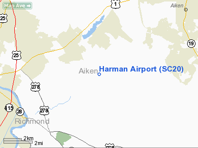
Location & QuickFacts
| FAA Information Effective: | 2008-09-25 |
| Airport Identifier: | SC20 |
| Airport Status: | Operational |
| Longitude/Latitude: | 081-49-33.4030W/33-29-03.4960N
-81.825945/33.484304 (Estimated) |
| Elevation: | 458 ft / 139.60 m (Estimated) |
| Land: | 0 acres |
| From nearest city: | 2 nautical miles S of Langley, SC |
| Location: | Aiken County, SC |
| Magnetic Variation: | 04W (1985) |
Owner & Manager
| Ownership: | Privately owned |
| Owner: | Charles W. Harman |
| Address: | 3091 Pine Log Rd
Warrenville, SC 29851 |
| Phone number: | 803-593-8458 |
| Address: |
|
Airport Operations and Facilities
| Airport Use: | Private |
| Wind indicator: | Yes |
| Segmented Circle: | No |
| Control Tower: | No |
| Landing fee charge: | No |
| Sectional chart: | Atlanta |
| Region: | ASO - Southern |
| Boundary ARTCC: | ZJX - Jacksonville |
| Tie-in FSS: | AND - Anderson |
| FSS on Airport: | No |
| FSS Toll Free: | 1-800-WX-BRIEF |
Runway Information
Runway 14/32
| Dimension: | 2000 x 70 ft / 609.6 x 21.3 m |
| Surface: | TURF, |
| |
Runway 14 |
Runway 32 |
| Traffic Pattern: | Left | Left |
| Obstruction: | 35 ft plines, 75.0 ft from runway | 35 ft trees, 75.0 ft from runway |
|
Radio Navigation Aids
| ID |
Type |
Name |
Ch |
Freq |
Var |
Dist |
| EMR | NDB | Emory | | 385.00 | 04W | 8.7 nm |
| AIK | NDB | Aiken | | 347.00 | 04W | 12.5 nm |
| BKO | NDB | Barnwell | | 392.00 | 06W | 21.8 nm |
| BXG | NDB | Burke County | | 356.00 | 04W | 28.0 nm |
| HQU | NDB | Thomson-mcduffie | | 333.00 | 04W | 34.7 nm |
| LNH | NDB | Millen | | 205.00 | 05W | 36.1 nm |
| AA | NDB | Cedar | | 341.00 | 04W | 39.6 nm |
| OYI | NDB | Orangeburg | | 226.00 | 05W | 46.3 nm |
| GIW | NDB | Coronaca | | 239.00 | 04W | 48.0 nm |
| ALD | VOR | Allendale | | 116.70 | 01W | 39.0 nm |
| EDS | VOR/DME | Edisto | 051X | 111.40 | 05W | 48.5 nm |
| IRQ | VORTAC | Colliers | 086X | 113.90 | 04W | 21.5 nm |
| CAE | VORTAC | Columbia | 094X | 114.70 | 02W | 44.7 nm |
| GRD | VORTAC | Greenwood | 102X | 115.50 | 01W | 48.9 nm |
Remarks
- APT LIMITED TO PVT USE AND VFR OPERATIONS.
Images and information placed above are from
http://www.airport-data.com/airport/SC20/
We thank them for the data!
| General Info
|
| Country |
United States
|
| State |
SOUTH CAROLINA
|
| FAA ID |
SC20
|
| Latitude |
33-29-03.496N
|
| Longitude |
081-49-33.403W
|
| Elevation |
458 feet
|
| Near City |
LANGLEY
|
We don't guarantee the information is fresh and accurate. The data may
be wrong or outdated.
For more up-to-date information please refer to other sources.
|
|


