|
|
| Green Sea Airport |
| IATA: none – ICAO: none – FAA LID: S79 |
| Summary |
| Airport type |
Public |
| Owner |
Earl Shaw |
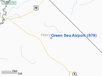
| Location |
Green Sea, South Carolina |
| Elevation AMSL |
95 ft / 29 m |
| Coordinates |
34°11′08″N 079°01′14″W / 34.18556°N 79.02056°W / 34.18556; -79.02056 |
| Runways |
| Direction |
Length |
Surface |
| ft |
m |
| 9/27 |
3,600 |
1,097 |
Turf |
| Statistics (2008) |
| Aircraft operations |
250 |
| Source: Federal Aviation Administration |
Green Sea Airport (FAA LID: S79) is a privately-owned, public-use airport in Horry County, South Carolina, United States. It is located four nautical miles (7 km) northwest of the central business district of Green Sea, South Carolina.
Facilities and aircraft
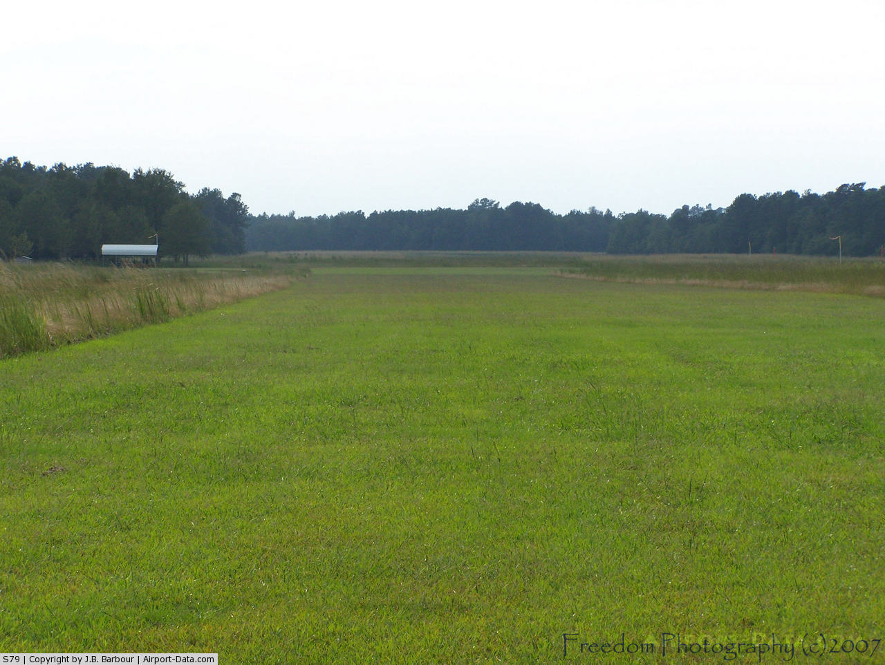
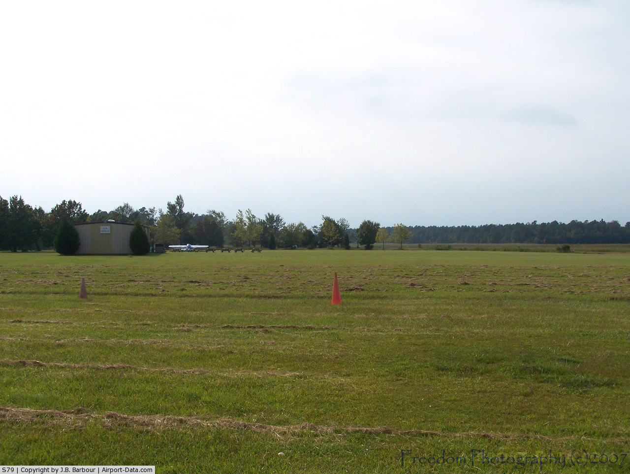
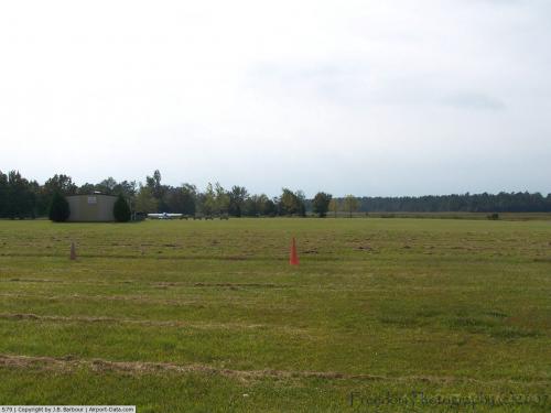
Green Sea Airport covers an area of 30 acres (12 ha) at an elevation of 95 feet (29 m) above mean sea level. It has one runway designated 9/27 with a turf surface measuring 3,600 by 100 feet (1,097 x 30 m). For the 12-month period ending October 30, 2008, the airport had 250 general aviation aircraft operations, an average of 20 per month.
The above content comes from Wikipedia and is published under free licenses – click here to read more.
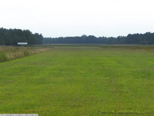 |
(Click on the photo to enlarge) |
 |
(Click on the photo to enlarge) |
Location & QuickFacts
| FAA Information Effective: | 2008-09-25 |
| Airport Identifier: | S79 |
| Airport Status: | Operational |
| Longitude/Latitude: | 079-01-14.1150W/34-11-08.0000N
-79.020587/34.185556 (Estimated) |
| Elevation: | 95 ft / 28.96 m (Estimated) |
| Land: | 30 acres |
| From nearest city: | 4 nautical miles NW of Green Sea, SC |
| Location: | Horry County, SC |
| Magnetic Variation: | 07W (1990) |
Owner & Manager
| Ownership: | Privately owned |
| Owner: | Earl Shaw |
| Address: | Po Box 123
Long, SC 29568 |
| Phone number: | 843-756-1497 |
| Manager: | Earl Shaw |
| Address: | Po Box 123
Long, SC 29568 |
| Phone number: | 843-756-1497 |
Airport Operations and Facilities
| Airport Use: | Open to public |
| Wind indicator: | Yes |
| Segmented Circle: | No |
| Control Tower: | No |
| Sectional chart: | Charlotte |
| Region: | ASO - Southern |
| Boundary ARTCC: | ZJX - Jacksonville |
| Tie-in FSS: | AND - Anderson |
| FSS on Airport: | No |
| FSS Toll Free: | 1-800-WX-BRIEF |
| NOTAMs Facility: | AND (NOTAM-d service avaliable) |
Airport Communications
Airport Services
Runway Information
Runway 09/27
| Dimension: | 3600 x 100 ft / 1097.3 x 30.5 m |
| Surface: | TURF, Good Condition |
| |
Runway 09 |
Runway 27 |
| Traffic Pattern: | Left | Left |
| Obstruction: | 78 ft tree, 543.0 ft from runway, 150 ft left of centerline, 6:1 slope to clear | 111 ft tree, 1853.0 ft from runway, 90 ft right of centerline, 16:1 slope to clear |
|
Radio Navigation Aids
| ID |
Type |
Name |
Ch |
Freq |
Var |
Dist |
| MAO | NDB | Marion | | 388.00 | 06W | 15.5 nm |
| CPC | NDB | Camp | | 227.00 | 07W | 16.1 nm |
| HYW | NDB | Horry | | 370.00 | 08W | 22.4 nm |
| JB | NDB | Jigel | | 384.00 | 08W | 22.4 nm |
| DLC | NDB | Dillon | | 274.00 | 05W | 23.5 nm |
| RSY | NDB | Robeson | | 359.00 | 08W | 25.8 nm |
| TGQ | NDB | Elizabethtown | | 398.00 | 08W | 32.4 nm |
| HEK | NDB | Stuckey | | 236.00 | 06W | 37.2 nm |
| ME | NDB | Maxtn | | 257.00 | 08W | 39.1 nm |
| CFY | NDB | Evans | | 420.00 | 06W | 42.1 nm |
| BES | NDB | Bennettsville | | 230.00 | 07W | 43.9 nm |
| UDG | NDB | Darlington | | 245.00 | 06W | 45.7 nm |
| SUT | NDB | Yaupon | | 233.00 | 08W | 49.6 nm |
| LBT | VOR | Lumberton | | 110.00 | 08W | 25.6 nm |
| FAY | VOR/DME | Fayetteville | 025X | 108.80 | 04W | 48.6 nm |
| CRE | VORTAC | Grand Strand | 123X | 117.60 | 03W | 26.8 nm |
| FLO | VORTAC | Florence | 099X | 115.20 | 03W | 31.8 nm |
Remarks
- REMOTE CONTROLLED ACFT INVOF ARPT.
- VFR USE ONLY.
Images and information placed above are from
http://www.airport-data.com/airport/S79/
We thank them for the data!
| General Info
|
| Country |
United States
|
| State |
SOUTH CAROLINA
|
| FAA ID |
S79
|
| Latitude |
34-11-08.000N
|
| Longitude |
079-01-14.115W
|
| Elevation |
95 feet
|
| Near City |
GREEN SEA
|
We don't guarantee the information is fresh and accurate. The data may
be wrong or outdated.
For more up-to-date information please refer to other sources.
|
|