 |
|
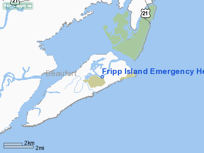
Fripp Island Emergency Heliport |
Location & QuickFacts
| FAA Information Effective: | 2008-09-25 |
| Airport Identifier: | SC68 |
| Airport Status: | Operational |
| Longitude/Latitude: | 080-29-28.3860W/32-19-18.7070N
-80.491218/32.321863 (Estimated) |
| Elevation: | 8 ft / 2.44 m (Estimated) |
| Land: | 0 acres |
| From nearest city: | 6 nautical miles NW of Frogmore, SC |
| Location: | Beaufort County, SC |
| Magnetic Variation: | 04W (1985) |
Owner & Manager
| Ownership: | Privately owned |
| Owner: | The Fripp Company, Inc |
| Address: | 1 Tarpon Blvd
Fripp Island, SC 29920 |
| Phone number: | 803-838-2131 |
| Manager: | Fripp Island Sea Rescue |
| Address: | 829 Bonita Road
Fripp Island, SC 29920 |
| Phone number: | 803-838-3714 |
Airport Operations and Facilities
| Airport Use: | Private
MEDICAL. |
| Wind indicator: | Yes |
| Segmented Circle: | No |
| Control Tower: | No |
| Lighting Schedule: | PHONE REQ
FOR PERIMETER LGTS CALL 803-838-3714/2334. |
| Sectional chart: | Charlotte |
| Region: | ASO - Southern |
| Boundary ARTCC: | ZJX - Jacksonville |
| Tie-in FSS: | AND - Anderson |
| FSS Toll Free: | 1-800-WX-BRIEF |
Runway Information
Helipad H1
| Dimension: | 50 x 50 ft / 15.2 x 15.2 m |
| Surface: | TURF, |
| |
Runway H1 |
Runway |
| Traffic Pattern: | Left | Left |
|
Radio Navigation Aids
| ID |
Type |
Name |
Ch |
Freq |
Var |
Dist |
| JZI | NDB | Johns Island | | 283.00 | 05W | 33.6 nm |
| RBW | NDB | Walterboro | | 221.00 | 05W | 37.1 nm |
| CH | NDB | Ashly | | 329.00 | 05W | 44.1 nm |
| DYB | NDB | Dorchester County | | 365.00 | 05W | 45.7 nm |
| NBC | TACAN | Beaufort | 042X | | 05W | 14.9 nm |
| SVN | VOR/DME | Hunter | 53X | 111.60 | 02W | 37.9 nm |
| SAV | VORTAC | Savannah | 106Y | 115.95 | 06W | 37.5 nm |
| CHS | VORTAC | Charleston | 082X | 113.50 | 05W | 41.4 nm |
| SAV | VOT | Savannah Travis Fld | | 111.00 | | 38.0 nm |
| CHS | VOT | Charleston | | 111.00 | | 41.8 nm |
Remarks
Images and information placed above are from
http://www.airport-data.com/airport/SC68/
We thank them for the data!
| General Info
|
| Country |
United States
|
| State |
SOUTH CAROLINA
|
| FAA ID |
SC68
|
| Latitude |
32-19-18.707N
|
| Longitude |
080-29-28.386W
|
| Elevation |
8 feet
|
| Near City |
FROGMORE
|
We don't guarantee the information is fresh and accurate. The data may
be wrong or outdated.
For more up-to-date information please refer to other sources.
|
|


