|
|
| Dillon County Airport |
| IATA: DLL – ICAO: KDLC – FAA LID: DLC |
| Summary |
| Airport type |
Public |
| Owner |
Dillon County |
| Serves |
Dillon, South Carolina |
| Elevation AMSL |
133 ft / 41 m |
| Coordinates |
34°26′57″N 079°22′07″W / 34.44917°N 79.36861°W / 34.44917; -79.36861 |
| Runways |
| Direction |
Length |
Surface |
| ft |
m |
| 7/25 |
3,000 |
914 |
Asphalt |
| Statistics (2007) |
| Aircraft operations |
2,100 |
| Source: Federal Aviation Administration |
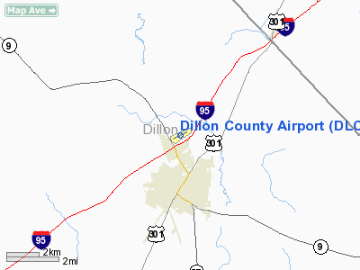
Dillon County Airport (IATA: DLL, ICAO: KDLC, FAA LID: DLC) is a county-owned public-use airport located three nautical miles (6 km) north of the central business district of Dillon, a city in Dillon County, South Carolina, United States.
Although most U.S. airports use the same three-letter location identifier for the FAA and IATA, this airport is assigned DLC by the FAA and DLL by the IATA (which assigned DLC to Dalian Zhoushuizi International Airport in Dalian, Liaoning, People's Republic of China).
Facilities and aircraft
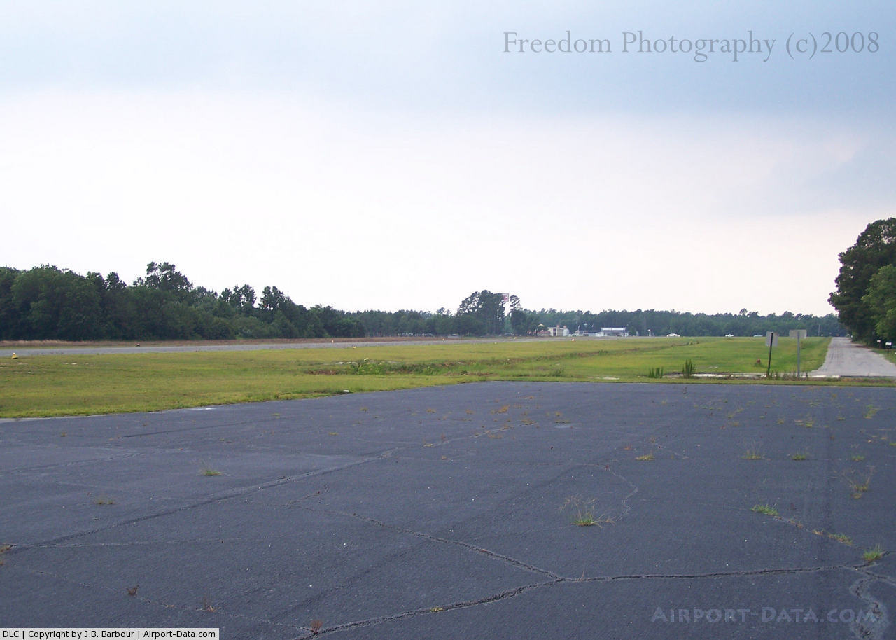
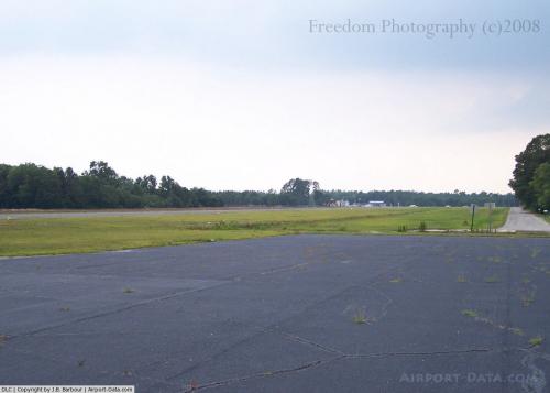
Dillon County Airport covers an area of 32 acres (13 ha) at an elevation of 133 feet (41 m) above mean sea level. It has one asphalt paved runway designated 7/25 which measures 3,000 by 60 feet (914 x 18 m). For the 12-month period ending April 5, 2007, the airport had 2,100 aircraft operations, an average of 175 per month: 95% general aviation and 5% military.
The above content comes from Wikipedia and is published under free licenses – click here to read more.
 |
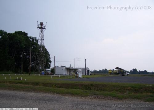
(Click on the photo to enlarge) |
 |
(Click on the photo to enlarge) |
Location & QuickFacts
| FAA Information Effective: | 2008-09-25 |
| Airport Identifier: | DLC |
| Airport Status: | Operational |
| Longitude/Latitude: | 079-22-06.9000W/34-26-56.6000N
-79.368583/34.449056 (Estimated) |
| Elevation: | 133 ft / 40.54 m (Surveyed) |
| Land: | 32 acres |
| From nearest city: | 3 nautical miles N of Dillon, SC |
| Location: | Dillon County, SC |
| Magnetic Variation: | 06W (1985) |
Owner & Manager
| Ownership: | Publicly owned |
| Owner: | Dillon County |
| Address: | Po Box 449
Dillon, SC 29536 |
| Phone number: | 803-774-1401 |
| Manager: | Clay Young
COUNTY ADMINISTRATOR |
| Address: | Box 449
Dillon, SC 29536 |
| Phone number: | 843-779-1400 |
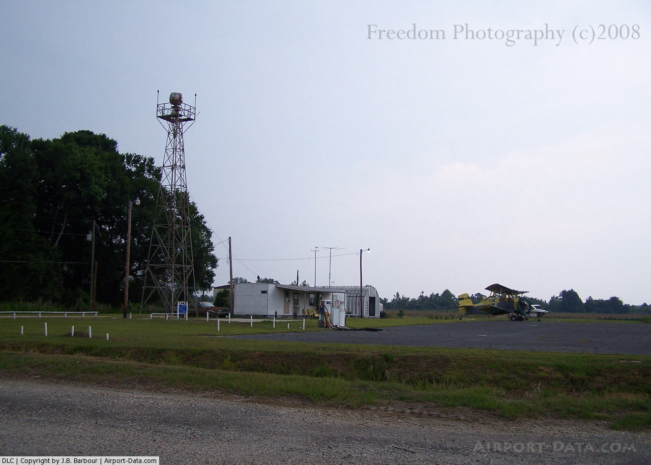
Airport Operations and Facilities
| Airport Use: | Open to public |
| Wind indicator: | Yes |
| Segmented Circle: | Yes |
| Control Tower: | No |
| Lighting Schedule: | DUSK-DAWN |
| Beacon Color: | Clear-Green (lighted land airport) |
| Landing fee charge: | No |
| Sectional chart: | Charlotte |
| Region: | ASO - Southern |
| Boundary ARTCC: | ZJX - Jacksonville |
| Tie-in FSS: | AND - Anderson |
| FSS on Airport: | No |
| FSS Toll Free: | 1-800-WX-BRIEF |
| NOTAMs Facility: | AND (NOTAM-d service avaliable) |
| Federal Agreements: | NGY |
Airport Communications
| CTAF: | 122.800 |
| Unicom: | 122.800 |
Airport Services
| Airframe Repair: | NONE |
| Power Plant Repair: | NONE |
| Bottled Oxygen: | NONE |
| Bulk Oxygen: | NONE |
Runway Information
Runway 07/25
| Dimension: | 3000 x 60 ft / 914.4 x 18.3 m |
| Surface: | ASPH, Poor Condition
RY 07/25 HAS CRACKS, SPALLING & GRASS GROWING THRU CRACKS. |
| Surface Treatment: | Aggregate Friction Seal Coat |
| Weight Limit: | Single wheel: 10000 lbs. |
| Edge Lights: | Medium |
| |
Runway 07 |
Runway 25 |
| Longitude: | 079-22-23.0170W | 079-21-50.8320W |
| Latitude: | 34-26-50.0740N | 34-27-03.1020N |
| Elevation: | 133.00 ft | 117.00 ft |
| Alignment: | 64 | 127 |
| Traffic Pattern: | Left | Left |
| Markings: | Non-precision instrument, Poor Condition
NON-PRECISION MARKINGS ON RUNWAY 7 ARE FADED OUT. | Non-precision instrument, Poor Condition |
| Obstruction: | 53 ft pole, 937.0 ft from runway, 315 ft right of centerline, 13:1 slope to clear | 75 ft tree, 398.0 ft from runway, 233 ft left of centerline, 2:1 slope to clear |
|
Radio Navigation Aids
| ID |
Type |
Name |
Ch |
Freq |
Var |
Dist |
| JB | NDB | Jigel | | 384.00 | 08W | 12.8 nm |
| MAO | NDB | Marion | | 388.00 | 06W | 16.0 nm |
| ME | NDB | Maxtn | | 257.00 | 08W | 17.5 nm |
| RSY | NDB | Robeson | | 359.00 | 08W | 18.2 nm |
| BES | NDB | Bennettsville | | 230.00 | 07W | 20.8 nm |
| UDG | NDB | Darlington | | 245.00 | 06W | 25.7 nm |
| RCZ | NDB | Roscoe | | 375.00 | 07W | 29.1 nm |
| CQW | NDB | Cheraw | | 409.00 | 05W | 30.2 nm |
| CPC | NDB | Camp | | 227.00 | 07W | 34.2 nm |
| HFF | NDB | Mackall | | 278.00 | 06W | 35.3 nm |
| HVS | NDB | Hartsville | | 341.00 | 07W | 37.3 nm |
| HYW | NDB | Horry | | 370.00 | 08W | 39.5 nm |
| CFY | NDB | Evans | | 420.00 | 06W | 40.8 nm |
| TGQ | NDB | Elizabethtown | | 398.00 | 08W | 42.5 nm |
| HEK | NDB | Stuckey | | 236.00 | 06W | 44.0 nm |
| AFP | NDB | Anson County | | 283.00 | 07W | 49.4 nm |
| FGP | NDB | Fort Bragg | | 393.00 | 07W | 49.7 nm |
| POB | TACAN | Pope | 085X | | 07W | 46.0 nm |
| LBT | VOR | Lumberton | | 110.00 | 08W | 18.3 nm |
| FAY | VOR/DME | Fayetteville | 025X | 108.80 | 04W | 40.4 nm |
| CTF | VOR/DME | Chesterfield | 019X | 108.20 | 03W | 46.5 nm |
| FLO | VORTAC | Florence | 099X | 115.20 | 03W | 19.3 nm |
| SDZ | VORTAC | Sandhills | 055X | 111.80 | 03W | 47.3 nm |
| CRE | VORTAC | Grand Strand | 123X | 117.60 | 03W | 49.8 nm |
Images and information placed above are from
http://www.airport-data.com/airport/DLC/
We thank them for the data!
| General Info
|
| Country |
United States
|
| State |
SOUTH CAROLINA
|
| FAA ID |
DLC
|
| Latitude |
34-26-56.600N
|
| Longitude |
079-22-06.900W
|
| Elevation |
133 feet
|
| Near City |
DILLON
|
We don't guarantee the information is fresh and accurate. The data may
be wrong or outdated.
For more up-to-date information please refer to other sources.
|
|