 |
|
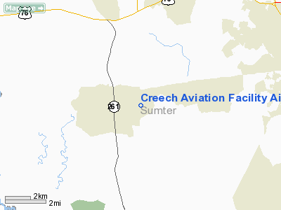
Creech Aviation Facility Airport |
Location & QuickFacts
| FAA Information Effective: | 2008-09-25 |
| Airport Identifier: | SC57 |
| Airport Status: | Operational |
| Longitude/Latitude: | 080-29-41.3030W/33-53-03.5640N
-80.494806/33.884323 (Estimated) |
| Elevation: | 178 ft / 54.25 m (Estimated) |
| Land: | 0 acres |
| From nearest city: | 3 nautical miles E of Wedgefield, SC |
| Location: | Sumter County, SC |
| Magnetic Variation: | 05W (1990) |
Owner & Manager
| Ownership: | Publicly owned |
| Owner: | Sc Forestry Commission |
| Address: | 5500 Broad River Rd
Columbia, SC 29210 |
| Phone number: | 803-737-8800 |
| Address: |
|
Airport Operations and Facilities
| Airport Use: | Private |
| Wind indicator: | Yes |
| Segmented Circle: | No |
| Control Tower: | No |
| Sectional chart: | Charlotte |
| Region: | ASO - Southern |
| Boundary ARTCC: | ZJX - Jacksonville |
| Tie-in FSS: | AND - Anderson |
| FSS Toll Free: | 1-800-WX-BRIEF |
Runway Information
Runway 09/27
| Dimension: | 1900 x 100 ft / 579.1 x 30.5 m |
| Surface: | TURF, |
| |
Runway 09 |
Runway 27 |
| Traffic Pattern: | Left | Left |
| Obstruction: | 50 ft plines, 1700.0 ft from runway | |
|
Radio Navigation Aids
| ID |
Type |
Name |
Ch |
Freq |
Var |
Dist |
| SMS | NDB | Sumter | | 252.00 | 04W | 9.3 nm |
| MMT | NDB | Mc Entire | | 427.00 | 05W | 15.5 nm |
| MNI | NDB | Manning | | 381.00 | 06W | 22.9 nm |
| CDN | NDB | Camden | | 263.00 | 05W | 24.2 nm |
| CKI | NDB | Kingstree | | 404.00 | 06W | 33.5 nm |
| OYI | NDB | Orangeburg | | 226.00 | 05W | 34.8 nm |
| CFY | NDB | Evans | | 420.00 | 06W | 36.4 nm |
| HVS | NDB | Hartsville | | 341.00 | 07W | 36.5 nm |
| FDW | NDB | Winnsboro | | 414.00 | 05W | 40.2 nm |
| UDG | NDB | Darlington | | 245.00 | 06W | 45.2 nm |
| MKS | NDB | Moncks Corner | | 354.00 | 05W | 47.7 nm |
| HEK | NDB | Stuckey | | 236.00 | 06W | 49.3 nm |
| SSC | TACAN | Shaw | 038X | | 05W | 5.8 nm |
| EDS | VOR/DME | Edisto | 051X | 111.40 | 05W | 31.5 nm |
| CTF | VOR/DME | Chesterfield | 019X | 108.20 | 03W | 47.3 nm |
| MMT | VORTAC | Mc Entire | 079X | 113.20 | 05W | 15.5 nm |
| VAN | VORTAC | Vance | 041X | 110.40 | 06W | 24.7 nm |
| CAE | VORTAC | Columbia | 094X | 114.70 | 02W | 28.0 nm |
| FLO | VORTAC | Florence | 099X | 115.20 | 03W | 46.7 nm |
Remarks
- PRVDD ALL OPNS ARE CONDUCTED IN VFR WX CONDS & THE LDG AREA IS LIMITED TO PVT USE.
Images and information placed above are from
http://www.airport-data.com/airport/SC57/
We thank them for the data!
| General Info
|
| Country |
United States
|
| State |
SOUTH CAROLINA
|
| FAA ID |
SC57
|
| Latitude |
33-53-03.564N
|
| Longitude |
080-29-41.303W
|
| Elevation |
178 feet
|
| Near City |
WEDGEFIELD
|
We don't guarantee the information is fresh and accurate. The data may
be wrong or outdated.
For more up-to-date information please refer to other sources.
|
|


