|
|
Chester Catawba Rgnl Airport |
 |
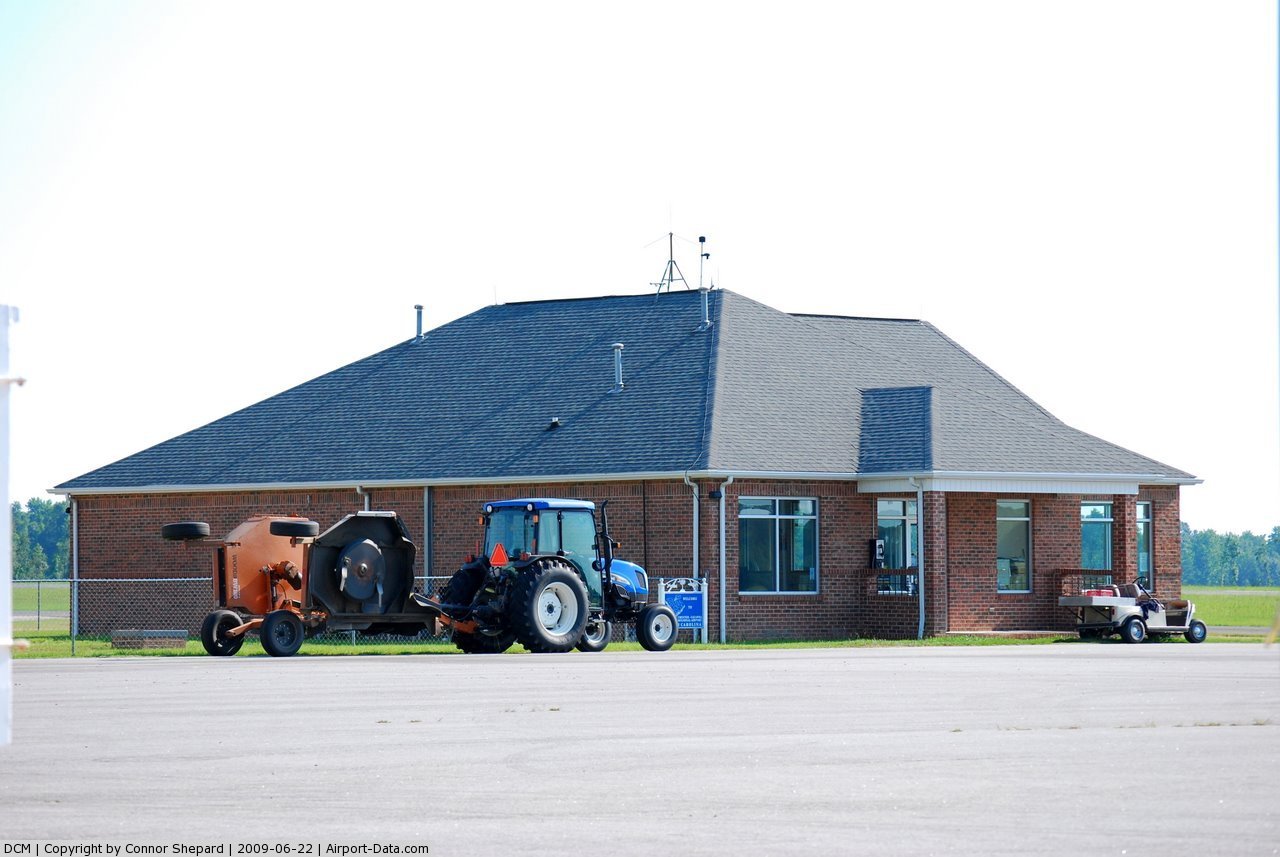
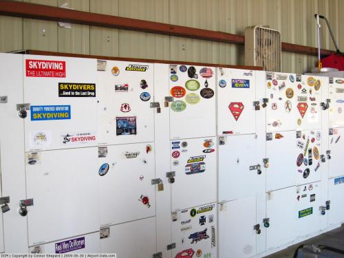
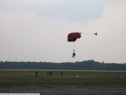
(Click on the photo to enlarge) |
 |
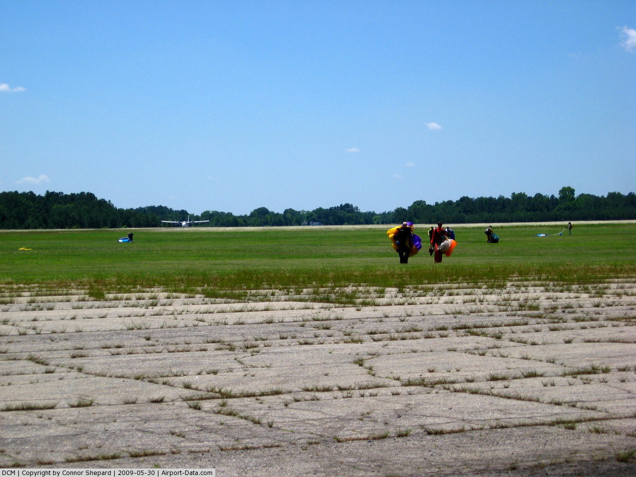
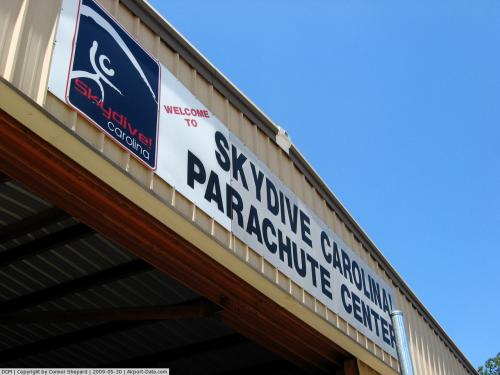
(Click on the photo to enlarge) |
 |
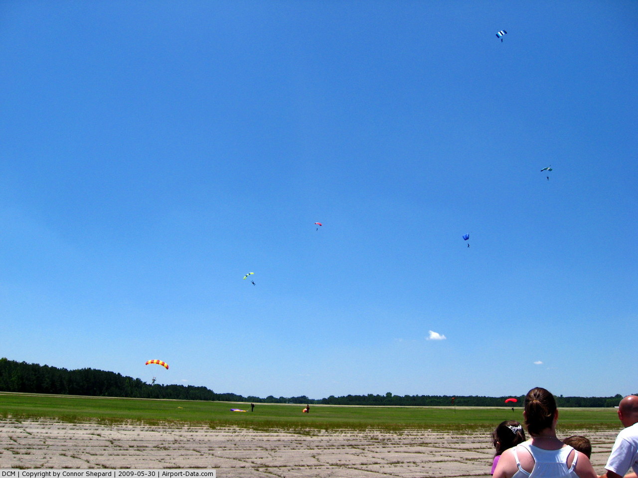
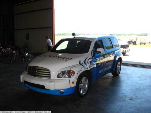
(Click on the photo to enlarge) |
 |
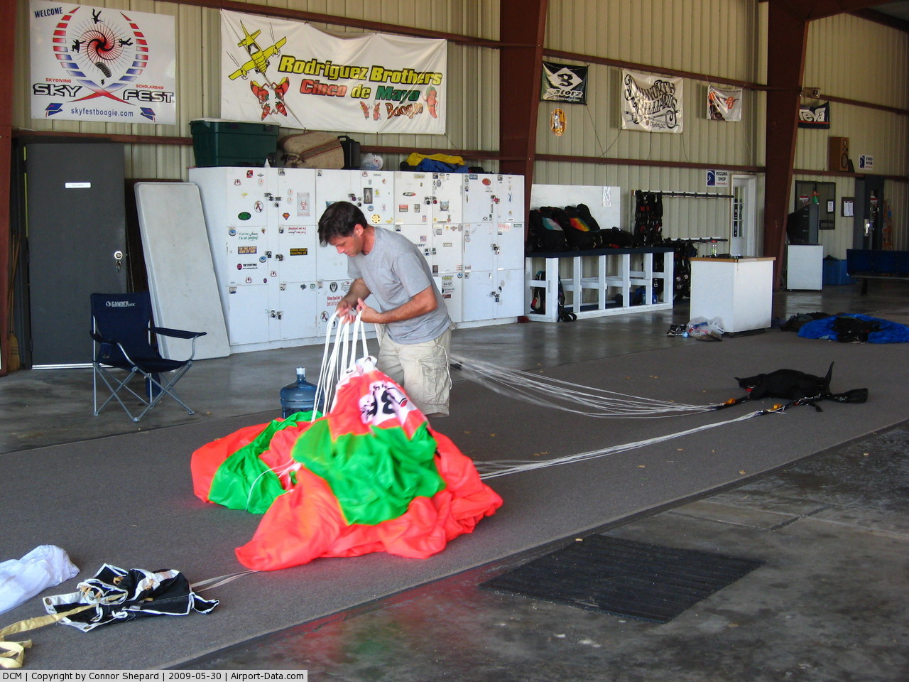
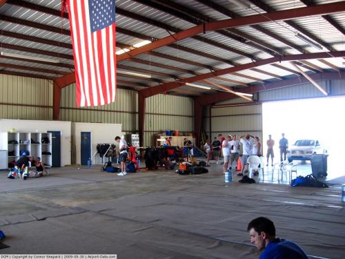
(Click on the photo to enlarge) |
 |
(Click on the photo to enlarge) |
 |
(Click on the photo to enlarge) |
 |
(Click on the photo to enlarge) |
 |
(Click on the photo to enlarge) |
 |
(Click on the photo to enlarge) |
 |
(Click on the photo to enlarge) |
 |
(Click on the photo to enlarge) |
Location & QuickFacts
| FAA Information Effective: | 2008-09-25 |
| Airport Identifier: | DCM |
| Airport Status: | Operational |
| Longitude/Latitude: | 081-11-44.8000W/34-47-21.6000N
-81.195778/34.789333 (Estimated) |
| Elevation: | 656 ft / 199.95 m (Surveyed) |
| Land: | 1047 acres |
| From nearest city: | 5 nautical miles N of Chester, SC |
| Location: | Chester County, SC |
| Magnetic Variation: | 06W (2000) |
Owner & Manager
| Ownership: | Publicly owned |
| Owner: | County Of Chester |
| Address: | 100 West End St
Chester, SC 29706 |
| Phone number: | 803-385-5133 |
| Manager: | Winston "butch" Church |
| Address: | Po Box 185a, Piper Dr.
Chester, SC 29706 |
| Phone number: | 803-385-6664
FOR FUEL OR ANY SERVICE AFTER HRS. CALL 803/519-7009. |
Airport Operations and Facilities
| Airport Use: | Open to public |
| Wind indicator: | Yes |
| Segmented Circle: | Yes |
| Control Tower: | No |
| Lighting Schedule: | DUSK-DAWN
ACTVT MIRL RY 17/35 AND PAPI RYS 17 & 35 - CTAF. |
| Beacon Color: | Clear-Green (lighted land airport) |
| Landing fee charge: | No |
| Sectional chart: | Atlanta |
| Region: | ASO - Southern |
| Boundary ARTCC: | ZTL - Atlanta |
| Tie-in FSS: | AND - Anderson |
| FSS on Airport: | No |
| FSS Toll Free: | 1-800-WX-BRIEF |
| NOTAMs Facility: | AND (NOTAM-d service avaliable) |
| Federal Agreements: | NGY3 |
Airport Communications
| CTAF: | 122.700 |
| Unicom: | 122.700 |
Airport Services
| Fuel available: | 100LLA |
| Airframe Repair: | NONE |
Runway Information
Runway 05/23
| Dimension: | 4998 x 100 ft / 1523.4 x 30.5 m |
| Surface: | ASPH, Poor Condition
RWY 05/23 SEVERELY AGED AND CRACKED. GRASS BEGINNING TO GROW THROUGH CRACKS. |
| Weight Limit: | Single wheel: 4000 lbs.
Dual wheel: 12000 lbs. |
| |
Runway 05 |
Runway 23 |
| Longitude: | 081-11-58.7600W | 081-11-09.9360W |
| Latitude: | 34-47-03.8840N | 34-47-32.5370N |
| Elevation: | 642.00 ft | 620.00 ft |
| Alignment: | 55 | 127 |
| Traffic Pattern: | Right | Left |
| Markings: | Basic, Poor Condition
MARKINGS FADED. | Basic, Poor Condition
MARKINGS FADED. |
| Obstruction: | 92 ft tree, 1275.0 ft from runway, 217 ft left of centerline, 11:1 slope to clear | 16 ft trees, 230.0 ft from runway, 52 ft left of centerline, 1:1 slope to clear |
|
Runway 17/35
| Dimension: | 5000 x 100 ft / 1524.0 x 30.5 m |
| Surface: | ASPH, Good Condition
RWY 05/23 SEVERELY AGED AND CRACKED. GRASS BEGINNING TO GROW THROUGH CRACKS. |
| Weight Limit: | Single wheel: 30000 lbs.
Dual wheel: 44000 lbs. |
| Edge Lights: | Medium |
| |
Runway 17 |
Runway 35 |
| Longitude: | 081-12-01.4230W | 081-11-49.0030W |
| Latitude: | 34-47-49.0700N | 34-47-00.6940N |
| Elevation: | 656.00 ft | 636.00 ft |
| Alignment: | 127 | 127 |
| Traffic Pattern: | Right | Left |
| Markings: | Non-precision instrument, Good Condition | Non-precision instrument, Good Condition |
| Crossing Height: | 34.00 ft | 33.00 ft |
| VASI: | 2-light PAPI on left side | 2-light PAPI on left side |
| Visual Glide Angle: | 3.10° | 3.00° |
| Obstruction: | 32 ft tree, 771.0 ft from runway, 78 ft left of centerline, 17:1 slope to clear | 51 ft tree, 1378.0 ft from runway, 302 ft right of centerline, 23:1 slope to clear |
|
Radio Navigation Aids
| ID |
Type |
Name |
Ch |
Freq |
Var |
Dist |
| DCM | NDB | Chester | | 220.00 | 06W | 0.3 nm |
| UZ | NDB | Rally | | 227.00 | 05W | 8.3 nm |
| LKR | NDB | Lancaster | | 400.00 | 07W | 17.1 nm |
| UOT | NDB | Union County | | 326.00 | 04W | 22.9 nm |
| GHJ | NDB | Stonia | | 260.00 | 06W | 24.2 nm |
| TWL | NDB | Wesley | | 204.00 | 06W | 26.1 nm |
| FDW | NDB | Winnsboro | | 414.00 | 05W | 28.8 nm |
| SLP | NDB | First River | | 417.00 | 06W | 34.2 nm |
| EOE | NDB | Enoree | | 278.00 | 05W | 36.1 nm |
| FRT | NDB | Fairmont | | 248.00 | 05W | 39.5 nm |
| LUX | NDB | Laurens | | 307.00 | 04W | 40.9 nm |
| PYG | NDB | Pageland | | 270.00 | 06W | 42.4 nm |
| CDN | NDB | Camden | | 263.00 | 05W | 43.7 nm |
| IZN | NDB | Lincolnton | | 432.00 | 06W | 45.3 nm |
| CLT | VOR/DME | Charlotte | 097X | 115.00 | 05W | 26.9 nm |
| CTF | VOR/DME | Chesterfield | 019X | 108.20 | 03W | 46.3 nm |
| FML | VORTAC | Fort Mill | 071X | 112.40 | 02W | 16.9 nm |
| SPA | VORTAC | Spartanburg | 104X | 115.70 | 02W | 38.9 nm |
| CLT | VOT | Charlotte | | 112.00 | | 28.6 nm |
Remarks
Images and information placed above are from
http://www.airport-data.com/airport/DCM/
We thank them for the data!
|
|