|
|
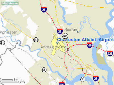
Charleston Afb/intl Airport |
Charleston International Airport
Charleston Air Force Base |
| IATA: CHS – ICAO: KCHS – FAA LID: CHS
Location of the Charleston International Airport
|
| Summary |
| Airport type |
Public / Military |
| Operator |
Charleston County Aviation Authority / U.S. Air Force |
| Location |
North Charleston, South Carolina |
| Elevation AMSL |
46 ft / 14 m |
| Coordinates |
32°53′55″N 080°02′26″W / 32.89861°N 80.04056°W / 32.89861; -80.04056 |
| Runways |
| Direction |
Length |
Surface |
| ft |
m |
| 3/21 |
7,004 |
2,135 |
Asphalt |
| 15/33 |
9,001 |
2,744 |
Concrete |
| Statistics (2009) |
| Aircraft operations |
98,431 |
| Based aircraft |
40 |
| Source: Federal Aviation Administration |
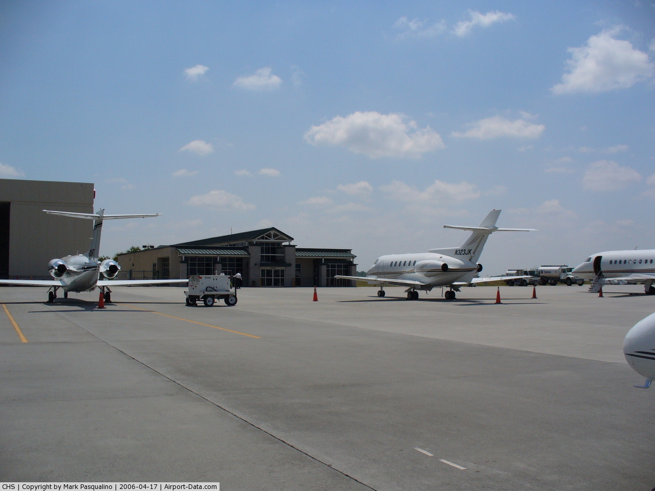
Charleston International Airport (IATA: CHS, ICAO: KCHS, FAA LID: CHS) is a joint civil-military airport located in the city of North Charleston, Charleston County, South Carolina, USA. The airport serves the entire South Carolina Lowcountry. The airport has two runways and is operated under a joint-use agreement with Charleston Air Force Base. It is South Carolina's busiest airport with 124 flights or more daily. In 2009, the airport served 1,096,605 passengers. Facilities and aircraft
Charleston International Airport and Charleston AFB cover an area of 2,060 acres (834 ha) which contains two runways: 15/33, measuring 9,001 x 200 ft (2,744 x 61 m) and 3/21 measuring 7,004 x 150 ft (2,135 x 46 m).
For the 12-month period ending January 31, 2007, the airport had 110,274 aircraft operations, an average of 302 per day: 30% general aviation, 30% air taxi, 25% military and 15% scheduled commercial. At that time there were 40 aircraft based at this airport: 25% single-engine, 45% multi-engine, 20% jet, 10% helicopter.
The handicapped will need to use an elevator to access the ramp area installed when the airport was opened.
Airlines and destinations
All passengers check in at the main terminal, but flights depart from 2 different concourses which are together part of the same building. Gate B5, reserved for international flights, is not currently in use.
In 2010, Southwest Airlines announced its intention to begin service to the Charleston International Airport by early 2011, though did not immediately release destinations. In recent years, the airport has had non-stop service to Cleveland, Fort Lauderdale and Orlando.
| Airlines |
Destinations |
Concourse |
| American Eagle |
Dallas/Fort Worth, Miami |
B |
| Continental Express operated by ExpressJet Airlines |
Houston-Intercontinental, Newark |
B |
| Delta Air Lines |
Atlanta |
A |
| Delta Connection operated by Atlantic Southeast Airlines |
Atlanta |
A |
| Delta Connection operated by Comair |
Boston [seasonal], Cincinnati/Northern Kentucky, New York-LaGuardia |
A |
| Delta Connection operated by Pinnacle Airlines |
Atlanta, Detroit |
A |
| US Airways |
Charlotte |
B |
| US Airways Express operated by Air Wisconsin |
New York-LaGuardia, Philadelphia, Washington-Reagan |
B |
| US Airways Express operated by Chautauqua Airlines |
New York-LaGuardia |
B |
| US Airways Express operated by Piedmont Airlines |
Charlotte |
B |
| US Airways Express operated by PSA Airlines |
Charlotte, New York-LaGuardia, Philadelphia |
B |
| US Airways Express operated by Republic Airlines |
Charlotte, Philadelphia, Washington-Reagan |
B |
| United Express operated by Mesa Airlines |
Chicago-O'Hare, Washington-Dulles |
A |
| United Express operated by Trans States Airlines |
Washington-Dulles |
A |
The above content comes from Wikipedia and is published under free licenses – click here to read more.
 |
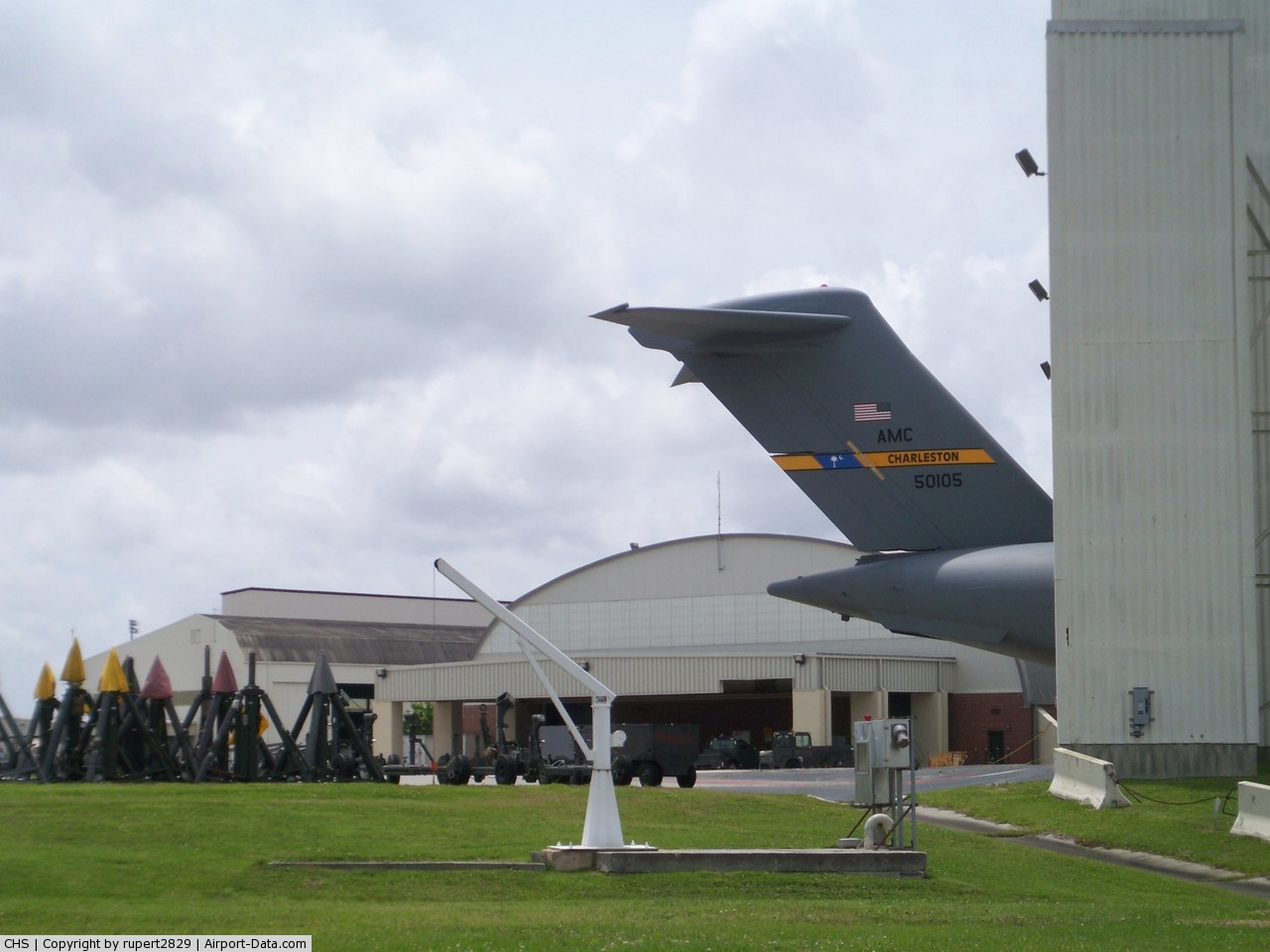
(Click on the photo to enlarge) |
 |
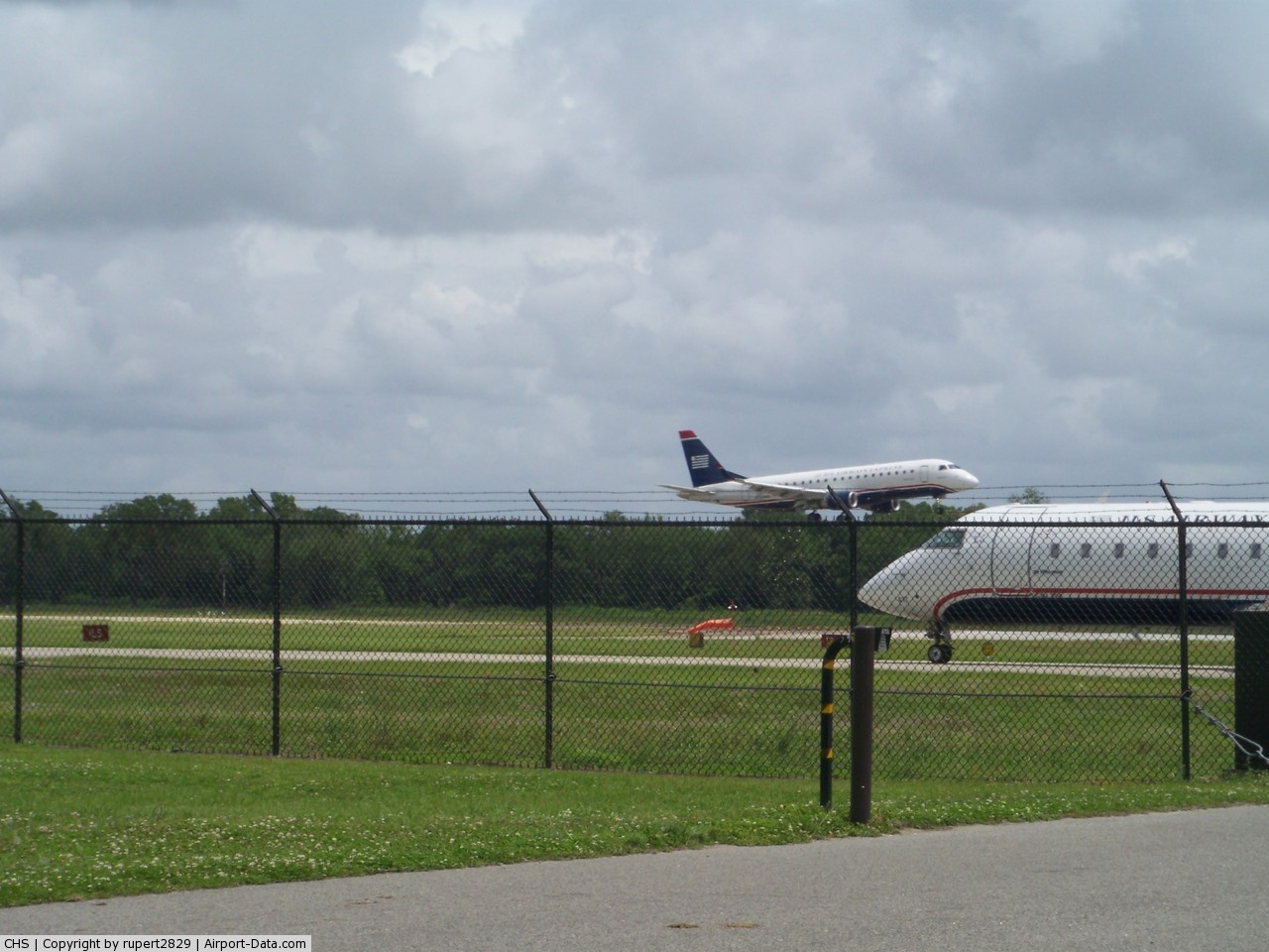
(Click on the photo to enlarge) |
 |
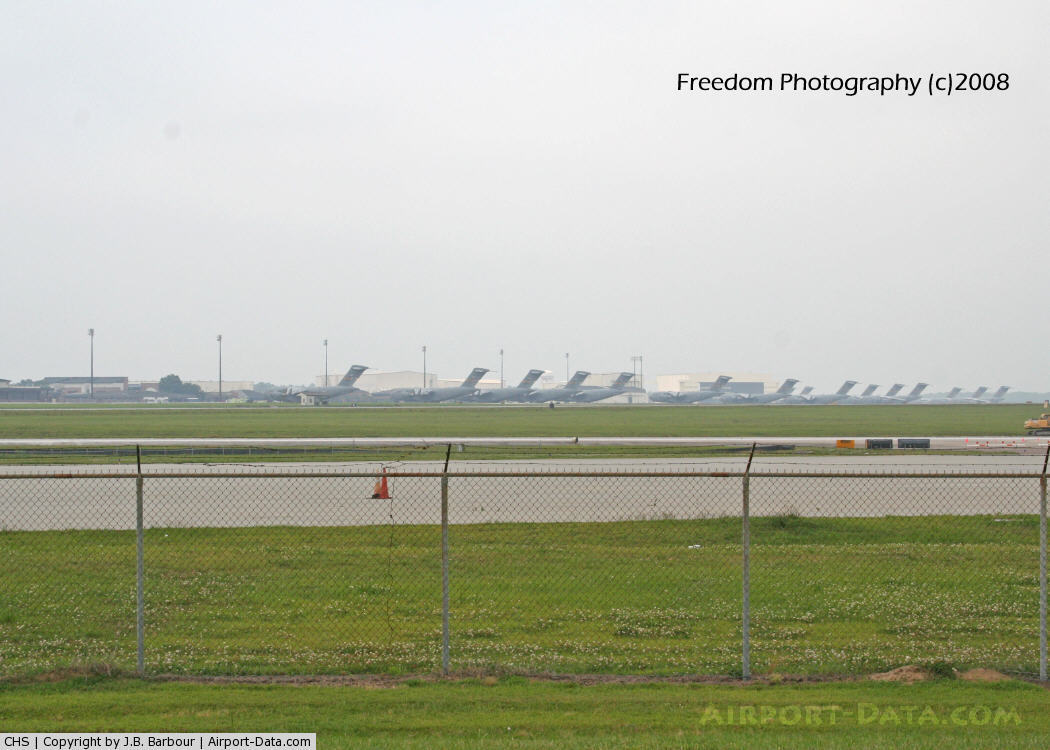
(Click on the photo to enlarge) |
 |
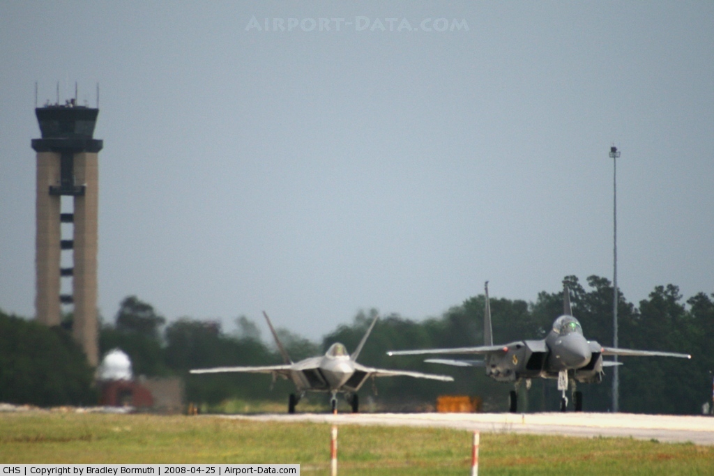
(Click on the photo to enlarge) |
 |
(Click on the photo to enlarge) |
 |
(Click on the photo to enlarge) |
 |
(Click on the photo to enlarge) |
Location & QuickFacts
| FAA Information Effective: | 2008-09-25 |
| Airport Identifier: | CHS |
| Airport Status: | Operational |
| Longitude/Latitude: | 080-02-25.9000W/32-53-55.1000N
-80.040528/32.898639 (Estimated) |
| Elevation: | 46 ft / 14.02 m (Estimated) |
| Land: | 2060 acres |
| From nearest city: | 9 nautical miles NW of Charleston, SC |
| Location: | Charleston County, SC |
| Magnetic Variation: | 05W (1985) |
Owner & Manager
| Ownership: | Air Force owned |
| Owner: | Usaf
THIS IS A SHARED-USE AIRPORT. THE USAF OWNS AND OPERATES ALL RUNWAYS AND THE MAJORITY OF THE TAXIWAYS. THE CHARLESTON COUNTY AVIATION AUTHORITY OPERATES THE CIVILIAN TERMINAL AND ASSOCIATED TAXIWAYS. |
| Address: | 437abg/otm
Charleston Afb, SC 29404 |
| Phone number: | 843-767-7010 |
| Manager: | Susan Stevens, Arpt Director
SUSAN STEVENS IS THE DIRECTOR OF AIRPORTS FOR THE CHARLESTON COUNTY AVIATIONS AUTHORITY. |
| Address: | 5500 Intl Blvd #101
Charleston, SC 29418 |
| Phone number: | 843-767-7010 |
Airport Operations and Facilities
| Airport Use: | Open to public |
| Wind indicator: | Yes |
| Segmented Circle: | No |
| Control Tower: | Yes |
| Lighting Schedule: | DUSK-DAWN |
| Beacon Color: | Clear-Green (lighted land airport) |
| Landing fee charge: | No |
| Sectional chart: | Charlotte |
| Region: | ASO - Southern |
| Boundary ARTCC: | ZJX - Jacksonville |
| Tie-in FSS: | AND - Anderson
FSS-ANDERSON AND-NOTAM AND |
| FSS on Airport: | No |
| FSS Toll Free: | 1-800-WX-BRIEF |
| NOTAMs Facility: | CHS (NOTAM-d service avaliable) |
| Certification type/date: | I C S 01/2006 |
| Federal Agreements: | NGPY3 |
Airport Communications
Airport Services
| Fuel available: | 100 A1+ |
| Airframe Repair: | MAJOR |
| Power Plant Repair: | MAJOR |
| Bottled Oxygen: | NONE |
| Bulk Oxygen: | HIGH |
Runway Information
Runway 03/21
| Dimension: | 7004 x 150 ft / 2134.8 x 45.7 m |
| Surface: | ASPH, Good Condition |
| Pavement Class: | 76 /F/C/W/T |
| Weight Limit: | Single wheel: 125000 lbs.
Dual wheel: 275000 lbs.
Dual tandem wheel: 350000 lbs.
Dual dual tandem wheel: 775000 lbs. |
| Edge Lights: | High
LGTS FOR BOTH RWYS ARE AF SPEC TYPE. |
| |
Runway 03 |
Runway 21 |
| Longitude: | 080-02-44.1698W | 080-02-10.2315W |
| Latitude: | 32-53-05.2664N | 32-54-08.3677N |
| Elevation: | 20.00 ft | 40.00 ft |
| Alignment: | 24 | 127 |
| Traffic Pattern: | Left | Left |
| Markings: | Precision instrument, Good Condition | Precision instrument, Good Condition |
| Crossing Height: | 50.00 ft | 50.00 ft |
| VASI: | 4-light PAPI on left side | 4-light PAPI on left side |
| Visual Glide Angle: | 3.00° | 3.00° |
| Runway End Identifier: | No | Yes |
| Centerline Lights: | No | No |
| Touchdown Lights: | No | No |
|
Runway 15/33
| Dimension: | 9001 x 200 ft / 2743.5 x 61.0 m |
| Surface: | CONC, Good Condition |
| Surface Treatment: | Saw-cut or plastic Grooved |
| Pavement Class: | 55 /R/A/W/T |
| Weight Limit: | Single wheel: 125000 lbs.
Dual wheel: 275000 lbs.
Dual tandem wheel: 350000 lbs.
Dual dual tandem wheel: 775000 lbs. |
| Edge Lights: | High
LGTS FOR BOTH RWYS ARE AF SPEC TYPE. |
| |
Runway 15 |
Runway 33 |
| Longitude: | 080-02-53.2282W | 080-01-56.3790W |
| Latitude: | 32-54-46.8812N | 32-53-31.8434N |
| Elevation: | 43.00 ft | 38.00 ft |
| Alignment: | 127 | 127 |
| ILS Type: | ILS
| ILS
|
| Traffic Pattern: | Left | Left |
| Markings: | Precision instrument, Good Condition | Precision instrument, Good Condition |
| Arresting: | BAK12 | BAK12 |
| Crossing Height: | 0.00 ft | 46.00 ft |
| VASI: | 4-light PAPI on left side | 4-light PAPI on left side |
| Visual Glide Angle: | 3.00° | 3.00° |
| RVR Equipment: | touchdown, midfield, rollout | touchdown, midfield, rollout |
| Approach lights: | ALSF2 | MALSR |
| Runway End Identifier: | No | No |
| Centerline Lights: | Yes | Yes |
| Touchdown Lights: | Yes | No |
|
Radio Navigation Aids
| ID |
Type |
Name |
Ch |
Freq |
Var |
Dist |
| CH | NDB | Ashly | | 329.00 | 05W | 5.5 nm |
| JZI | NDB | Johns Island | | 283.00 | 05W | 12.0 nm |
| DYB | NDB | Dorchester County | | 365.00 | 05W | 15.4 nm |
| MKS | NDB | Moncks Corner | | 354.00 | 05W | 17.6 nm |
| RBW | NDB | Walterboro | | 221.00 | 05W | 30.3 nm |
| PHH | NDB | Andrews | | 255.00 | 06W | 42.1 nm |
| MNI | NDB | Manning | | 381.00 | 06W | 42.3 nm |
| GGE | NDB | Georgetown | | 242.00 | 06W | 43.9 nm |
| NBC | TACAN | Beaufort | 042X | | 05W | 42.5 nm |
| CHS | VORTAC | Charleston | 082X | 113.50 | 05W | 0.3 nm |
| VAN | VORTAC | Vance | 041X | 110.40 | 06W | 40.3 nm |
| CHS | VOT | Charleston | | 111.00 | | 0.4 nm |
Remarks
- PONDING MAY OCCUR ON RY 03/21 SOUTHWEST OF RY 15/33 DURG PERIODS OF RAIN.
- RY 15/33, RAISED APCH LGTS IN OVERRUNS.
- RY 03/21, NO OVERRUNS.
- PARKING ON TERMINAL APRON RESTRICTED TO COMMERCIAL AIR CARRIER AND AIRCRAFT FOR CUSTOMS CLEARANCE BY PRIOR ARRANGEMENT ONLY.
- LIQUID OXYGEN SERVING AVBL TO MILITARY.
- CAUTION: TWY DELTA WING TIP CLNC LINE 161 FT FROM TWY CENTERLINE. RWY 15-33 NO RWY END LGTS. RWY 15-33 RAISED THLDS, 12 INCHES. DEP RWY 03/APCH RWY 21 TRAIN CARS (20' AGL) FREQUENTLY PARKED 1200 FT FROM RWY END.
- A-GEAR: RWY 15-33 BAK-12A RQR 1 HR PN.
- JASU: 8(MD-3M) 2(MA-1A) (M32A-60) (M32A-60A)
- FUEL: A, A+, J8 AVBL AT C843-746-7600 OR C843-414-9200 (NC-100LL).
- FLUID: SOAP - ROUTINE SOAP SAMPLES NOT AVBL; SP PRESAIR LHOX LOX
- OIL: NON-DETERGENT OIL NOT AVBL FOR PISTON ACFT. O-128-133-148(MIL)
- SEE FLIP AP/1 SUPPLEMENTARY ARPT RMK.
- RSTD: ALL INBD VIP CODE 7 OR HI, PAX, CARGO ACFT MUST CTC PALMETTO OPS NO LATER THAN 30 MIN PRIOR TO LDG.
- RSTD: AMC ACFT OPR RSTD DUR BIRD WATCH COND MODERATE (TKOF OR LDG PERMS ONLY WHEN DEP/ARR RTE AVOID IDENT BIRD ACT, NO LCL IFR/VFR TFC PAT ACT) AND SEVERE (TKOF AND LDG PROH WO OG/CC APVL), CTC PALMETTO OPS FOR CURRENT BIRD WATCH COND.
- NO STUDENT SOLO TOUCH AND GO LANDING ALLOWED.
- RSTD: ALL ACFT MUST CTC PALMETTO OPS PRIOR TO ENTERING MIL RAMP FOR PRK ASGN. AV8 ACFT OPR RSTD TO RWY 15-33. NO 180‘ TURNS ON RWY, EXC SMALL ACFT.
- RSTD: NON-AMC AIRCREWS REQ RON SVC CTC COMD POST (PALMETTO OPS) DSN 673-8400, C843-963-8400 PRIOR ARR. TRML APN RSTD TO COML AIR CARRIER AND ACFT FOR CSTMS CLNC BY PPR.
- CAUTION: MIGRATORY BIRD SEASON PHASE II 1-15 APR AND 1 AUG-30 NOV. RWY 15-33 RAISED APCH LGT IN OVRN, RWY 03-21 NO OVRN. WG TIP CLNC LINES ON RAMP TWY 115' FR CNTRLINE.
- CAUTION;TWY D WINGTIP CLNC LINE 161' FR TWY CNTRLINE. RWY 15-33 NO RWY END LGT. RWY 15-33 RAISED THLD LGT 12 INCHES.
- TFC PAT: RECTANGULAR 1200', OVERHEAD 1700', LGT ACFT 700', C5A 2000'.
- MISC: BASE OPS DSN 673-3024, C843-963-3024. IF CIV SIDE OF ARPT IS FINAL DESTN, ACFT COMDR WILL SO INDICATE ON DD 175. DANGEROUS CARGO ACFT CTC PTD PRIM, PALMETTO OPS SECD. ALL AMC MSN ACFT CTC PALMETTO OPS WHEN WITHIN RDO RNG.
- MISC: REQ WX FCST FOR MIL OPR USING THE ICAO IDENT KIGC. MIL WX ADVSY/WARNING AVBL O/R VIA METRO. LLWAS. MIL WX CLSD HOL. WX BRIEFINGS FOR TRAN AIRCREWS BYD NML OPR HR AVBL VIA 28 OWS AT SHAW AFB DSN 965-0940/41.
- AV8 ACFT OPNS RSTRD TO RY 15/33, NO 180 DEG TURNS ON RY, EXCEPT SMALL ACFT.
- MISC: MIL AERO CLUB ACFT CONTACT CHS GROUND CONTROL PRIOR TO TAXI.
- SERVICE-LGT: AIRFIELD BEACON NOT VISIBLE FROM NW.
- MISC: TEMP STORAGE OF CLASSIFIED MATERIALS: UP TO SECRET AT BASE OPS AND TOP SECRET AT COMMAND POST.
- RSTD: REQUEST C-5 AND B-747 ACFT TAXI WITH OUTBOARD ENGINES AT IDLE.
- CAUTION: RWY 03 APCH, STROBE LIGHTS OUT.
- SERVICE: KCHS MIL PROVIDES NO SECURITY AND NO ACFT SERVICES AT FBO'S AMD COMMERCIAL TERMINAL.
- SERVICE: A-GEAR - RWY 15-33 BAK 12A RQR 1 HR PN.
- RSTD: RWY 03-21 CLSD 1330-2200Z++ MTHLY 2ND THU. RWY 15-33 CLSD LAST THU OF EA MONTH 1330-2200Z++.
- CAUTION: TWY D WINGTIP CLNC LINE 161 FT FR TWY CNTRLINE. RWY 15-33 NO RWY END LGT. RWY 15-33 1 FT RAISED THLD LGT.
- CAUTION: RWY 15-33 1000 FT OVERRUNS HAS FRANGIBLE RAISED APCH LIGHTS.
- RAILROAD CARS FREQUENTLY PARKED AT APCH END OF RY 21. RAILROAD CARS 25 FT AGL AND 1000 FT FM RY 21 THLD. GRVL PILES, UP TO 50 FT AGL, LCTD 1000 FT FM RY 21 THLD.
- PPR FOR PARKING OF GENERAL AVIATION ACFT ON TERMINAL RAMP CTC 843-767-1100.
- INTENSIVE HEAVY MIL JETS & OTHER MISC ACFT EXECUTING NUMEROUS CARGO & PERSONNEL DROPS, HIGH SPEED LOW-LEVEL FORMATION FLTS & MISC AIR-TO-GROUND OPNS.
Images and information placed above are from
http://www.airport-data.com/airport/CHS/
We thank them for the data!
| General Info
|
| Country |
United States
|
| State |
SOUTH CAROLINA
|
| FAA ID |
CHS
|
| Latitude |
32-53-55.100N
|
| Longitude |
080-02-25.900W
|
| Elevation |
45 feet
|
| Near City |
CHARLESTON
|
We don't guarantee the information is fresh and accurate. The data may
be wrong or outdated.
For more up-to-date information please refer to other sources.
|
|