|
|
 |
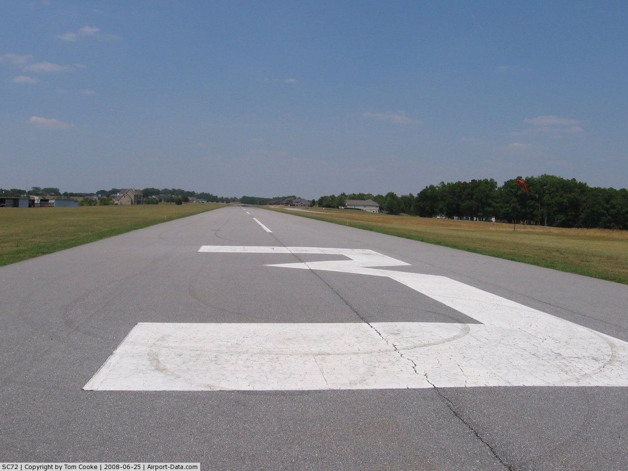
(Click on the photo to enlarge) |
Location & QuickFacts
| FAA Information Effective: | 2008-09-25 |
| Airport Identifier: | SC72 |
| Airport Status: | Operational |
| Longitude/Latitude: | 082-08-53.3950W/34-49-22.4350N
-82.148165/34.822899 (Estimated) |
| Elevation: | 850 ft / 259.08 m (Estimated) |
| Land: | 34 acres |
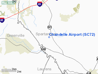
| From nearest city: | 10 nautical miles SE of Greer, SC |
| Location: | Spartanburg County, SC |
| Magnetic Variation: | 04W (1985) |
Owner & Manager
| Ownership: | Privately owned |
| Owner: | Chandelle Runway, Llc |
| Address: | 400 Air Park Drive
Greer, SC 29651 |
| Phone number: | 864-877-2126 |
| Manager: | John R Stewart Jr |
| Address: | 235 Chandelle Ridge Drive
Woodruff, SC 29388 |
| Phone number: | 864-877-2126 |
Airport Operations and Facilities
| Airport Use: | Private |
| Wind indicator: | Yes |
| Segmented Circle: | No |
| Control Tower: | No |
| Sectional chart: | Atlanta |
| Region: | ASO - Southern |
| Boundary ARTCC: | ZTL - Atlanta |
| Tie-in FSS: | AND - Anderson |
| FSS Toll Free: | 1-800-WX-BRIEF |
Airport Communications
Runway Information
Runway 03/21
| Dimension: | 3700 x 50 ft / 1127.8 x 15.2 m |
| Surface: | ASPH, |
| |
Runway 03 |
Runway 21 |
| Traffic Pattern: | Left | Left |
|
Radio Navigation Aids
| ID |
Type |
Name |
Ch |
Freq |
Var |
Dist |
| FRT | NDB | Fairmont | | 248.00 | 05W | 9.4 nm |
| GY | NDB | Dyana | | 338.00 | 03W | 16.6 nm |
| LUX | NDB | Laurens | | 307.00 | 04W | 21.3 nm |
| UOT | NDB | Union County | | 326.00 | 04W | 26.3 nm |
| LQK | NDB | Lake Keowee | | 408.00 | 04W | 27.4 nm |
| BRA | NDB | Broad River | | 379.00 | 04W | 31.4 nm |
| RFE | NDB | Rutherford | | 344.00 | 05W | 33.0 nm |
| AND | NDB | Anderson County | | 230.00 | 04W | 33.9 nm |
| GIW | NDB | Coronaca | | 239.00 | 04W | 34.3 nm |
| SLP | NDB | First River | | 417.00 | 06W | 37.4 nm |
| CEU | NDB | Clemson | | 257.00 | 05W | 37.6 nm |
| EOE | NDB | Enoree | | 278.00 | 05W | 39.8 nm |
| DCM | NDB | Chester | | 220.00 | 06W | 46.8 nm |
| SPA | VORTAC | Spartanburg | 104X | 115.70 | 02W | 16.7 nm |
| GRD | VORTAC | Greenwood | 102X | 115.50 | 01W | 34.3 nm |
| SUG | VORTAC | Sugarloaf Mountain | 059X | 112.20 | 02W | 35.6 nm |
| ELW | VORTAC | Electric City | 023X | 108.60 | 00E | 39.8 nm |
Remarks
Images and information placed above are from
http://www.airport-data.com/airport/SC72/
We thank them for the data!
| General Info
|
| Country |
United States
|
| State |
SOUTH CAROLINA
|
| FAA ID |
SC72
|
| Latitude |
34-49-22.435N
|
| Longitude |
082-08-53.395W
|
| Elevation |
850 feet
|
| Near City |
GREER
|
We don't guarantee the information is fresh and accurate. The data may
be wrong or outdated.
For more up-to-date information please refer to other sources.
|
|