|
|
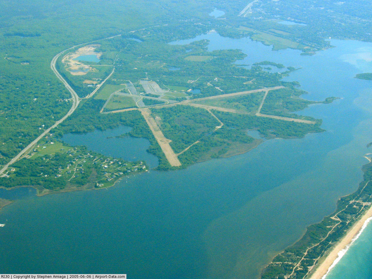
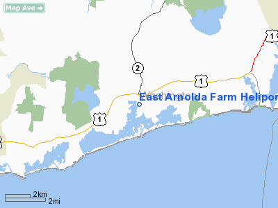
East Arnolda Farm Heliport |
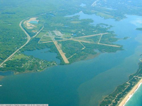 |
(Click on the photo to enlarge) |
Location & QuickFacts
| FAA Information Effective: | 2008-09-25 |
| Airport Identifier: | RI30 |
| Airport Status: | Operational |
| Longitude/Latitude: | 071-38-28.2240W/41-22-43.3640N
-71.641173/41.378712 (Estimated) |
| Elevation: | 30 ft / 9.14 m (Estimated) |
| Land: | 0 acres |
| From nearest city: | 3 nautical miles NW of Charlestown, RI |
| Location: | Washington County, RI |
| Magnetic Variation: | 15W (1995) |
Owner & Manager
| Ownership: | Privately owned |
| Owner: | Boze Arnold |
| Address: | 68 Gray's Point Rd
Charlestown, RI 02813 |
| Phone number: | 401-364-1032 |
| Manager: | Boze Arnold |
| Address: | 68 Gray's Point Rd
Charlestown, RI 02813 |
| Phone number: | 401-364-1032 |
Airport Operations and Facilities
| Airport Use: | Private |
| Segmented Circle: | No |
| Control Tower: | No |
| Region: | ANE - New England |
| Boundary ARTCC: | ZBW - Boston |
| Tie-in FSS: | BDR - Bridgeport |
| FSS Toll Free: | 1-800-WX-BRIEF |
Runway Information
Helipad H1
| Dimension: | 100 x 200 ft / 30.5 x 61.0 m |
| Surface: | TURF, |
| |
Runway H1 |
Runway |
| Traffic Pattern: | Left | Left |
|
Radio Navigation Aids
| ID |
Type |
Name |
Ch |
Freq |
Var |
Dist |
| SFZ | NDB | Central | | 241.00 | 15W | 33.2 nm |
| TAN | NDB | Taunton | | 227.00 | 16W | 41.0 nm |
| IHM | NDB | Mansfield | | 220.00 | 16W | 42.5 nm |
| HF | NDB | Lomis | | 244.00 | 15W | 46.9 nm |
| FFF | NDB | Plymouth | | 257.00 | 16W | 47.0 nm |
| SEY | VOR/DME | Sandy Point | 125X | 117.80 | 15W | 13.0 nm |
| GON | VOR/DME | Groton | 45Y | 110.85 | 14W | 18.8 nm |
| ORW | VOR/DME | Norwich | 037X | 110.00 | 14W | 19.3 nm |
| PUT | VOR/DME | Putnam | 121X | 117.40 | 14W | 35.8 nm |
| HFD | VOR/DME | Hartford | 096X | 114.90 | 13W | 43.7 nm |
| MVY | VOR/DME | Marthas Vineyard | 092X | 114.50 | 15W | 46.4 nm |
| MAD | VOR/DME | Madison | 041X | 110.40 | 13W | 47.6 nm |
| PVD | VORTAC | Providence | 103X | 115.60 | 14W | 22.9 nm |
| HTO | VORTAC | Hampton | 083X | 113.60 | 13W | 41.2 nm |
| GON | VOT | Groton | | 110.25 | | 18.8 nm |
| PVD | VOT | Providence | | 108.20 | | 22.9 nm |
Remarks
- PRVDD VFR & ALL USERS ARE NOTIFIED & COMPLY WITH THIS CONDITON.
Images and information placed above are from
http://www.airport-data.com/airport/RI30/
We thank them for the data!
| General Info
|
| Country |
United States
|
| State |
RHODE ISLAND
|
| FAA ID |
RI30
|
| Latitude |
41-22-43.364N
|
| Longitude |
071-38-28.224W
|
| Elevation |
30 feet
|
| Near City |
CHARLESTOWN
|
We don't guarantee the information is fresh and accurate. The data may
be wrong or outdated.
For more up-to-date information please refer to other sources.
|
|