|
|
William T. Piper Memorial Airport |
| William T. Piper Memorial Airport |
| IATA: LHV – ICAO: KLHV – FAA LID: LHV |
| Summary |
| Airport type |
Public |
| Owner |
City of Lock Haven |
| Location |
Lock Haven, Pennsylvania |
| Elevation AMSL |
556 ft / 169.5 m |
| Coordinates |
41°08′08″N 077°25′20″W / 41.13556°N 77.42222°W / 41.13556; -77.42222 |
| Runways |
| Direction |
Length |
Surface |
| ft |
m |
| 9L/27R |
3,806 |
1,160 |
Asphalt |
| 9R/27L |
2,200 |
671 |
Turf |
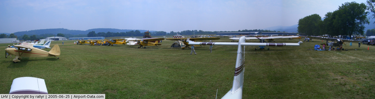
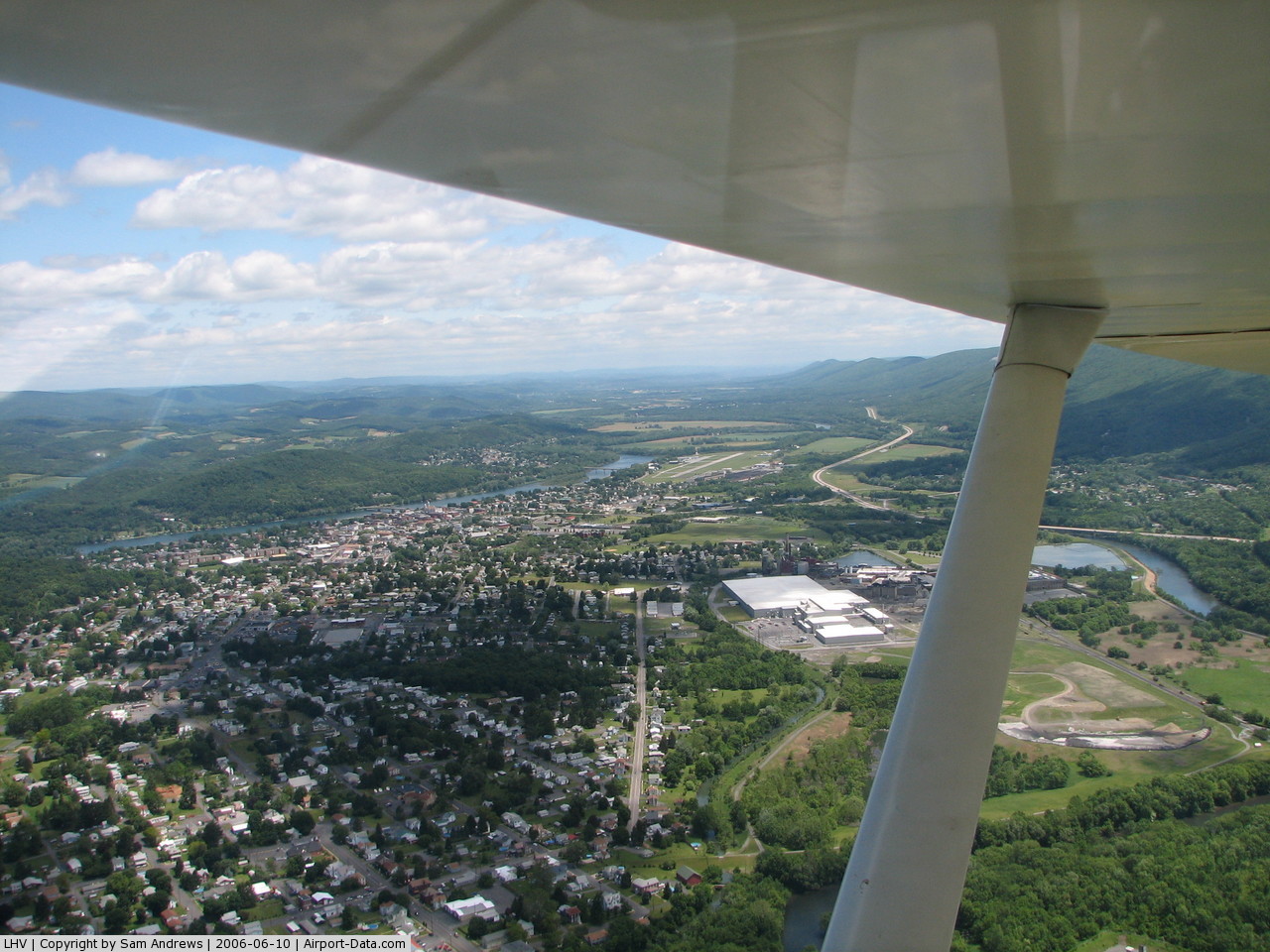
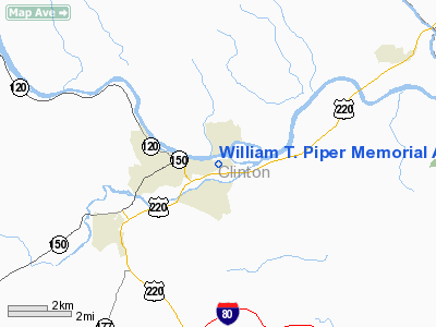
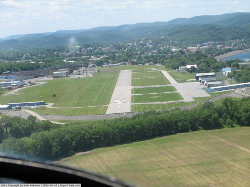
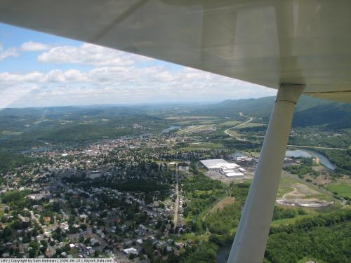
William T. Piper Memorial Airport (IATA: LHV, ICAO: KLHV, FAA LID: LHV) is a public general aviation airport located two miles (3 km) east of the central business district of Lock Haven, a city in Clinton County, Pennsylvania, USA.
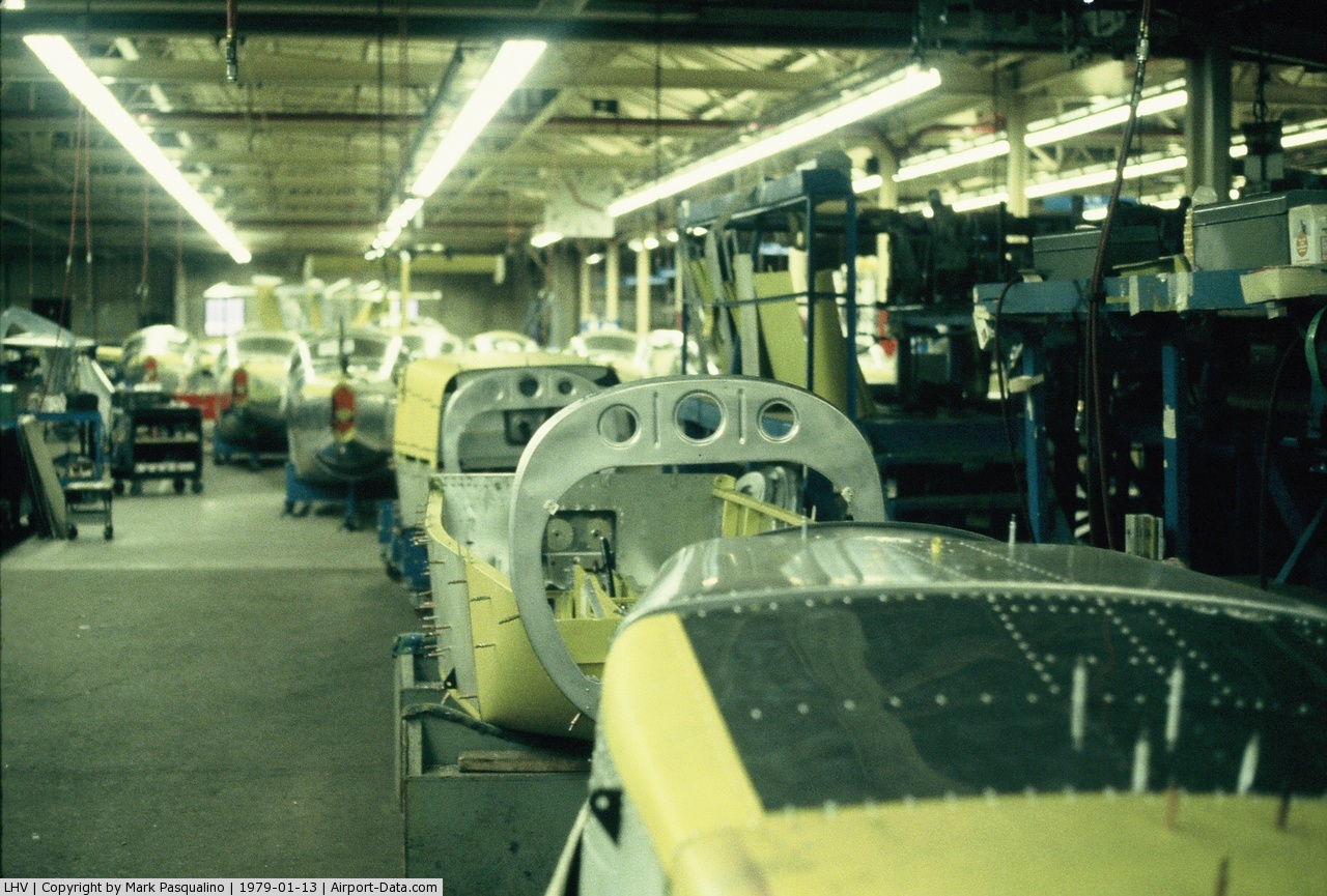
Named for William T. Piper, the airport is located at the foot of the Bald Eagle Mountain ridge, between the West Branch Susquehanna River and its tributary, Bald Eagle Creek. It covers 112 acres (45 ha), has two runways and is operated by the City of Lock Haven.
The above content comes from Wikipedia and is published under free licenses – click here to read more.
 |
(Click on the photo to enlarge) |
 |
(Click on the photo to enlarge) |
 |
(Click on the photo to enlarge) |
 |
(Click on the photo to enlarge) |
 |
(Click on the photo to enlarge) |
 |
(Click on the photo to enlarge) |
Location & QuickFacts
| FAA Information Effective: | 2008-09-25 |
| Airport Identifier: | LHV |
| Airport Status: | Operational |
| Longitude/Latitude: | 077-25-20.3100W/41-08-08.3000N
-77.422308/41.135639 (Estimated) |
| Elevation: | 556 ft / 169.47 m (Surveyed) |
| Land: | 112 acres |
| From nearest city: | 2 nautical miles E of Lock Haven, PA |
| Location: | Clinton County, PA |
| Magnetic Variation: | 11W (2005) |
Owner & Manager
| Ownership: | Publicly owned |
| Owner: | City Of Lock Haven |
| Address: | 20 East Church Street
Lock Haven, PA 17745 |
| Phone number: | 570-893-5610 |
| Manager: | Edward Watson |
| Address: | 353 Proctor Street
Lock Haven, PA 17745 |
| Phone number: | 570-748-5123 |
Airport Operations and Facilities
| Airport Use: | Open to public |
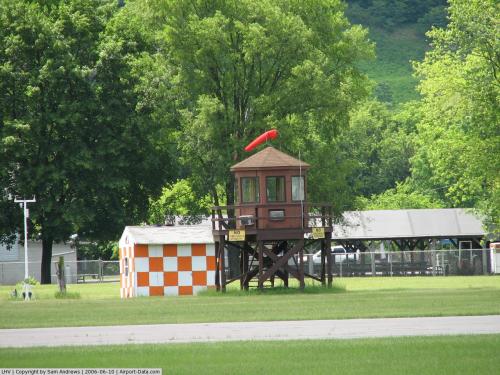
| Wind indicator: | Yes |
| Segmented Circle: | Yes |
| Control Tower: | No |
| Lighting Schedule: | DUSK-DAWN
ACTVT MIRL RY 09L/27R; PAPI RY 09L & RY 27R - CTAF. |
| Beacon Color: | Clear-Green (lighted land airport) |
| Landing fee charge: | No |
| Sectional chart: | Detroit |
| Region: | AEA - Eastern |
| Boundary ARTCC: | ZNY - New York |
| Tie-in FSS: | IPT - Williamsport |
| FSS on Airport: | No |
| FSS Toll Free: | 1-800-WX-BRIEF |
| NOTAMs Facility: | IPT (NOTAM-d service avaliable) |
| Federal Agreements: | NGY |
Airport Communications
| CTAF: | 122.800 |
| Unicom: | 122.800 |
Airport Services
| Fuel available: | 100LLA
FUEL AVBL AFT HRS BY PRIOR REQUEST; CALL 570-748-9267 OR 570-295-7952 OR 800-224-7511. |
| Airframe Repair: | MAJOR |
| Power Plant Repair: | MAJOR |
| Bottled Oxygen: | NONE |
| Bulk Oxygen: | NONE |
Runway Information
Runway 09L/27R
| Dimension: | 3806 x 100 ft / 1160.1 x 30.5 m |
| Surface: | ASPH, Fair Condition |
| Weight Limit: | Single wheel: 30000 lbs. |
| Edge Lights: | Medium |
| |
Runway 09L |
Runway 27R |
| Longitude: | 077-25-45.1600W | 077-24-55.8400W |
| Latitude: | 41-08-06.9900N | 41-08-12.0100N |
| Elevation: | 556.00 ft | 556.00 ft |
| Alignment: | 82 | 127 |
| Traffic Pattern: | Left | Right |
| Markings: | Basic, Fair Condition | Basic, Fair Condition |
| Crossing Height: | 50.00 ft | 50.00 ft |
| Displaced threshold: | 0.00 ft | 465.00 ft |
| VASI: | 2-light PAPI on left side | 2-light PAPI on left side |
| Visual Glide Angle: | 3.00° | 3.00° |
| Runway End Identifier: | Yes | Yes |
| Obstruction: | 55 ft tree, 1204.0 ft from runway, 190 ft left of centerline, 18:1 slope to clear | 76 ft tree, 1770.0 ft from runway, 215 ft left of centerline, 20:1 slope to clear
A057 RWY 27R APCH SLOPE 20:1 TO DSPLCD THR. |
|
Runway 09R/27L
| Dimension: | 2200 x 100 ft / 670.6 x 30.5 m |
| Surface: | TURF, |
| |
Runway 09R |
Runway 27L |
| Longitude: | 077-25-34.2240W | 077-25-05.7870W |
| Latitude: | 41-08-06.2490N | 41-08-09.1750N |
| Alignment: | 82 | 127 |
| Traffic Pattern: | Left | Right |
| Obstruction: | , 50:1 slope to clear | 78 ft trees, 2074.0 ft from runway, 145 ft left of centerline, 26:1 slope to clear |
|
Radio Navigation Aids
| ID |
Type |
Name |
Ch |
Freq |
Var |
Dist |
| PIX | NDB | Picture Rocks | | 344.00 | 09W | 33.3 nm |
| RV | NDB | Stroh | | 407.00 | 10W | 34.1 nm |
| FQM | VOR/DME | Williamsport | 091X | 114.40 | 09W | 31.7 nm |
| SFK | VOR/DME | Stonyfork | 023X | 108.60 | 08W | 33.6 nm |
| PSB | VORTAC | Philipsburg | 102X | 115.50 | 10W | 29.0 nm |
| SEG | VORTAC | Selinsgrove | 041X | 110.40 | 08W | 32.0 nm |
| ETG | VORTAC | Keating | 107X | 116.00 | 10W | 32.9 nm |
| SLT | VORTAC | Slate Run | 086X | 113.90 | 08W | 33.5 nm |
| MIP | VORTAC | Milton | 029X | 109.20 | 09W | 35.0 nm |
| TON | VORTAC | Tyrone | 096X | 114.90 | 07W | 47.8 nm |
Remarks
- LOCAL WX ON CTAF (3 CLICKS).
- ARPT IN EXISTENCE PRIOR TO RULING MAY 1959.
Images and information placed above are from
http://www.airport-data.com/airport/LHV/
We thank them for the data!
| General Info
|
| Country |
United States
|
| State |
PENNSYLVANIA
|
| FAA ID |
LHV
|
| Latitude |
41-08-10.249N
|
| Longitude |
077-25-13.928W
|
| Elevation |
555 feet
|
| Near City |
LOCK HAVEN
|
We don't guarantee the information is fresh and accurate. The data may
be wrong or outdated.
For more up-to-date information please refer to other sources.
|
|