|
|
| University Park Airport |
| IATA: SCE – ICAO: KUNV – FAA LID: UNV |
| Summary |
| Airport type |
Public |
| Owner |
Pennsylvania State University |
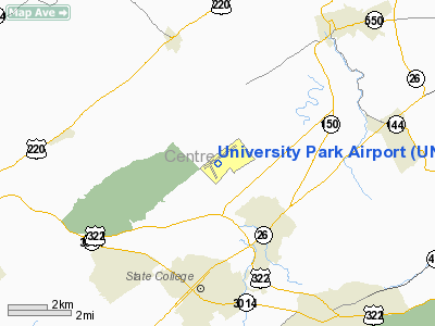
| Location |
State College, Pennsylvania |
| Elevation AMSL |
1,239 ft / 377.6 m |
| Coordinates |
40°50′57″N 77°50′55″W / 40.84917°N 77.84861°W / 40.84917; -77.84861 |
| Runways |
| Direction |
Length |
Surface |
| ft |
m |
| 6/24 |
6,701 |
2,042 |
Asphalt |
University Park Airport (IATA: SCE, ICAO: KUNV, FAA LID: UNV) is a public airport located in Benner Township, Centre County, Pennsylvania. The airport serves the towns of State College and Bellefonte, and the surrounding area. The airport is owned by The Pennsylvania State University, but the terminal building and parking areas are owned and operated by the Centre County Airport Authority. It is served by several regional airlines, connecting to hubs in the northeast and midwest. Services at the airport include a fixed base operator (FBO), fuel, flight planning services, aircraft repair, and hangar rental. Amenities include a snack bar in the terminal building, a pilot lounge, and conference rooms. Taxi and limousine services, and car rentals are also available. History
Starting in the 1950s, private pilots in the area had constructed a small airport on land leased from Penn State, just north of State College. Penn State assumed the lease and assets of the airport in 1972. The Centre County Airport Authority was created to manage the development of the airport. A permanent passenger terminal was built in 1985. A new passenger terminal was completed in 1993, and cargo operations moved to the original terminal building. The airport underwent a runway expansion project in 1997, and the main runway was lengthened to its present length. A new general aviation hangar was built in 2001.
Future plans for the airport include construction of a control tower and an instrument landing system beginning in 2007. Construction on the control tower began on January 8, 2010. University Park Airport is the busiest airport in the U.S. without an on-site air traffic control tower.
Airlines and destinations
 | |
A Nittany Lion statue near the general aviation terminal. |
| Airlines |
Destinations |
| Delta Connection operated by Pinnacle Airlines |
Detroit |
| United Express operated by Colgan Air |
Washington-Dulles |
| US Airways Express operated by Air Wisconsin |
Philadelphia |
| US Airways Express operated by Piedmont Airlines |
Philadelphia |
The above content comes from Wikipedia and is published under free licenses – click here to read more.
 |
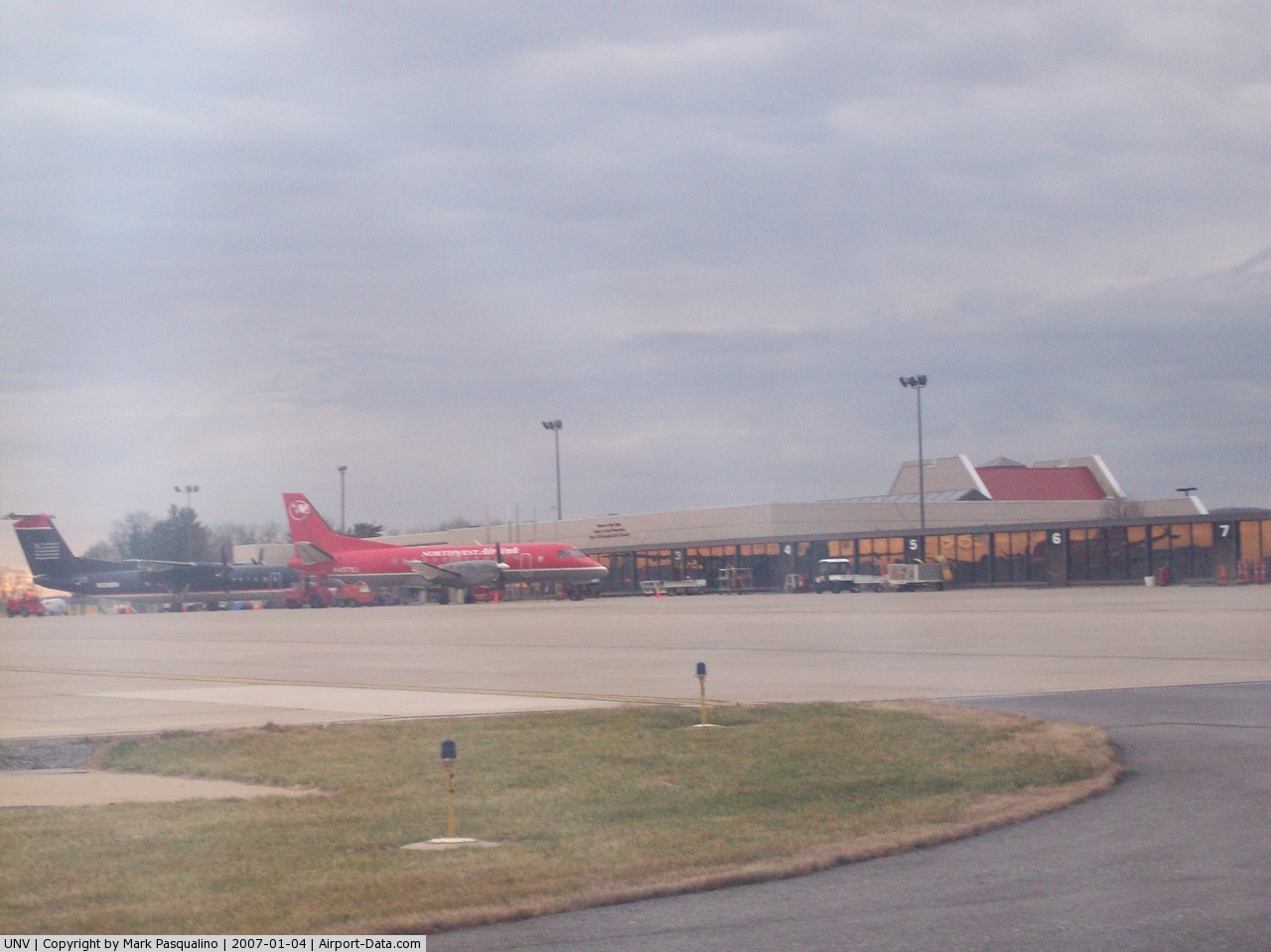
(Click on the photo to enlarge) |
 |
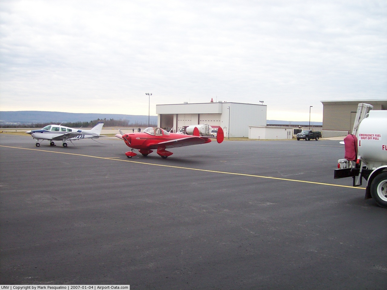
(Click on the photo to enlarge) |
 |
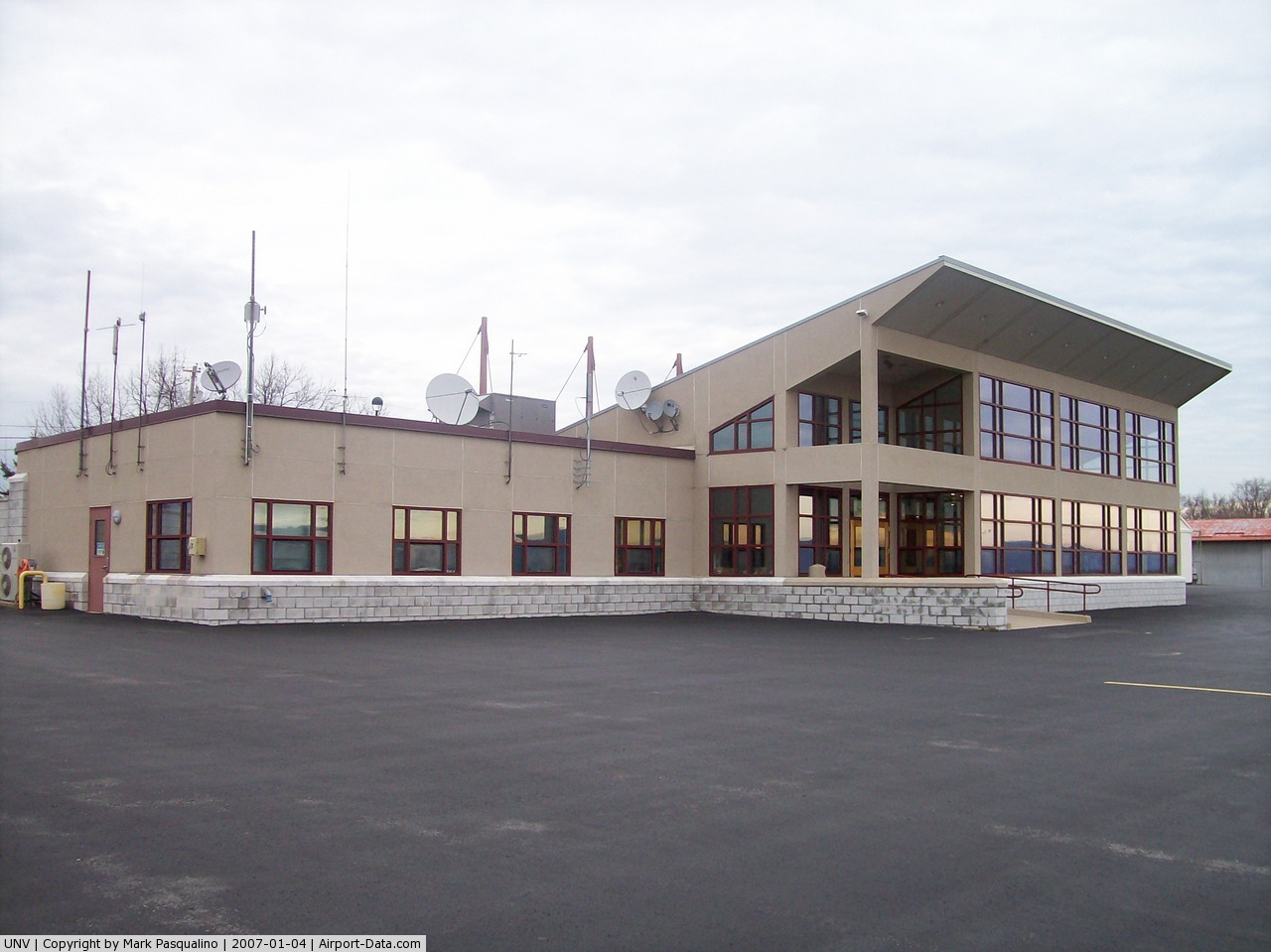
(Click on the photo to enlarge) |
Location & QuickFacts
| FAA Information Effective: | 2008-09-25 |
| Airport Identifier: | UNV |
| Airport Status: | Operational |
| Longitude/Latitude: | 077-50-55.3000W/40-50-57.4000N
-77.848694/40.849278 (Estimated) |
| Elevation: | 1239 ft / 377.65 m (Surveyed) |
| Land: | 1091 acres |
| From nearest city: | 3 nautical miles N of State College, PA |
| Location: | Centre County, PA |
| Magnetic Variation: | 11W (2000) |
Owner & Manager
| Ownership: | Publicly owned |
| Owner: | Penn State University |
| Address: | 2535 Fox Hill Rd
State College, PA 16803 |
| Phone number: | 814-865-5511 |
| Manager: | Bryan Rodgers |
| Address: | 2535 Fox Hill Rd
State College, PA 16803 |
| Phone number: | 814-865-5511 |
Airport Operations and Facilities
| Airport Use: | Open to public |
| Wind indicator: | Yes |
| Segmented Circle: | Yes |
| Control Tower: | No |
| Lighting Schedule: | DUSK-DAWN
ACTVT HIRL RY 06/24, REIL RY 06, MALSR RY 24, & TWY LGTS - CTAF. |
| Beacon Color: | Clear-Green (lighted land airport) |
| Landing fee charge: | Yes
LNDG FEE FOR ALL MULTI ENGINE ACFT & HELICOPTERS. |
| Sectional chart: | Detroit |
| Region: | AEA - Eastern |
| Traffic Pattern Alt: | 3239 ft |
| Boundary ARTCC: | ZNY - New York |
| Tie-in FSS: | AOO - Altoona |
| FSS on Airport: | No |
| FSS Toll Free: | 1-800-WX-BRIEF |
| NOTAMs Facility: | UNV (NOTAM-d service avaliable) |
| Certification type/date: | I B S 05/1985
PPR 24 HRS FOR UNSKED ACR OPNS WITH MORE THAN 30 PSGR SEATS CALL AMGR 814-865-5511. |
| Federal Agreements: | NGHY |
Airport Communications
| CTAF: | 122.800 |
| Unicom: | 122.800 |
Airport Services
| Fuel available: | 100LLA |
| Airframe Repair: | MAJOR |
| Power Plant Repair: | MINOR |
| Bottled Oxygen: | LOW |
| Bulk Oxygen: | NONE |
Runway Information
Runway 06/24
| Dimension: | 6701 x 150 ft / 2042.5 x 45.7 m |
| Surface: | ASPH, Good Condition |
| Surface Treatment: | Saw-cut or plastic Grooved
GRVD PORTION OF RY CTR 80 FT. |
| Weight Limit: | Single wheel: 50000 lbs.
Dual wheel: 110000 lbs. |
| Edge Lights: | High |
| |
Runway 06 |
Runway 24 |
| Longitude: | 077-51-26.0102W | 077-50-16.6049W |
| Latitude: | 40-50-40.0058N | 40-51-20.0830N |
| Elevation: | 1231.00 ft | 1192.00 ft |
| Alignment: | 53 | 127 |
| ILS Type: | | ILS
|
| Traffic Pattern: | Right | Left |
| Markings: | Precision instrument, Good Condition | Precision instrument, Good Condition |
| Crossing Height: | 44.00 ft | 54.00 ft |
| VASI: | 4-light PAPI on left side | 4-light PAPI on right side |
| Visual Glide Angle: | 3.00° | 3.00° |
| Approach lights: | | MALSR |
| Runway End Identifier: | Yes | |
| Obstruction: | , 50:1 slope to clear | 108 ft tree, 4200.0 ft from runway, 250 ft right of centerline, 36:1 slope to clear |
|
Radio Navigation Aids
| ID |
Type |
Name |
Ch |
Freq |
Var |
Dist |
| RV | NDB | Stroh | | 407.00 | 10W | 15.3 nm |
| AOO | VOR | Altoona | | 108.80 | 07W | 37.7 nm |
| REC | VOR/DME | Revloc | 043X | 110.60 | 09W | 44.8 nm |
| PSB | VORTAC | Philipsburg | 102X | 115.50 | 10W | 7.7 nm |
| TON | VORTAC | Tyrone | 096X | 114.90 | 07W | 23.0 nm |
| ETG | VORTAC | Keating | 107X | 116.00 | 10W | 25.7 nm |
| SLT | VORTAC | Slate Run | 086X | 113.90 | 08W | 40.3 nm |
| SEG | VORTAC | Selinsgrove | 041X | 110.40 | 08W | 44.0 nm |
| HAR | VORTAC | Harrisburg | 072X | 112.50 | 10W | 48.4 nm |
Remarks
- ACFT ON EITHER END RY 06/24 CANNOT BE SEEN ON OTHER END DUE TO RY GRADE.
- INTENSIVE STUDENT TRAINING 2.5 NM NE AT BELLEFONTE ARPT.
- DEICING EQUIP AVBL ON DEICING APRON ADJACENT TO TAXIWAY B, BTWN TXWYS C & D.
- HEAVY GLIDER ACTIVITY DURING DALGT HRS, ALL ALT, WITHIN 10 NM, ALL DIRECTIONS, ESPECIALLY ALONG RIDGE 2 NM WEST AND NORTH OF APRT.
- TXWY J, NW OF TXWY A, RSTD TO ACFT LESS THAN 12,500 POUNDS.
Images and information placed above are from
http://www.airport-data.com/airport/UNV/
We thank them for the data!
| General Info
|
| Country |
United States
|
| State |
PENNSYLVANIA
|
| FAA ID |
UNV
|
| Latitude |
40-50-57.400N
|
| Longitude |
077-50-55.300W
|
| Elevation |
1239 feet
|
| Near City |
STATE COLLEGE
|
We don't guarantee the information is fresh and accurate. The data may
be wrong or outdated.
For more up-to-date information please refer to other sources.
|
|