 |
|
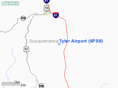
Location & QuickFacts
| FAA Information Effective: | 2008-09-25 |
| Airport Identifier: | 6PS8 |
| Airport Status: | Operational |
| Longitude/Latitude: | 075-41-55.6200W/41-49-00.1900N
-75.698783/41.816719 (Estimated) |
| Elevation: | 1401 ft / 427.02 m (Estimated) |
| Land: | 0 acres |
| From nearest city: | 3 nautical miles S of New Milford, PA |
| Location: | Susquehanna County, PA |
| Magnetic Variation: | () |
Owner & Manager
| Ownership: | Privately owned |
| Owner: | Brian Tyler |
| Address: | Rr 1 Box 172
New Milford, PA 18834 |
| Phone number: | 570-434-2578 |
| Manager: | Brian Tyler |
| Address: | Rr 1 Box 172
New Milford, PA 18834 |
| Phone number: | 570-434-2578 |
Airport Operations and Facilities
| Airport Use: | Private |
| Wind indicator: | Yes |
| Control Tower: | No |
| Sectional chart: | New York |
| Region: | AEA - Eastern |
| Boundary ARTCC: | ZNY - New York |
| Responsible ARTCC: | ZNY - New York |
| Tie-in FSS: | IPT - Williamsport |
| FSS Toll Free: | 1-800-WX-BRIEF |
Runway Information
Runway 02/20
| Dimension: | 1475 x 100 ft / 449.6 x 30.5 m |
| Surface: | TURF, |
| |
Runway 02 |
Runway 20 |
| Traffic Pattern: | Left | Left |
| Obstruction: | | 10 ft tree, 900.0 ft from runway |
|
Radio Navigation Aids
| ID |
Type |
Name |
Ch |
Freq |
Var |
Dist |
| CYE | NDB | Crystal Lake | | 410.00 | 11W | 36.9 nm |
| MS | NDB | Monga | | 359.00 | 12W | 37.7 nm |
| HNK | VOR/DME | Hancock | 115X | 116.80 | 11W | 22.6 nm |
| DNY | VOR/DME | De Lancey | 058X | 112.10 | 11W | 39.6 nm |
| RKA | VOR/DME | Rockdale | 073X | 112.60 | 11W | 44.1 nm |
| LHY | VORTAC | Lake Henry | 045X | 110.80 | 10W | 22.7 nm |
| CFB | VORTAC | Binghamton | 059X | 112.20 | 10W | 28.3 nm |
| LVZ | VORTAC | Wilkes-barre | 053X | 111.60 | 10W | 32.7 nm |
Remarks
- PRVDD CLEAR 20:1 APCHS AND CLEAR OBSTACLE FREE ZONE.
Images and information placed above are from
http://www.airport-data.com/airport/6PS8/
We thank them for the data!
| General Info
|
| Country |
United States
|
| State |
PENNSYLVANIA
|
| FAA ID |
6PS8
|
| Latitude |
40-00-41.404N
|
| Longitude |
075-11-00.642W
|
| Elevation |
198 feet
|
| Near City |
PHILADELPHIA
|
We don't guarantee the information is fresh and accurate. The data may
be wrong or outdated.
For more up-to-date information please refer to other sources.
|
|


