|
|

 |
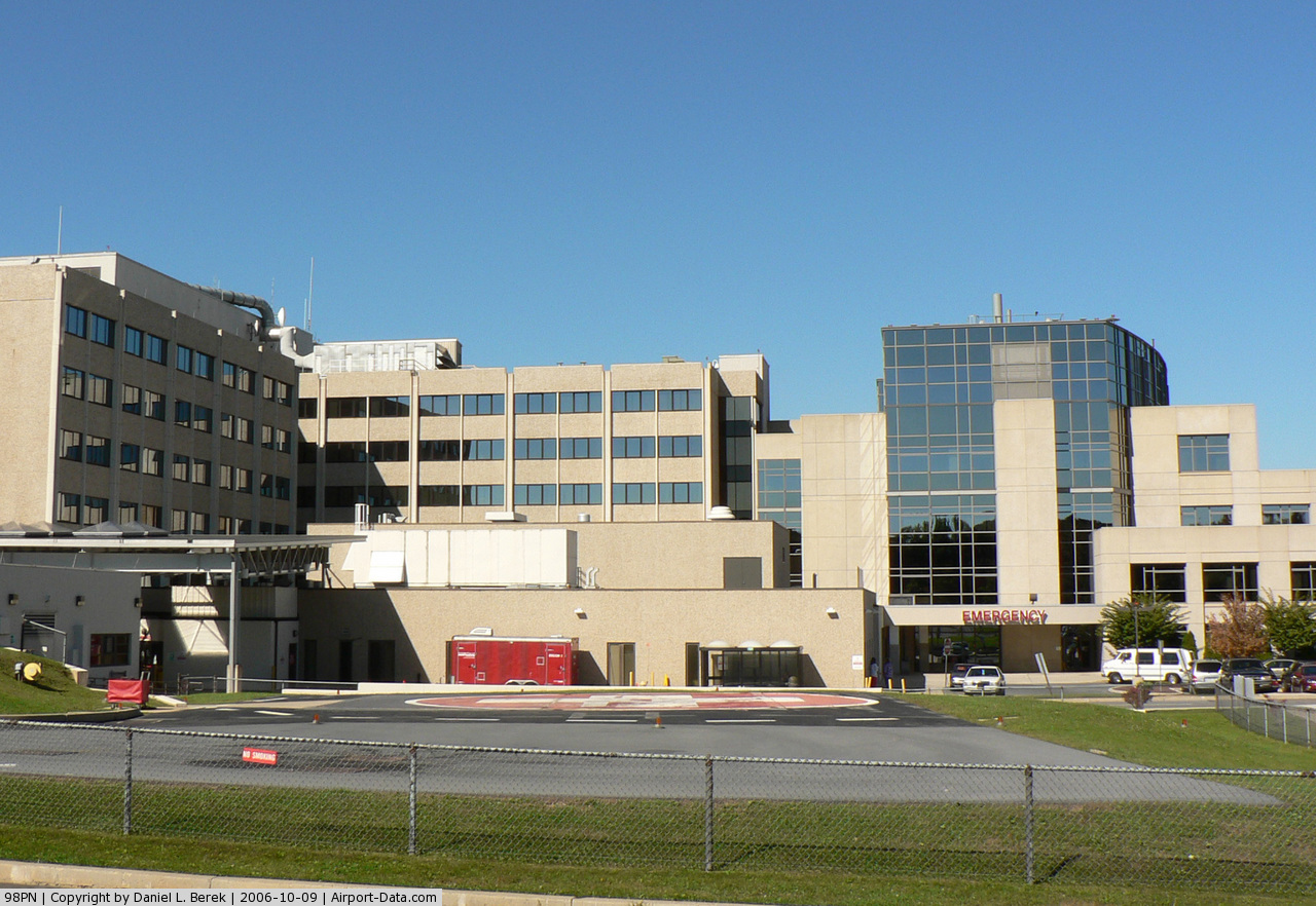
(Click on the photo to enlarge) |
Location & QuickFacts
| FAA Information Effective: | 2008-09-25 |
| Airport Identifier: | 98PN |
| Airport Status: | Operational |
| Longitude/Latitude: | 075-31-24.6640W/40-33-40.3490N
-75.523518/40.561208 (Estimated) |
| Elevation: | 400 ft / 121.92 m (Estimated) |
| Land: | 0 acres |
| From nearest city: | 2 nautical miles SW of Allentown, PA |
| Location: | Lehigh County, PA |
| Magnetic Variation: | 11W (1985) |
Owner & Manager
| Ownership: | Privately owned |
| Owner: | Lehigh Valley Hospital Center |
| Address: | 1200 S. Cedar Crest Blvd.
Allentown, PA 18105 |
| Phone number: | 610-402-8666 |
| Manager: | Hal Spatz |
| Address: | 1200 S. Cedar Crest Blvd.
Allentown, PA 18105 |
| Phone number: | 610-402-8666 |
Airport Operations and Facilities
| Airport Use: | Private |
| Wind indicator: | Yes |
| Segmented Circle: | No |
| Control Tower: | No |
| Lighting Schedule: | DUSK-DAWN |
| Beacon Color: | Clear-Green-Yellow (heliport) |
| Landing fee charge: | No |
| Sectional chart: | New York |
| Region: | AEA - Eastern |
| Boundary ARTCC: | ZNY - New York |
| Tie-in FSS: | IPT - Williamsport |
| FSS on Airport: | No |
| FSS Toll Free: | 1-800-WX-BRIEF |
Runway Information
Helipad H1
| Dimension: | 60 x 60 ft / 18.3 x 18.3 m |
| Surface: | ASPH, |
| |
Runway H1 |
Runway |
| Traffic Pattern: | Left | Left |
|
Radio Navigation Aids
| ID |
Type |
Name |
Ch |
Freq |
Var |
Dist |
| UKT | NDB | Quakertown | | 208.00 | 12W | 13.2 nm |
| LQX | NDB | Carbon | | 339.00 | 12W | 18.5 nm |
| DYL | NDB | Doylestown | | 237.00 | 10W | 22.8 nm |
| NXX | NDB | Willow Grove | | 388.00 | 12W | 28.3 nm |
| ING | NDB | Ambler | | 275.00 | 11W | 28.3 nm |
| HXM | NDB | Humbolt | | 366.00 | 10W | 33.5 nm |
| CYE | NDB | Crystal Lake | | 410.00 | 11W | 41.5 nm |
| BZJ | NDB | Bellgrove | | 328.00 | 10W | 47.7 nm |
| NXX | TACAN | Willow Grove | 061X | | 10W | 28.0 nm |
| HZL | VOR | Hazleton | | 109.40 | 09W | 37.0 nm |
| PNE | VOR | North Philadelphia | | 112.00 | 10W | 37.2 nm |
| ETX | VOR/DME | East Texas | 039X | 110.20 | 09W | 7.4 nm |
| CKZ | VOR/DME | Pennridge | 025Y | 108.85 | 12W | 14.8 nm |
| ARD | VOR/DME | Yardley | 019X | 108.20 | 10W | 33.7 nm |
| BWZ | VOR/DME | Broadway | 089X | 114.20 | 11W | 35.0 nm |
| SBJ | VOR/DME | Solberg | 076X | 112.90 | 10W | 35.7 nm |
| STW | VOR/DME | Stillwater | 033X | 109.60 | 11W | 39.6 nm |
| FJC | VORTAC | Allentown | 122X | 117.50 | 10W | 10.4 nm |
| PTW | VORTAC | Pottstown | 112X | 116.50 | 09W | 20.4 nm |
| MXE | VORTAC | Modena | 079X | 113.20 | 09W | 39.2 nm |
| LVZ | VORTAC | Wilkes-barre | 053X | 111.60 | 10W | 43.4 nm |
| LRP | VORTAC | Lancaster | 120X | 117.30 | 09W | 44.1 nm |
| RAV | VORTAC | Ravine | 093X | 114.60 | 11W | 49.1 nm |
| PHL | VOT | Philadelphia Intl | | 109.80 | | 43.4 nm |
Remarks
- 100 FT POWER LINES 400 FT NORTH OF HELIPAD.
Images and information placed above are from
http://www.airport-data.com/airport/98PN/
We thank them for the data!
| General Info
|
| Country |
United States
|
| State |
PENNSYLVANIA
|
| FAA ID |
98PN
|
| Latitude |
40-33-40.349N
|
| Longitude |
075-31-24.664W
|
| Elevation |
400 feet
|
| Near City |
ALLENTOWN
|
We don't guarantee the information is fresh and accurate. The data may
be wrong or outdated.
For more up-to-date information please refer to other sources.
|
|