 |
|
Location & QuickFacts
| FAA Information Effective: | 2008-09-25 |
| Airport Identifier: | 00PS |
| Airport Status: | Operational |
| Longitude/Latitude: | 077-21-55.0000W/40-22-40.0000N
-77.365278/40.377778 (Estimated) |
| Elevation: | 815 ft / 248.41 m (Estimated) |
| Land: | 0 acres |
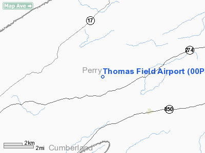
| From nearest city: | 1 nautical miles NW of Loysville, PA |
| Location: | Perry County, PA |
| Magnetic Variation: | 11W (1995) |
Owner & Manager
| Ownership: | Privately owned |
| Owner: | Brian E Thomas |
| Address: | Rr 2 Box 355h
Loysville, PA 17047 |
| Phone number: | 717-789-9266 |
| Manager: | Brian E Thomas |
| Address: | Rr 2 Box 355h
Loysville, PA 17047 |
| Phone number: | 717-789-9266 |
Airport Operations and Facilities
| Airport Use: | Private |
| Wind indicator: | Yes |
| Segmented Circle: | No |
| Control Tower: | No |
| Sectional chart: | Detroit |
| Region: | AEA - Eastern |
| Boundary ARTCC: | ZNY - New York |
| Tie-in FSS: | IPT - Williamsport |
| FSS on Airport: | No |
| FSS Toll Free: | 1-800-WX-BRIEF |
Runway Information
Runway 08/26
| Dimension: | 3100 x 100 ft / 944.9 x 30.5 m |
| Surface: | TURF, Good Condition |
| |
Runway 08 |
Runway 26 |
| Traffic Pattern: | Left | Left |
| Displaced threshold: | 1335.00 ft | 1072.00 ft |
| Obstruction: | 50 ft trees | 40 ft bldg, 300.0 ft from runway |
|
Radio Navigation Aids
| ID |
Type |
Name |
Ch |
Freq |
Var |
Dist |
| RV | NDB | Stroh | | 407.00 | 10W | 21.5 nm |
| EUD | NDB | York | | 254.00 | 11W | 35.5 nm |
| BZJ | NDB | Bellgrove | | 328.00 | 10W | 37.3 nm |
| AOO | VOR | Altoona | | 108.80 | 07W | 43.1 nm |
| HGR | VOR | Hagerstown | | 109.80 | 07W | 46.7 nm |
| HAR | VORTAC | Harrisburg | 072X | 112.50 | 10W | 14.3 nm |
| SEG | VORTAC | Selinsgrove | 041X | 110.40 | 08W | 33.2 nm |
| RAV | VORTAC | Ravine | 093X | 114.60 | 11W | 36.6 nm |
| THS | VORTAC | St Thomas | 097X | 115.00 | 07W | 37.9 nm |
| PSB | VORTAC | Philipsburg | 102X | 115.50 | 10W | 43.2 nm |
| TON | VORTAC | Tyrone | 096X | 114.90 | 07W | 49.1 nm |
| MDT | VOT | Harrisburg International | | 110.00 | | 29.6 nm |
Remarks
- DAYTIME OPNS ONLY; CLEAR 20:1 TO EACH RY END; REMOVE TREES WITHIN 125 FT OF RY.
Images and information placed above are from
http://www.airport-data.com/airport/00PS/
We thank them for the data!
| General Info
|
| Country |
United States
|
| State |
PENNSYLVANIA
|
| FAA ID |
00PS
|
| Latitude |
40-22-40.000N
|
| Longitude |
077-21-55.000W
|
| Elevation |
815 feet
|
| Near City |
LOYSVILLE
|
We don't guarantee the information is fresh and accurate. The data may
be wrong or outdated.
For more up-to-date information please refer to other sources.
|
|


