|
|
 |
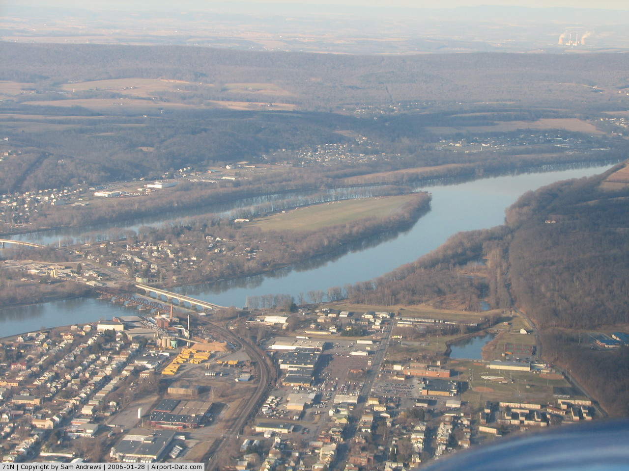
(Click on the photo to enlarge) |
 |
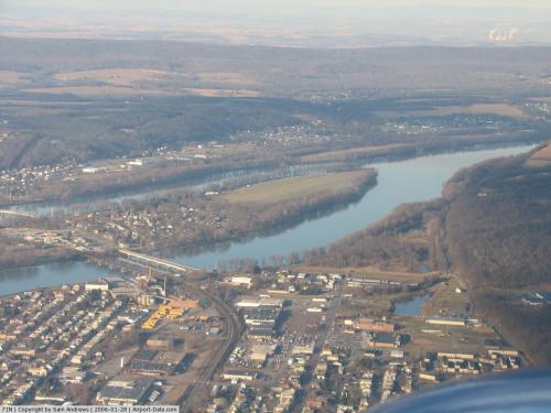
(Click on the photo to enlarge) |
Location & QuickFacts
| FAA Information Effective: | 2008-09-25 |
| Airport Identifier: | 71N |
| Airport Status: | Operational |
| Longitude/Latitude: | 076-46-43.8720W/40-53-30.3070N
-76.778853/40.891752 (Estimated) |
| Elevation: | 450 ft / 137.16 m (Estimated) |
| Land: | 100 acres |
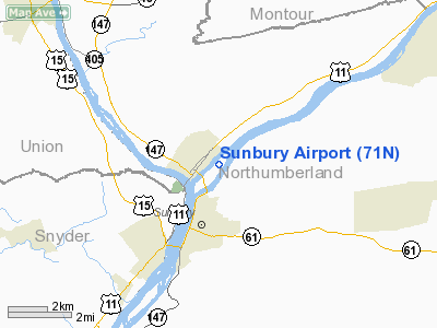
| From nearest city: | 2 nautical miles NE of Sunbury, PA |
| Location: | Northumberland County, PA |
| Magnetic Variation: | 11W (1985) |
Owner & Manager
| Ownership: | Privately owned |
| Owner: | James M. Gilfert |
| Address: | 800 Park Drive
Sunbury, PA 17801 |
| Phone number: | 570-988-6497 |
| Manager: | James M. Gilfert |
| Address: | 800 Park Drive
Sunbury, PA 17801 |
| Phone number: | 570-988-6497 |
Airport Operations and Facilities
| Airport Use: | Open to public |
| Wind indicator: | Yes |
| Segmented Circle: | No |
| Control Tower: | No |
| Landing fee charge: | No |
| Sectional chart: | New York |
| Region: | AEA - Eastern |
| Boundary ARTCC: | ZNY - New York |
| Tie-in FSS: | IPT - Williamsport |
| FSS on Airport: | No |
| FSS Toll Free: | 1-800-WX-BRIEF |
| NOTAMs Facility: | IPT (NOTAM-d service avaliable) |
Airport Communications
Airport Services
| Airframe Repair: | MINOR |
| Power Plant Repair: | MINOR |
Runway Information
Runway 05/23
| Dimension: | 3250 x 250 ft / 990.6 x 76.2 m |
| Surface: | TURF, Good Condition |
| |
Runway 05 |
Runway 23 |
| Traffic Pattern: | Left | Left |
| Displaced threshold: | 1050.00 ft | 0.00 ft |
| Obstruction: | 76 ft trees, 88.0 ft from runway, 105 ft right of centerline, 1:1 slope to clear
RWY 05 APCH RATIO 20:1 TO DSPLCD THLD. | 35 ft tree, 773.0 ft from runway, 103 ft right of centerline, 21:1 slope to clear |
|
Radio Navigation Aids
| ID |
Type |
Name |
Ch |
Freq |
Var |
Dist |
| PIX | NDB | Picture Rocks | | 344.00 | 09W | 23.4 nm |
| BZJ | NDB | Bellgrove | | 328.00 | 10W | 29.3 nm |
| HXM | NDB | Humbolt | | 366.00 | 10W | 36.0 nm |
| RV | NDB | Stroh | | 407.00 | 10W | 45.9 nm |
| LQX | NDB | Carbon | | 339.00 | 12W | 46.6 nm |
| CYE | NDB | Crystal Lake | | 410.00 | 11W | 47.0 nm |
| HZL | VOR | Hazleton | | 109.40 | 09W | 30.1 nm |
| FQM | VOR/DME | Williamsport | 091X | 114.40 | 09W | 26.9 nm |
| SEG | VORTAC | Selinsgrove | 041X | 110.40 | 08W | 7.7 nm |
| MIP | VORTAC | Milton | 029X | 109.20 | 09W | 9.4 nm |
| RAV | VORTAC | Ravine | 093X | 114.60 | 11W | 21.9 nm |
| HAR | VORTAC | Harrisburg | 072X | 112.50 | 10W | 37.8 nm |
| MDT | VOT | Harrisburg International | | 110.00 | | 41.7 nm |
Remarks
- MTN 560 FT AGL .5 MI EAST AER 23.
- TREE LINE BORDERS SOUTH END & PENETRATES TRANSITIONAL SFC.
- PRIOR TO 1959.
Images and information placed above are from
http://www.airport-data.com/airport/71N/
We thank them for the data!
| General Info
|
| Country |
United States
|
| State |
PENNSYLVANIA
|
| FAA ID |
71N
|
| Latitude |
40-53-30.307N
|
| Longitude |
076-46-43.872W
|
| Elevation |
450 feet
|
| Near City |
SUNBURY
|
We don't guarantee the information is fresh and accurate. The data may
be wrong or outdated.
For more up-to-date information please refer to other sources.
|
|