|
|
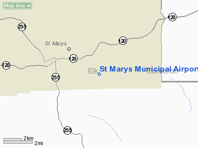
| St. Marys Municipal Airport |
| IATA: STQ – ICAO: KOYM – FAA LID: OYM |
| Summary |
| Airport type |
Public |
| Owner |
City of St. Marys |
| Serves |
St. Marys, Pennsylvania |
| Elevation AMSL |
1,934 ft / 589 m |
| Coordinates |
41°24′45″N 078°30′09″W / 41.4125°N 78.5025°W / 41.4125; -78.5025 |
| Website |
www.cityofstmarys.com/... |
| Runways |
| Direction |
Length |
Surface |
| ft |
m |
| 10/28 |
4,300 |
1,311 |
Asphalt/Treated |
| Statistics (2007) |
| Aircraft operations |
6,730 |
| Based aircraft |
26 |
| Source: Federal Aviation Administration |
St. Marys Municipal Airport (IATA: STQ, ICAO: KOYM, FAA LID: OYM) is a city-owned public-use airport three miles (5 km) southeast of the central business district of St. Marys, a city in Elk County, Pennsylvania, United States.. This general aviation airport is located off South Michael Road in St. Marys.
Although most U.S. airports use the same three-letter location identifier for the FAA and IATA, St. Marys Municipal Airport is assigned OYM by the FAA and STQ by the IATA. History
The original concept for the airport was born on February 15, 1944. A chairman was appointed and a committee was formed to begin work developing an airport to serve the region. The site for the new airport along South Michael Road was located and approved in October, 1944.
St. Marys Borough Council accepted the airport project with the stipulation that no taxpayer money would be required for building, improving or operating the airport. Local industry, such as the local powder medal manufacturers, strongly supported the airport since the beginning.
The airport officially opened on June 30, 1950 with a 3,700' x 75' runway. Following the opening, the existing Hoffman residence was renovated into an administration building. In 1954, a runway rehabilitation project that extended the paved portion of the runway to 2,400' was completed. Since then, there have been millions of dollars in Federal, State, and local funds invested in the airport. In 1998,the airport completed a major runway rehabilitation program. The entire runway surface was replaced along with the repair and rehabilitation of the drainage system, lighting, taxiways, and the apron. In 1999, a large commercial hanger was constructed that is presently used for minor repairs, overhauls, and the repair of damaged aircraft. A new terminal and restaurant were recently constructed, as well as the addition of an airport industrial park. Victor Straub is the current Chairman of the Airport Authority.
Facilities and aircraft
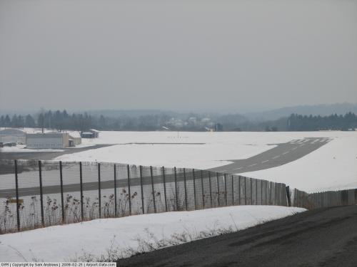
St. Marys Municipal Airport covers an area of 283 acres (115 ha) and contains one runway designated 10/28 with a 4,300 x 75 ft (1,311 x 23 m) asphalt pavement. For the 12-month period ending October 31, 2007, the airport had 6,730 aircraft operations, an average of 18 per day: 85% general aviation, 15% air taxi and <1% military. At that time there were 26 aircraft based at this airport: 80% single-engine, 4% multi-engine, 8% helicopter and 8% ultralight.
The above content comes from Wikipedia and is published under free licenses – click here to read more.
 |
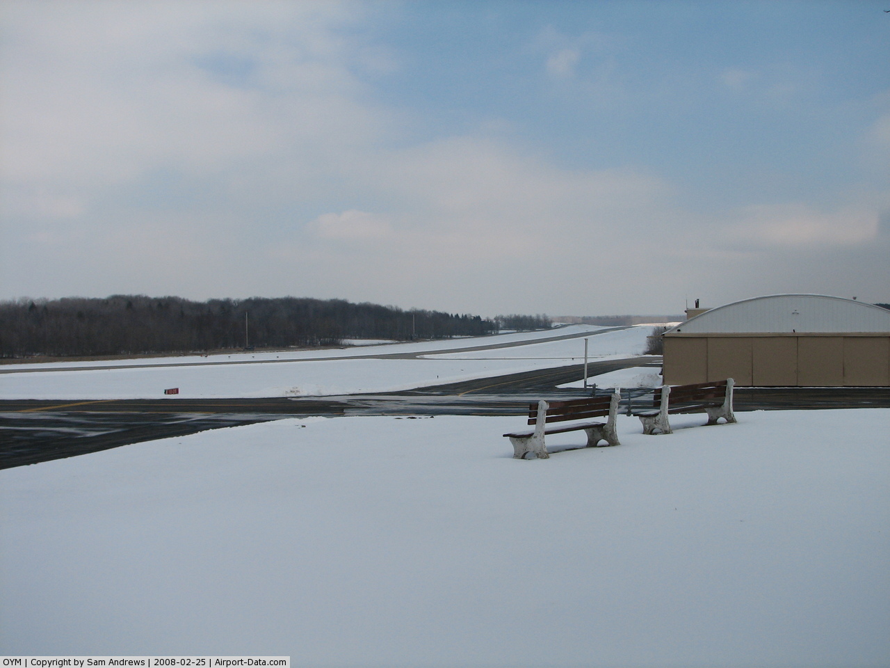
(Click on the photo to enlarge) |
 |
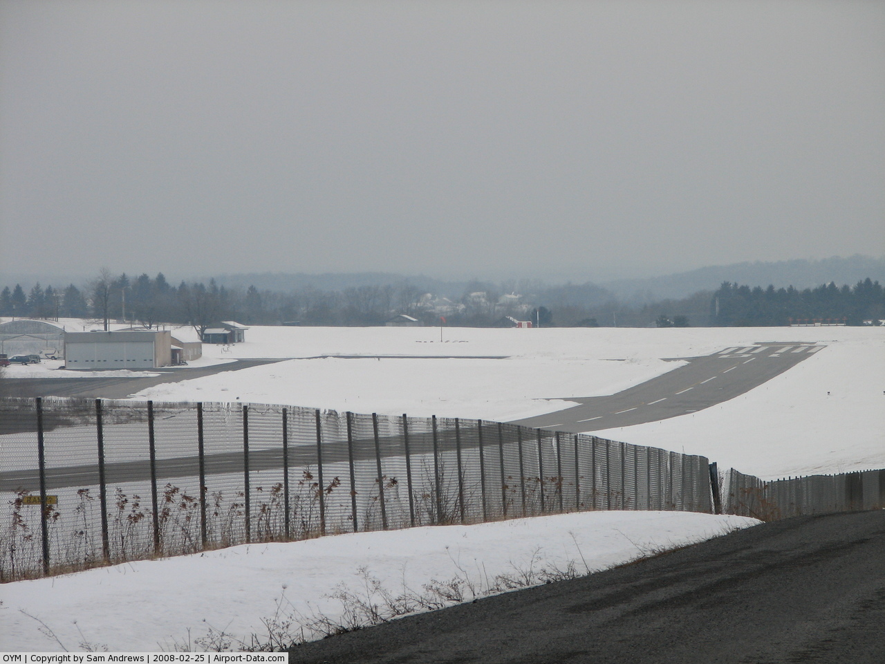
(Click on the photo to enlarge) |
Location & QuickFacts
| FAA Information Effective: | 2008-09-25 |
| Airport Identifier: | OYM |
| Airport Status: | Operational |
| Longitude/Latitude: | 078-30-09.4730W/41-24-44.9200N
-78.502631/41.412478 (Estimated) |
| Elevation: | 1934 ft / 589.48 m (Surveyed) |
| Land: | 283 acres |
| From nearest city: | 3 nautical miles SE of St Marys, PA |
| Location: | Elk County, PA |
| Magnetic Variation: | 11W (2005) |
Owner & Manager
| Ownership: | Publicly owned |
| Owner: | City Of St. Marys |
| Address: | Po Box 89 119 Airport Rd
St Marys, PA 15857 |
| Phone number: | 814-834-4671 |
| Manager: | Joseph Bologna |
| Address: | 931 Falcon Rd
St Marys, PA 15857 |
| Phone number: | 814-834-1867 |
Airport Operations and Facilities
| Airport Use: | Open to public |
| Wind indicator: | Yes |
| Segmented Circle: | Yes |
| Control Tower: | No |
| Lighting Schedule: | DUSK-DAWN
ACTVT MIRL RY 10/28, PAPI RYS 10 & 28, & MALS RY 28 - CTAF. |
| Beacon Color: | Clear-Green (lighted land airport) |
| Landing fee charge: | No |
| Sectional chart: | Detroit |
| Region: | AEA - Eastern |
| Boundary ARTCC: | ZOB - Cleveland |
| Tie-in FSS: | AOO - Altoona |
| FSS on Airport: | No |
| FSS Toll Free: | 1-800-WX-BRIEF |
| NOTAMs Facility: | AOO (NOTAM-d service avaliable) |
| Federal Agreements: | NGY |
Airport Communications
| CTAF: | 122.700 |
| Unicom: | 122.700 |
Airport Services
| Fuel available: | 100LLA |
| Airframe Repair: | MAJOR |
| Power Plant Repair: | MAJOR |
| Bottled Oxygen: | NONE |
| Bulk Oxygen: | NONE |
Runway Information
Runway 10/28
| Dimension: | 4300 x 75 ft / 1310.6 x 22.9 m |
| Surface: | ASPH, Fair Condition |
| Surface Treatment: | Saw-cut or plastic Grooved |
| Weight Limit: | Single wheel: 12500 lbs. |
| Edge Lights: | Medium |
| |
Runway 10 |
Runway 28 |
| Longitude: | 078-30-37.7320W | 078-29-41.3030W |
| Latitude: | 41-24-44.9370N | 41-24-44.9470N |
| Elevation: | 1902.00 ft | 1934.00 ft |
| Alignment: | 90 | 127 |
| ILS Type: | | LOC/DME
|
| Traffic Pattern: | Left | Left |
| Markings: | Non-precision instrument, Good Condition
RWY MARKINGS FADED. | Non-precision instrument, Good Condition
RWY MARKINGS FADED. |
| Crossing Height: | 40.00 ft | 40.00 ft |
| VASI: | 4-light PAPI on left side | 4-light PAPI on left side |
| Visual Glide Angle: | 3.00° | 3.00° |
| Approach lights: | | MALS |
| Obstruction: | 15 ft road, 200.0 ft from runway, 225 ft left of centerline
+5' FENCE 200' N OF RY 0-200'. +15' PUBLIC ROAD 0-200' & 225' L. | 37 ft trees, 810.0 ft from runway, 221 ft left of centerline, 17:1 slope to clear
+8' FENCE N OF RY FM 0'-176'. |
|
Radio Navigation Aids
| ID |
Type |
Name |
Ch |
Freq |
Var |
Dist |
| EL | NDB | Halos | | 269.00 | 09W | 49.5 nm |
| BFD | VOR/DME | Bradford | 113X | 116.60 | 07W | 23.1 nm |
| CIP | VOR/DME | Clarion | 076X | 112.90 | 06W | 46.0 nm |
| ETG | VORTAC | Keating | 107X | 116.00 | 10W | 20.1 nm |
| SLT | VORTAC | Slate Run | 086X | 113.90 | 08W | 24.7 nm |
| PSB | VORTAC | Philipsburg | 102X | 115.50 | 10W | 37.7 nm |
| TON | VORTAC | Tyrone | 096X | 114.90 | 07W | 41.4 nm |
| TDT | VORTAC | Tidioute | 123X | 117.60 | 09W | 44.9 nm |
| ELZ | VORTAC | Wellsville | 051X | 111.40 | 09W | 46.5 nm |
Remarks
- ROAD N OF & PARALLEL TO RY PENETRATES 7:1 SFC & PRIMARY SFC.
Images and information placed above are from
http://www.airport-data.com/airport/OYM/
We thank them for the data!
| General Info
|
| Country |
United States
|
| State |
PENNSYLVANIA
|
| FAA ID |
OYM
|
| Latitude |
41-24-44.920N
|
| Longitude |
078-30-09.473W
|
| Elevation |
1934 feet
|
| Near City |
ST MARYS
|
We don't guarantee the information is fresh and accurate. The data may
be wrong or outdated.
For more up-to-date information please refer to other sources.
|
|