|
|

 |
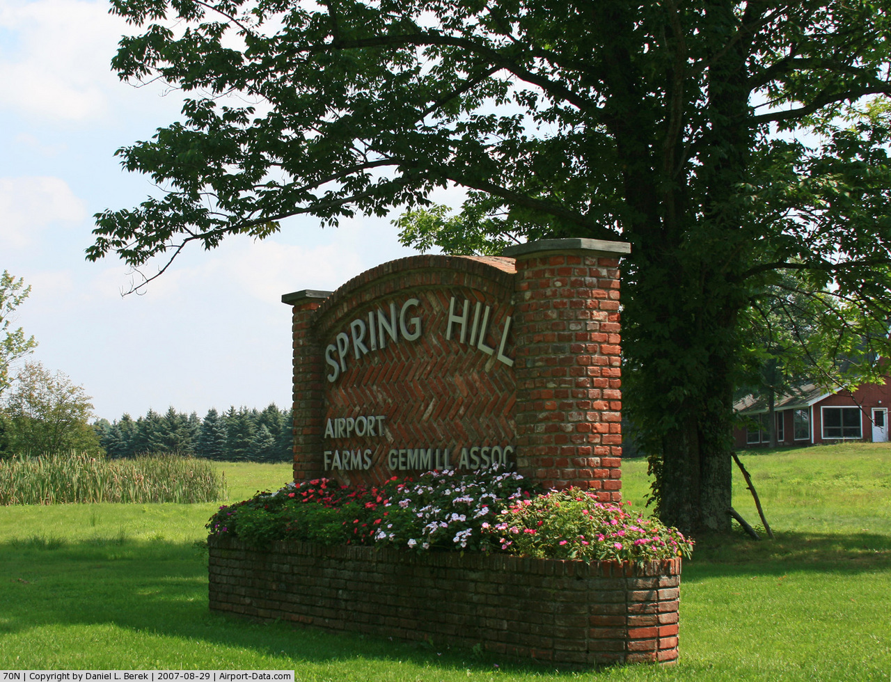
(Click on the photo to enlarge) |
 |
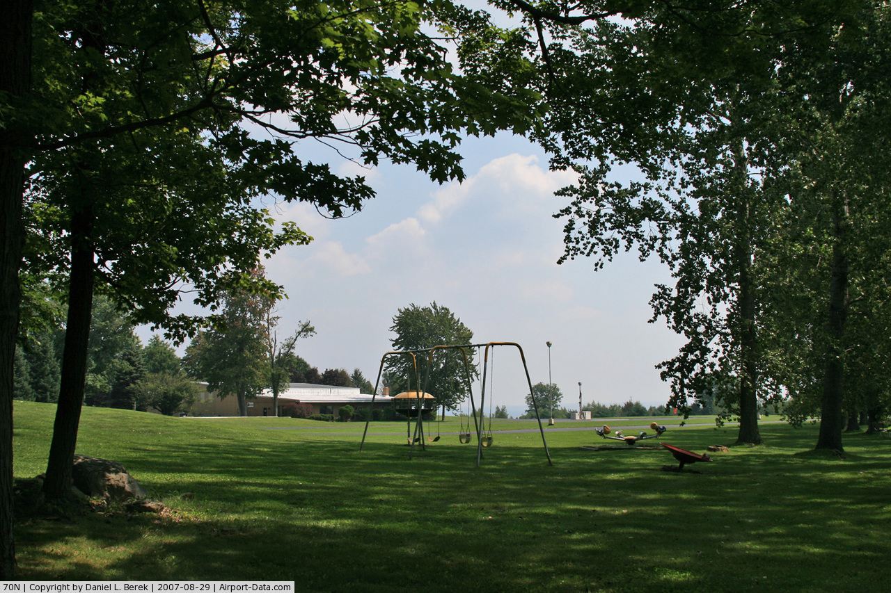
(Click on the photo to enlarge) |
 |
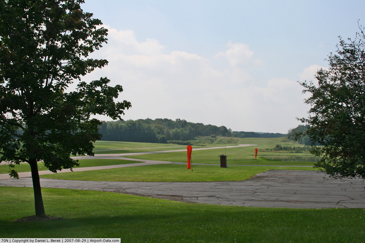
(Click on the photo to enlarge) |
Location & QuickFacts
| FAA Information Effective: | 2008-09-25 |
| Airport Identifier: | 70N |
| Airport Status: | Operational |
| Longitude/Latitude: | 075-24-57.2300W/41-20-50.4850N
-75.415897/41.347357 (Estimated) |
| Elevation: | 1729 ft / 527.00 m (Surveyed) |
| Land: | 22 acres |
| From nearest city: | 1 nautical miles NW of Sterling, PA |
| Location: | Wayne County, PA |
| Magnetic Variation: | 12W (1985) |
Owner & Manager
| Ownership: | Privately owned |
| Owner: | Seven Zero November, Llc |
| Address: | Po Box 67
Sterling, PA 18463 |
| Phone number: | 570-689-9316 |
| Manager: | Wayne Saar |
| Address: | Po Box 67
Sterling, PA 18463 |
| Phone number: | 570-689-9316 |
Airport Operations and Facilities
| Airport Use: | Open to public |
| Wind indicator: | Yes |
| Segmented Circle: | No |
| Control Tower: | No |
| Lighting Schedule: | RDO-CTL
ACTVT LIRL RY 05/23 & ROTG BCN - CTAF. |
| Beacon Color: | Clear-Green (lighted land airport) |
| Landing fee charge: | No |
| Sectional chart: | New York |
| Region: | AEA - Eastern |
| Boundary ARTCC: | ZNY - New York |
| Tie-in FSS: | IPT - Williamsport |
| FSS on Airport: | No |
| FSS Toll Free: | 1-800-WX-BRIEF |
| NOTAMs Facility: | IPT (NOTAM-d service avaliable) |
Airport Communications
Airport Services
| Fuel available: | 100LL |
| Bottled Oxygen: | NONE |
| Bulk Oxygen: | NONE |
Runway Information
Runway 05/23
| Dimension: | 2478 x 42 ft / 755.3 x 12.8 m |
| Surface: | ASPH, Good Condition |
| Weight Limit: | Single wheel: 10000 lbs. |
| Edge Lights: | Low |
| |
Runway 05 |
Runway 23 |
| Longitude: | 075-25-07.6100W | 075-24-46.8500W |
| Latitude: | 41-20-41.0700N | 41-20-59.9000N |
| Elevation: | 1729.00 ft | 1669.00 ft |
| Alignment: | 39 | 127 |
| Traffic Pattern: | Left | Left |
| Markings: | Basic, Good Condition | Basic, Good Condition |
| Displaced threshold: | 400.00 ft | 0.00 ft |
| Obstruction: | 27 ft hill, 201.0 ft from runway
RY 05 APCH RATIO 22:1 TO DSPLCD THLD.
+27 FT HILL 185-200 FT FM THLD; 0B. | 32 ft trees, 1170.0 ft from runway, 30:1 slope to clear |
|
Radio Navigation Aids
| ID |
Type |
Name |
Ch |
Freq |
Var |
Dist |
| CYE | NDB | Crystal Lake | | 410.00 | 11W | 20.5 nm |
| HXM | NDB | Humbolt | | 366.00 | 10W | 34.0 nm |
| MS | NDB | Monga | | 359.00 | 12W | 35.5 nm |
| LQX | NDB | Carbon | | 339.00 | 12W | 35.7 nm |
| HZL | VOR | Hazleton | | 109.40 | 09W | 39.2 nm |
| STW | VOR/DME | Stillwater | 033X | 109.60 | 11W | 32.5 nm |
| HUO | VOR/DME | Huguenot | 108X | 116.10 | 11W | 37.4 nm |
| BWZ | VOR/DME | Broadway | 089X | 114.20 | 11W | 42.6 nm |
| HNK | VOR/DME | Hancock | 115X | 116.80 | 11W | 43.3 nm |
| ETX | VOR/DME | East Texas | 039X | 110.20 | 09W | 47.6 nm |
| LHY | VORTAC | Lake Henry | 045X | 110.80 | 10W | 8.3 nm |
| LVZ | VORTAC | Wilkes-barre | 053X | 111.60 | 10W | 13.1 nm |
| FJC | VORTAC | Allentown | 122X | 117.50 | 10W | 37.3 nm |
| SAX | VORTAC | Sparta | 104X | 115.70 | 11W | 43.1 nm |
Remarks
- WINTER MONTHS CALL FOR RY CONDITIONS.
- RY 05 CLSD LANDING SS-SR.
- DEER ON & INVOF ARPT.
Images and information placed above are from
http://www.airport-data.com/airport/70N/
We thank them for the data!
| General Info
|
| Country |
United States
|
| State |
PENNSYLVANIA
|
| FAA ID |
70N
|
| Latitude |
41-20-50.485N
|
| Longitude |
075-24-57.230W
|
| Elevation |
1729 feet
|
| Near City |
STERLING
|
We don't guarantee the information is fresh and accurate. The data may
be wrong or outdated.
For more up-to-date information please refer to other sources.
|
|