|
|
 |
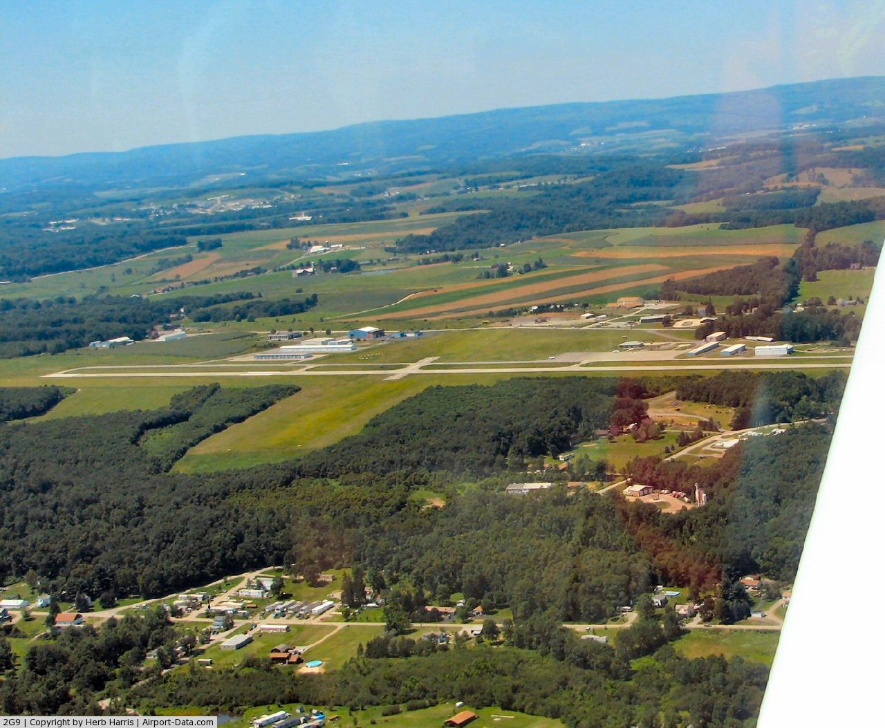
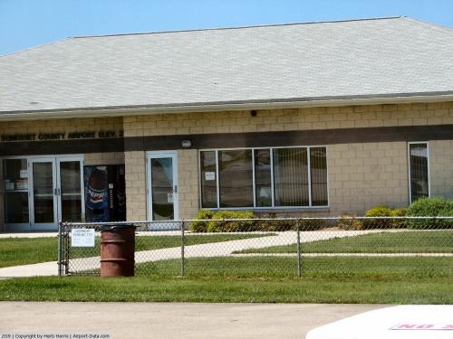
(Click on the photo to enlarge) |
 |
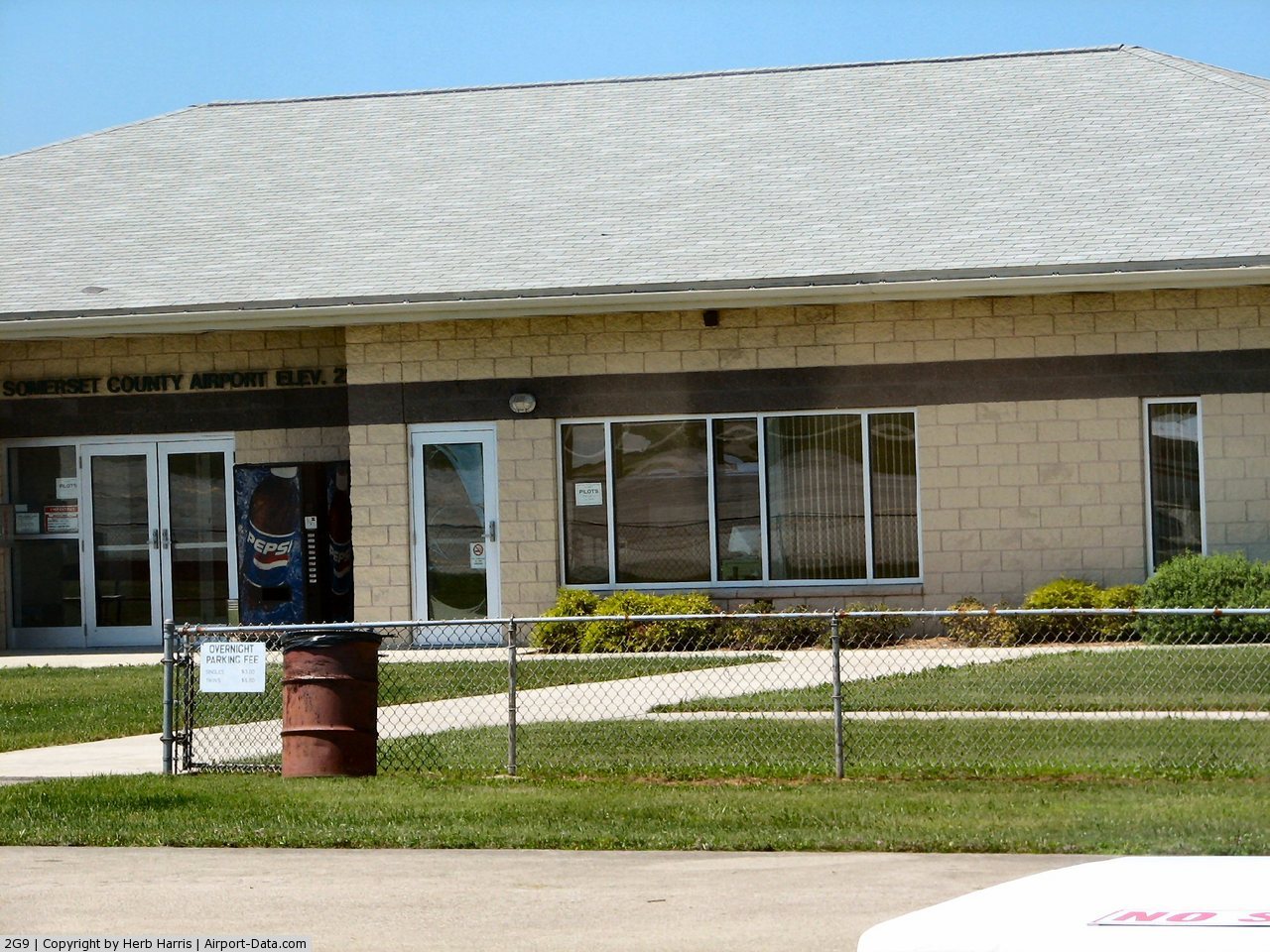
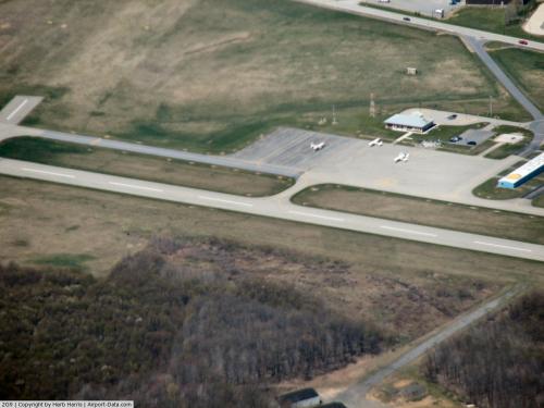
(Click on the photo to enlarge) |
 |
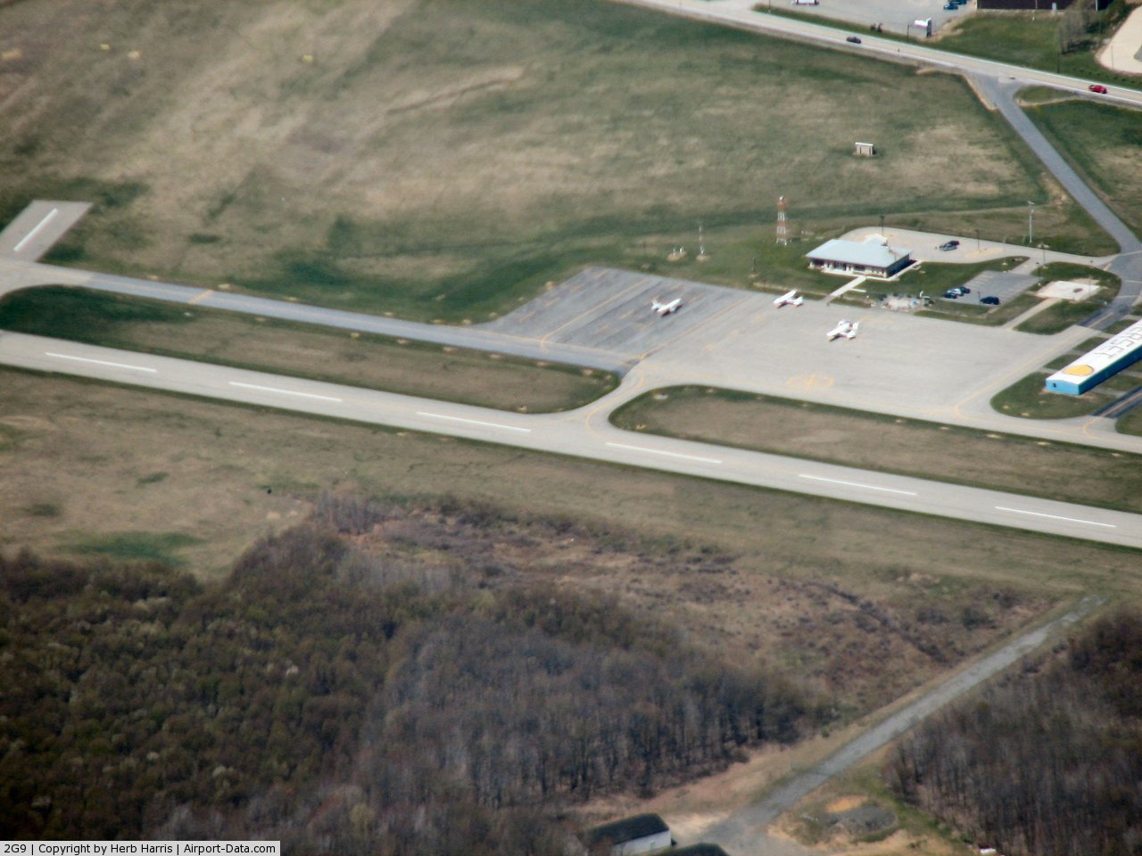
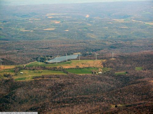
(Click on the photo to enlarge) |
 |
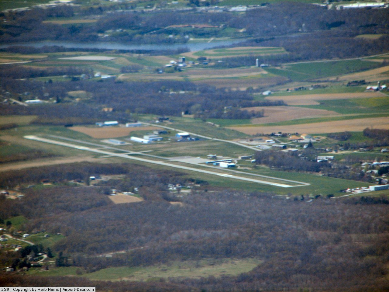
(Click on the photo to enlarge) |
 |
(Click on the photo to enlarge) |
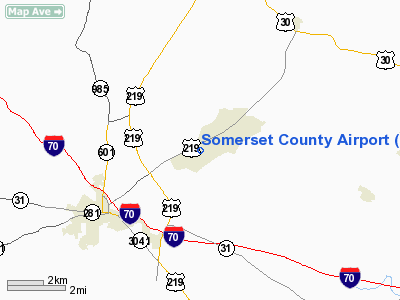
Location & QuickFacts
| FAA Information Effective: | 2008-09-25 |
| Airport Identifier: | 2G9 |
| Airport Status: | Operational |
| Longitude/Latitude: | 079-00-52.4000W/40-02-20.8000N
-79.014556/40.039111 (Estimated) |
| Elevation: | 2272 ft / 692.51 m (Surveyed) |
| Land: | 231 acres |
| From nearest city: | 3 nautical miles NE of Somerset, PA |
| Location: | Somerset County, PA |
| Magnetic Variation: | 10W (2000) |
Owner & Manager
| Ownership: | Publicly owned |
| Owner: | Bd Of Co Commissioners |
| Address: | Somerset County Courthouse
Somerset, PA 15501 |
| Phone number: | 814-445-1400 |
| Manager: | David Wright |
| Address: | 159 Airport Lane
Friedens, PA 15541 |
| Phone number: | 814-445-1599 |
Airport Operations and Facilities
| Airport Use: | Open to public |
| Wind indicator: | Yes |
| Segmented Circle: | Yes |
| Control Tower: | No |
| Lighting Schedule: | DUSK-DAWN
ACTVT MIRL RY 07/25, PAPI RY 07, PVASI RY 25, & REIL RY 25 - CTAF. |
| Beacon Color: | Clear-Green (lighted land airport) |
| Landing fee charge: | No |
| Sectional chart: | Detroit |
| Region: | AEA - Eastern |
| Boundary ARTCC: | ZOB - Cleveland |
| Tie-in FSS: | AOO - Altoona |
| FSS on Airport: | No |
| FSS Toll Free: | 1-800-WX-BRIEF |
| NOTAMs Facility: | AOO (NOTAM-d service avaliable) |
| Federal Agreements: | NGY |
Airport Communications
| CTAF: | 122.800 |
| Unicom: | 122.800 |
Airport Services
| Fuel available: | 100LLA
24 HOUR SELF-SERVICE FUELING AVBL. |
| Airframe Repair: | MINOR |
| Power Plant Repair: | MINOR |
| Bottled Oxygen: | NONE |
| Bulk Oxygen: | NONE |
Runway Information
Runway 07/25
| Dimension: | 4697 x 75 ft / 1431.6 x 22.9 m |
| Surface: | ASPH, Good Condition
RY 14/32 570 FT BY 60 FT ASPH AT INTERSECTION WITH RY 07/25 & PARALLEL TWY. |
| Weight Limit: | Single wheel: 18000 lbs. |
| Edge Lights: | Medium |
| |
Runway 07 |
Runway 25 |
| Longitude: | 079-01-17.4390W | 079-00-27.2680W |
| Latitude: | 40-02-07.8593N | 40-02-33.6824N |
| Elevation: | 2272.00 ft | 2201.00 ft |
| Alignment: | 56 | 127 |
| ILS Type: | | LOCALIZER
|
| Traffic Pattern: | Left | Left |
| Markings: | Non-precision instrument, Good Condition | Non-precision instrument, Good Condition |
| Crossing Height: | 56.00 ft | 50.00 ft |
| VASI: | 2-light PAPI on left side | pulsating/steady burning on left side |
| Visual Glide Angle: | 3.00° | 3.00° |
| Runway End Identifier: | | Yes |
| Obstruction: | 19 ft ant, 595.0 ft from runway, 208 ft left of centerline, 21:1 slope to clear | 73 ft trees, 2342.0 ft from runway, 525 ft left of centerline, 29:1 slope to clear |
|
Runway 14/32
| Dimension: | 2695 x 204 ft / 821.4 x 62.2 m |
| Surface: | ASPH-TURF, Good Condition
RY 14/32 570 FT BY 60 FT ASPH AT INTERSECTION WITH RY 07/25 & PARALLEL TWY. |
| |
Runway 14 |
Runway 32 |
| Traffic Pattern: | Left | Left |
| Displaced threshold: | 295.00 ft
RWY 14 DSPLCD THR MARKED WITH YELLOW WOODEN BOUNDARY MARKERS. | 0.00 ft |
| Obstruction: | 15 ft road, 84.0 ft from runway, 5:1 slope to clear
RWY 14 APCH SLOPE 25:1 TO DSPLCD THR. | 9 ft tree, 407.0 ft from runway, 101 ft right of centerline, 46:1 slope to clear |
|
Radio Navigation Aids
| ID |
Type |
Name |
Ch |
Freq |
Var |
Dist |
| SYS | NDB | Stoystown | | 209.00 | 08W | 5.3 nm |
| BHU | NDB | Benje | | 382.00 | 07W | 23.4 nm |
| CBE | NDB | Cumberland | | 317.00 | 07W | 26.5 nm |
| VV | NDB | Camor | | 299.00 | 08W | 34.9 nm |
| INP | NDB | Indiana | | 242.00 | 08W | 35.7 nm |
| MKP | NDB | Mc Keesport | | 287.00 | 07W | 40.0 nm |
| AOO | VOR | Altoona | | 108.80 | 07W | 36.9 nm |
| GRV | VOR/DME | Grantsville | 070X | 112.30 | 06W | 24.3 nm |
| REC | VOR/DME | Revloc | 043X | 110.60 | 09W | 32.9 nm |
| ESL | VOR/DME | Kessel | 045X | 110.80 | 06W | 48.9 nm |
| AGC | VOR/DME | Allegheny | 037X | 110.00 | 09W | 49.3 nm |
| IHD | VORTAC | Indian Head | 019X | 108.20 | 06W | 16.3 nm |
| JST | VORTAC | Johnstown | 077X | 113.00 | 06W | 18.6 nm |
| MGW | VORTAC | Morgantown | 053X | 111.60 | 05W | 48.6 nm |
| THS | VORTAC | St Thomas | 097X | 115.00 | 07W | 49.4 nm |
Images and information placed above are from
http://www.airport-data.com/airport/2G9/
We thank them for the data!
| General Info
|
| Country |
United States
|
| State |
PENNSYLVANIA
|
| FAA ID |
2G9
|
| Latitude |
40-02-20.800N
|
| Longitude |
079-00-52.400W
|
| Elevation |
2272 feet
|
| Near City |
SOMERSET
|
We don't guarantee the information is fresh and accurate. The data may
be wrong or outdated.
For more up-to-date information please refer to other sources.
|
|