|
|
 |
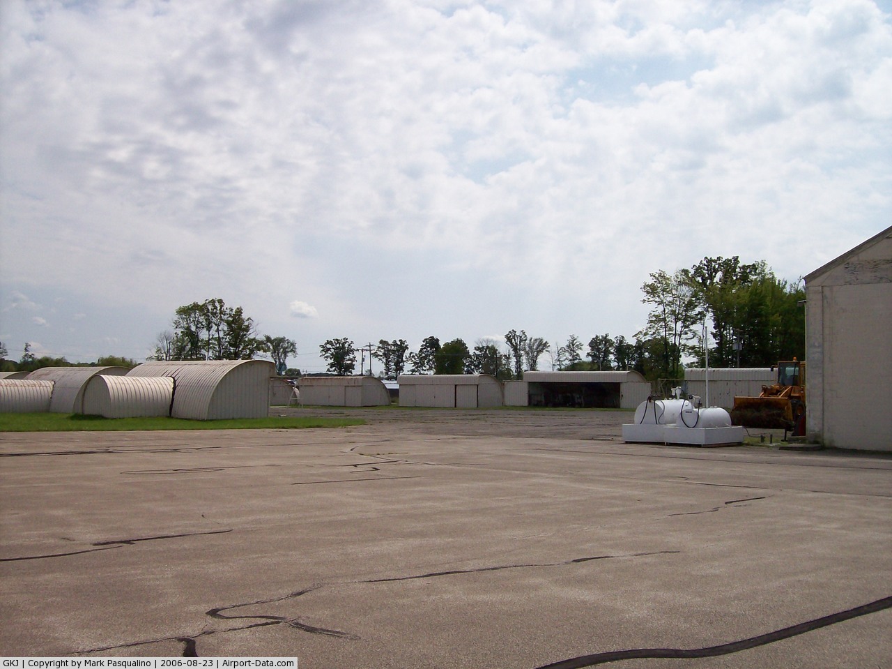
(Click on the photo to enlarge) |
 |
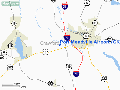
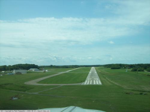
(Click on the photo to enlarge) |
 |
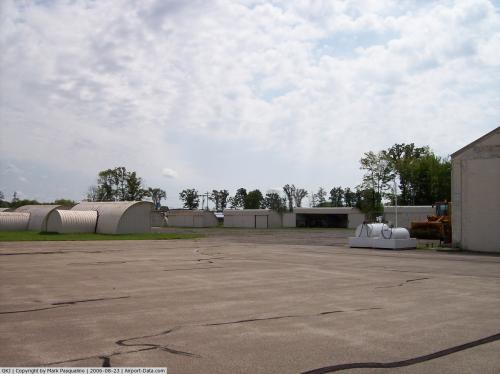
(Click on the photo to enlarge) |
Location & QuickFacts
| FAA Information Effective: | 2008-09-25 |
| Airport Identifier: | GKJ |
| Airport Status: | Operational |
| Longitude/Latitude: | 080-12-53.0190W/41-37-35.4960N
-80.214727/41.626527 (Estimated) |
| Elevation: | 1400 ft / 426.72 m (Surveyed) |
| Land: | 250 acres |
| From nearest city: | 3 nautical miles W of Meadville, PA |
| Location: | Crawford County, PA |
| Magnetic Variation: | 08W (1990) |
Owner & Manager
| Ownership: | Publicly owned |
| Owner: | Ccraa
CRAWFORD COUNTY REGIONAL AIRPORT AUTHORITY |
| Address: | 16306 Corporate Dr.
Meadville, PA 16335 |
| Phone number: | 814-333-7341 |
| Manager: | Jack Lynch |
| Address: | 16306 Corporate Dr.
Meadville, PA 16335 |
| Phone number: | 814-333-2677
ALTERNATE PHONE (814) 720-2531. |
Airport Operations and Facilities
| Airport Use: | Open to public |
| Wind indicator: | Yes |
| Segmented Circle: | No |
| Control Tower: | No |
| Lighting Schedule: | DUSK-DAWN
ACTVT MIRL RY 07/25, VASI RY 07, PAPI RY 25 & MALS RY 25 -CTAF. |
| Beacon Color: | Clear-Green (lighted land airport) |
| Landing fee charge: | Yes |
| Sectional chart: | Detroit |
| Region: | AEA - Eastern |
| Boundary ARTCC: | ZOB - Cleveland |
| Tie-in FSS: | AOO - Altoona |
| FSS on Airport: | No |
| FSS Toll Free: | 1-800-WX-BRIEF |
| NOTAMs Facility: | GKJ (NOTAM-d service avaliable) |
| Federal Agreements: | NGY |
Airport Communications
| CTAF: | 123.000 |
| Unicom: | 123.000 |
Airport Services
| Fuel available: | 100LLA |
| Airframe Repair: | MAJOR |
| Power Plant Repair: | MAJOR |
| Bottled Oxygen: | NONE |
| Bulk Oxygen: | NONE |
Runway Information
Runway 07/25
| Dimension: | 5002 x 75 ft / 1524.6 x 22.9 m |
| Surface: | ASPH, Fair Condition |
| Weight Limit: | Single wheel: 12000 lbs.
Dual wheel: 60000 lbs. |
| Edge Lights: | Medium |
| |
Runway 07 |
Runway 25 |
| Longitude: | 080-13-21.8760W | 080-12-24.1500W |
| Latitude: | 41-37-23.5670N | 41-37-47.3480N |
| Elevation: | 1393.00 ft | 1397.00 ft |
| Alignment: | 61 | 127 |
| ILS Type: | | LOCALIZER
|
| Traffic Pattern: | Left | Left |
| Markings: | Non-precision instrument, Fair Condition | Non-precision instrument, Fair Condition |
| Crossing Height: | 60.00 ft | 41.00 ft |
| VASI: | 4-box on left side | 4-light PAPI on left side |
| Visual Glide Angle: | 3.00° | 3.00° |
| Approach lights: | | MALS |
| Obstruction: | 31 ft trees, 627.0 ft from runway, 295 ft left of centerline, 13:1 slope to clear | 20 ft trees, 445.0 ft from runway, 250 ft left of centerline, 12:1 slope to clear |
|
Radio Navigation Aids
| ID |
Type |
Name |
Ch |
Freq |
Var |
Dist |
| CQD | NDB | Cascade | | 372.00 | 08W | 30.0 nm |
| ORJ | NDB | Corry | | 258.00 | 09W | 30.7 nm |
| HBD | NDB | Hubbard | | 408.00 | 08W | 31.9 nm |
| UCP | NDB | Castle | | 272.00 | 09W | 37.4 nm |
| FKL | VOR | Franklin | | 109.60 | 06W | 19.7 nm |
| JFN | VOR/DME | Jefferson | 099X | 115.20 | 05W | 25.3 nm |
| CXR | VOR/DME | Chardon | 074X | 112.70 | 05W | 43.2 nm |
| CIP | VOR/DME | Clarion | 076X | 112.90 | 06W | 44.7 nm |
| ERI | VORTAC | Erie | 031X | 109.40 | 06W | 23.8 nm |
| YNG | VORTAC | Youngstown | 027X | 109.00 | 05W | 27.3 nm |
| TDT | VORTAC | Tidioute | 123X | 117.60 | 09W | 36.2 nm |
| EWC | VORTAC | Ellwood City | 105X | 115.80 | 08W | 48.2 nm |
Remarks
- BIRDS, DEER, & GND HOGS ON & INVOF ARPT.
- TERMINAL BLDG CLSD MAJOR HOLIDAYS. HOURS 0800-1200 LOCAL ON WARM WEATHER HOLIDAYS (MEMORIAL DAY, 4TH OF JULY, LABOR DAY).
- IN OPERN PRIOR TO 1959.
Images and information placed above are from
http://www.airport-data.com/airport/GKJ/
We thank them for the data!
| General Info
|
| Country |
United States
|
| State |
PENNSYLVANIA
|
| FAA ID |
GKJ
|
| Latitude |
41-37-35.496N
|
| Longitude |
080-12-53.019W
|
| Elevation |
1400 feet
|
| Near City |
MEADVILLE
|
We don't guarantee the information is fresh and accurate. The data may
be wrong or outdated.
For more up-to-date information please refer to other sources.
|
|