|
|
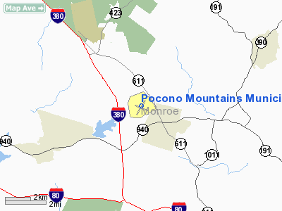
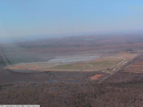
Pocono Mountains Muni Airport |
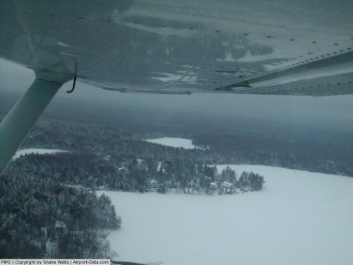 |
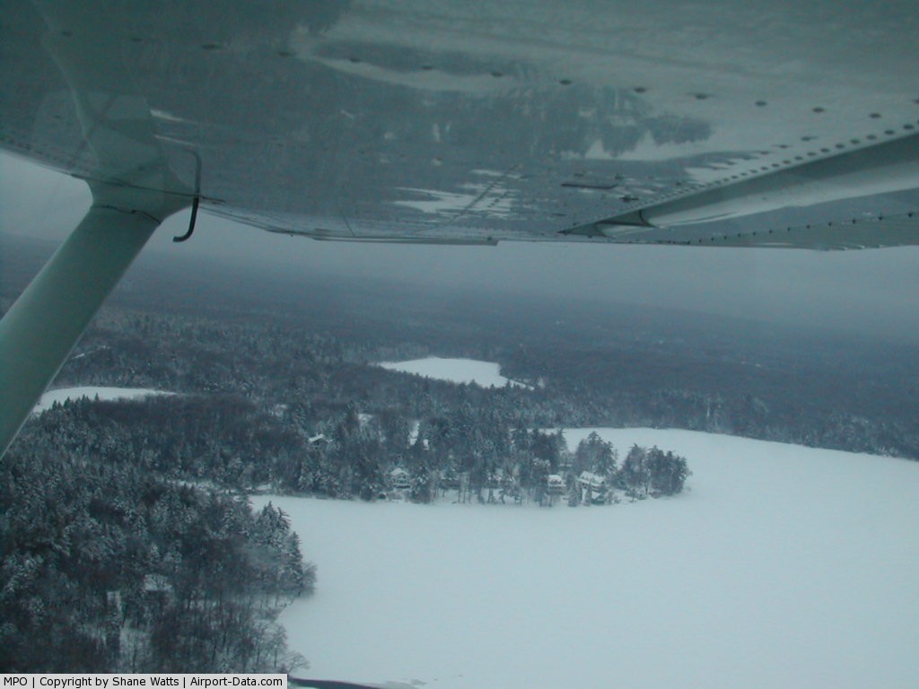
(Click on the photo to enlarge) |
 |
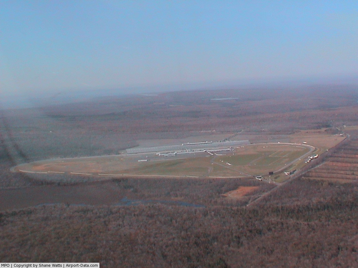
(Click on the photo to enlarge) |
Location & QuickFacts
| FAA Information Effective: | 2008-09-25 |
| Airport Identifier: | MPO |
| Airport Status: | Operational |
| Longitude/Latitude: | 075-22-44.0000W/41-08-14.9000N
-75.378889/41.137472 (Estimated) |
| Elevation: | 1915 ft / 583.69 m (Surveyed) |
| Land: | 275 acres |
| From nearest city: | 2 nautical miles NW of Mount Pocono, PA |
| Location: | Monroe County, PA |
| Magnetic Variation: | 13W (2005) |
Owner & Manager
| Ownership: | Publicly owned |
| Owner: | Pocono Mtns Muni Arpt Auth |
| Address: | Box 115
Mount Pocono, PA 18344 |
| Phone number: | 570-839-0258 |
| Manager: | Rich Kuban |
| Address: | 2780 Memorial Drive
Tobyhanna, PA 18466 |
| Phone number: | 570-839-0258 |
Airport Operations and Facilities
| Airport Use: | Open to public |
| Wind indicator: | Yes |
| Segmented Circle: | Yes |
| Control Tower: | No |
| Lighting Schedule: | DUSK-DAWN
ACTVT MIRL RYS 05/23 & 13/31; PAPI RYS 05 & 23; REIL RWY 05/23 & 13 - CTAF. UNICOM 0800-DUSK DLY. |
| Beacon Color: | Clear-Green (lighted land airport) |
| Landing fee charge: | No |
| Sectional chart: | New York |
| Region: | AEA - Eastern |
| Boundary ARTCC: | ZNY - New York |
| Tie-in FSS: | IPT - Williamsport |
| FSS on Airport: | No |
| FSS Toll Free: | 1-800-WX-BRIEF |
| NOTAMs Facility: | MPO (NOTAM-d service avaliable) |
| Federal Agreements: | NGY |
Airport Communications
| CTAF: | 122.700 |
| Unicom: | 122.700
UNICOM 0800-DUSK DLY. |
Airport Services
| Fuel available: | 100LLA
24 HR SELF SVC 100LL AVAIL. |
| Airframe Repair: | MAJOR |
| Power Plant Repair: | MAJOR |
| Bulk Oxygen: | NONE |
Runway Information
Runway 05/23
| Dimension: | 4000 x 100 ft / 1219.2 x 30.5 m |
| Surface: | ASPH, Good Condition |
| Weight Limit: | Single wheel: 30000 lbs.
Dual wheel: 45000 lbs.
Dual tandem wheel: 70000 lbs. |
| Edge Lights: | Medium |
| |
Runway 05 |
Runway 23 |
| Longitude: | 075-22-53.5719W | 075-22-22.3339W |
| Latitude: | 41-08-02.5551N | 41-08-34.2426N |
| Elevation: | 1875.00 ft | 1915.00 ft |
| Alignment: | 37 | 127 |
| Traffic Pattern: | Left | Left |
| Markings: | Non-precision instrument, Good Condition | Non-precision instrument, Good Condition |
| VASI: | 2-light PAPI on left side | 2-light PAPI on left side |
| Runway End Identifier: | Yes
REIL RY 05 OTS INDEFLY. | Yes
REIL RY 23 OTS INDEFLY. |
| Obstruction: | 37 ft trees, 1013.0 ft from runway, 160 ft right of centerline, 21:1 slope to clear | 35 ft road, 688.0 ft from runway, 13:1 slope to clear |
|
Runway 13/31
| Dimension: | 3947 x 60 ft / 1203.0 x 18.3 m |
| Surface: | ASPH, Good Condition |
| Weight Limit: | Single wheel: 10000 lbs. |
| Edge Lights: | Medium |
| |
Runway 13 |
Runway 31 |
| Longitude: | 075-23-13.4728W | 075-22-26.7881W |
| Latitude: | 41-08-19.6238N | 41-08-03.0533N |
| Elevation: | 1883.00 ft | 1878.00 ft |
| Alignment: | 115 | 127 |
| Traffic Pattern: | Left | Left |
| Markings: | Non-precision instrument, Good Condition | Basic, Good Condition |
| Displaced threshold: | 0.00 ft | 180.00 ft |
| Runway End Identifier: | Yes | |
| Obstruction: | 39 ft tree, 1214.0 ft from runway, 325 ft left of centerline, 26:1 slope to clear
RY 13 HAS +9 FT TREES, 33 FT FM RY END, 103 FT R. | 70 ft trees, 1797.0 ft from runway, 284 ft left of centerline, 22:1 slope to clear
APCH RATIO 28:1 TO DSPLCD THLD. |
|
Radio Navigation Aids
| ID |
Type |
Name |
Ch |
Freq |
Var |
Dist |
| CYE | NDB | Crystal Lake | | 410.00 | 11W | 21.0 nm |
| LQX | NDB | Carbon | | 339.00 | 12W | 26.1 nm |
| HXM | NDB | Humbolt | | 366.00 | 10W | 29.4 nm |
| UKT | NDB | Quakertown | | 208.00 | 12W | 43.0 nm |
| MS | NDB | Monga | | 359.00 | 12W | 44.4 nm |
| CAT | NDB | Chatham | | 254.00 | 11W | 49.2 nm |
| DYL | NDB | Doylestown | | 237.00 | 10W | 49.6 nm |
| HZL | VOR | Hazleton | | 109.40 | 09W | 35.2 nm |
| STW | VOR/DME | Stillwater | 033X | 109.60 | 11W | 24.6 nm |
| BWZ | VOR/DME | Broadway | 089X | 114.20 | 11W | 32.5 nm |
| ETX | VOR/DME | East Texas | 039X | 110.20 | 09W | 36.2 nm |
| HUO | VOR/DME | Huguenot | 108X | 116.10 | 11W | 39.1 nm |
| SBJ | VOR/DME | Solberg | 076X | 112.90 | 10W | 44.2 nm |
| CKZ | VOR/DME | Pennridge | 025Y | 108.85 | 12W | 45.1 nm |
| LVZ | VORTAC | Wilkes-barre | 053X | 111.60 | 10W | 16.2 nm |
| LHY | VORTAC | Lake Henry | 045X | 110.80 | 10W | 20.9 nm |
| FJC | VORTAC | Allentown | 122X | 117.50 | 10W | 24.9 nm |
| SAX | VORTAC | Sparta | 104X | 115.70 | 11W | 38.3 nm |
Remarks
- BIRDS & DEER ON & INVOF ARPT.
Images and information placed above are from
http://www.airport-data.com/airport/MPO/
We thank them for the data!
| General Info
|
| Country |
United States
|
| State |
PENNSYLVANIA
|
| FAA ID |
MPO
|
| Latitude |
41-08-14.919N
|
| Longitude |
075-22-43.962W
|
| Elevation |
1916 feet
|
| Near City |
MOUNT POCONO
|
We don't guarantee the information is fresh and accurate. The data may
be wrong or outdated.
For more up-to-date information please refer to other sources.
|
|