|
|
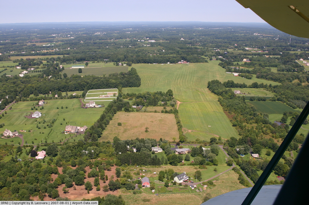
Philadelphia Gliderport Airport |

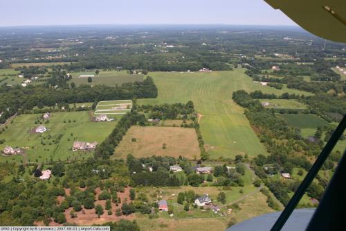 |
(Click on the photo to enlarge) |
Location & QuickFacts
| FAA Information Effective: | 2008-09-25 |
| Airport Identifier: | 0PA0 |
| Airport Status: | Operational |
| Longitude/Latitude: | 075-14-28.6280W/40-19-42.3790N
-75.241286/40.328439 (Estimated) |
| Elevation: | 670 ft / 204.22 m (Estimated) |
| Land: | 102 acres |
| From nearest city: | 1 nautical miles NW of Hilltown, PA |
| Location: | Bucks County, PA |
| Magnetic Variation: | 12W (1985) |
Owner & Manager
| Ownership: | Privately owned |
| Owner: | Philadelphia Gldr Council Inc |
| Address: | 934 Rt 152
Perkasie, PA 18944 |
| Phone number: | 215-822-9974 |
| Manager: | Arthur Millay |
| Address: | 934 Rt 152
Perkasie, PA 18944 |
| Phone number: | 215-822-2468 |
Airport Operations and Facilities
| Airport Use: | Private |
| Wind indicator: | Yes |
| Segmented Circle: | No |
| Control Tower: | No |
| Landing fee charge: | No |
| Sectional chart: | New York |
| Region: | AEA - Eastern |
| Boundary ARTCC: | ZNY - New York |
| Tie-in FSS: | IPT - Williamsport |
| FSS on Airport: | No |
| FSS Toll Free: | 1-800-WX-BRIEF |
Airport Services
| Airframe Repair: | NONE |
| Power Plant Repair: | NONE |
Runway Information
Runway 01/19
| Dimension: | 2450 x 300 ft / 746.8 x 91.4 m |
| Surface: | TURF, |
| |
Runway 01 |
Runway 19 |
| Traffic Pattern: | Left | Right |
|
Runway 07/25
| Dimension: | 2450 x 300 ft / 746.8 x 91.4 m |
| Surface: | TURF, |
| |
Runway 07 |
Runway 25 |
| Traffic Pattern: | Right | Left |
| Obstruction: | 25 ft pline, 400.0 ft from runway | , 10.0 ft from runway |
|
Runway 13/31
| Dimension: | 1800 x 200 ft / 548.6 x 61.0 m |
| Surface: | TURF, |
| |
Runway 13 |
Runway 31 |
| Traffic Pattern: | Right | Left |
| Obstruction: | | 60 ft trees, 200.0 ft from runway |
|
Radio Navigation Aids
| ID |
Type |
Name |
Ch |
Freq |
Var |
Dist |
| DYL | NDB | Doylestown | | 237.00 | 10W | 5.5 nm |
| UKT | NDB | Quakertown | | 208.00 | 12W | 6.3 nm |
| NXX | NDB | Willow Grove | | 388.00 | 12W | 9.5 nm |
| ING | NDB | Ambler | | 275.00 | 11W | 12.3 nm |
| LQX | NDB | Carbon | | 339.00 | 12W | 37.5 nm |
| CAT | NDB | Chatham | | 254.00 | 11W | 44.6 nm |
| NEL | NDB | Lakehurst | | 396.00 | 13W | 44.9 nm |
| NXX | TACAN | Willow Grove | 061X | | 10W | 9.2 nm |
| NEL | TACAN | Lakehurst | 055X | | 11W | 44.4 nm |
| NEL | UHF/NDB | Lakehurst | | 274.80 | 13W | 44.9 nm |
| PNE | VOR | North Philadelphia | | 112.00 | 10W | 18.2 nm |
| CKZ | VOR/DME | Pennridge | 025Y | 108.85 | 12W | 4.3 nm |
| ARD | VOR/DME | Yardley | 019X | 108.20 | 10W | 16.0 nm |
| ETX | VOR/DME | East Texas | 039X | 110.20 | 09W | 25.3 nm |
| SBJ | VOR/DME | Solberg | 076X | 112.90 | 10W | 27.5 nm |
| BWZ | VOR/DME | Broadway | 089X | 114.20 | 11W | 34.1 nm |
| STW | VOR/DME | Stillwater | 033X | 109.60 | 11W | 43.6 nm |
| COL | VOR/DME | Colts Neck | 101X | 115.40 | 11W | 49.6 nm |
| PTW | VORTAC | Pottstown | 112X | 116.50 | 09W | 16.0 nm |
| FJC | VORTAC | Allentown | 122X | 117.50 | 10W | 25.8 nm |
| MXE | VORTAC | Modena | 079X | 113.20 | 09W | 31.6 nm |
| RBV | VORTAC | Robbinsville | 085X | 113.80 | 10W | 35.1 nm |
| GXU | VORTAC | Mc Guire | 043X | 110.60 | 11W | 35.3 nm |
| OOD | VORTAC | Woodstown | 075X | 112.80 | 10W | 41.7 nm |
| DQO | VORTAC | Dupont | 087X | 114.00 | 10W | 42.6 nm |
| CYN | VORTAC | Coyle | 081X | 113.40 | 10W | 48.3 nm |
| VCN | VORTAC | Cedar Lake | 099X | 115.20 | 10W | 49.2 nm |
| LRP | VORTAC | Lancaster | 120X | 117.30 | 09W | 49.8 nm |
| PHL | VOT | Philadelphia Intl | | 109.80 | | 27.5 nm |
Remarks
Images and information placed above are from
http://www.airport-data.com/airport/0PA0/
We thank them for the data!
| General Info
|
| Country |
United States
|
| State |
PENNSYLVANIA
|
| FAA ID |
0PA0
|
| Latitude |
40-19-42.379N
|
| Longitude |
075-14-28.628W
|
| Elevation |
670 feet
|
| Near City |
HILLTOWN
|
We don't guarantee the information is fresh and accurate. The data may
be wrong or outdated.
For more up-to-date information please refer to other sources.
|
|