|
|
 |
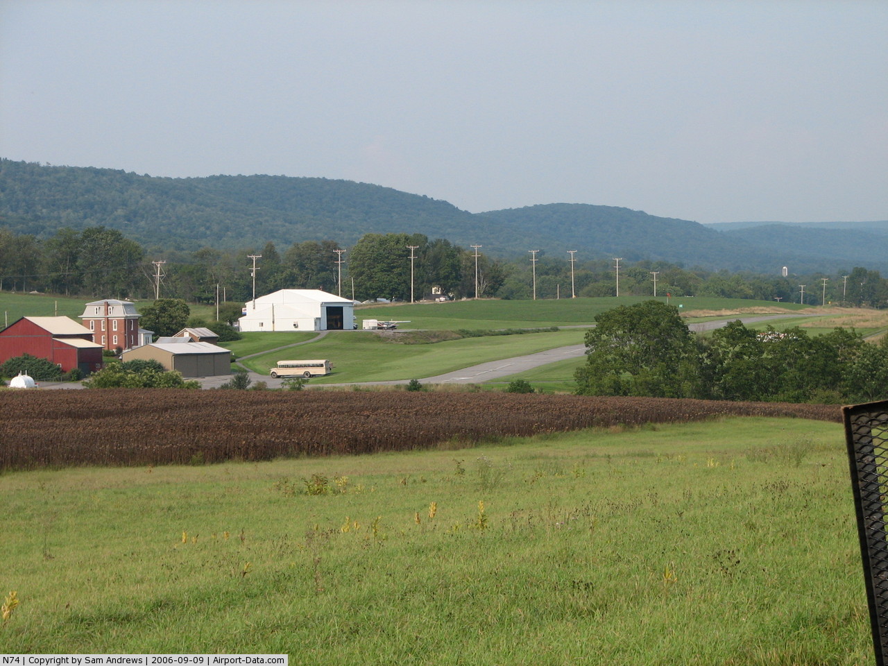
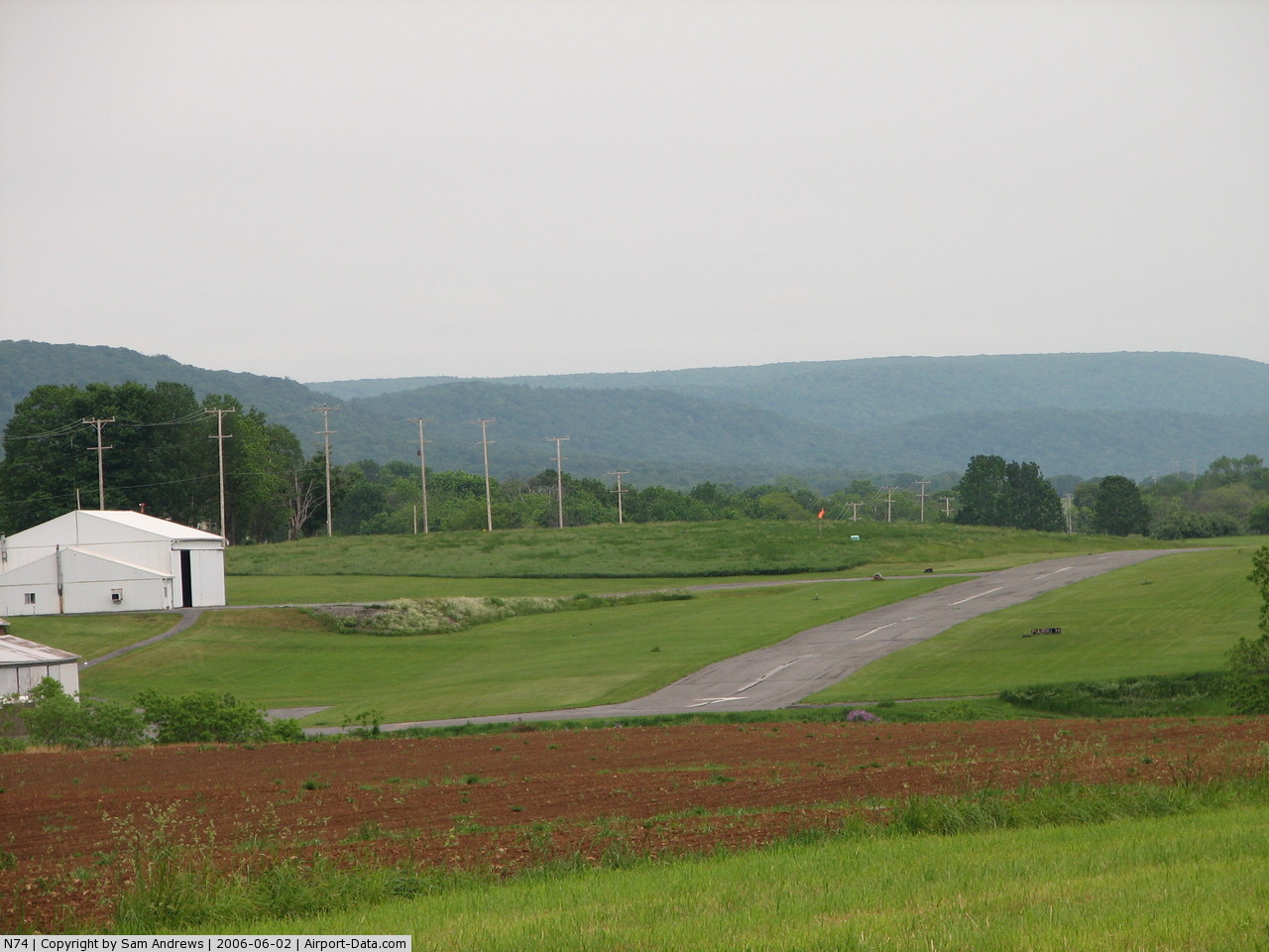
(Click on the photo to enlarge) |
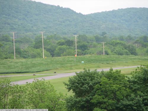 |
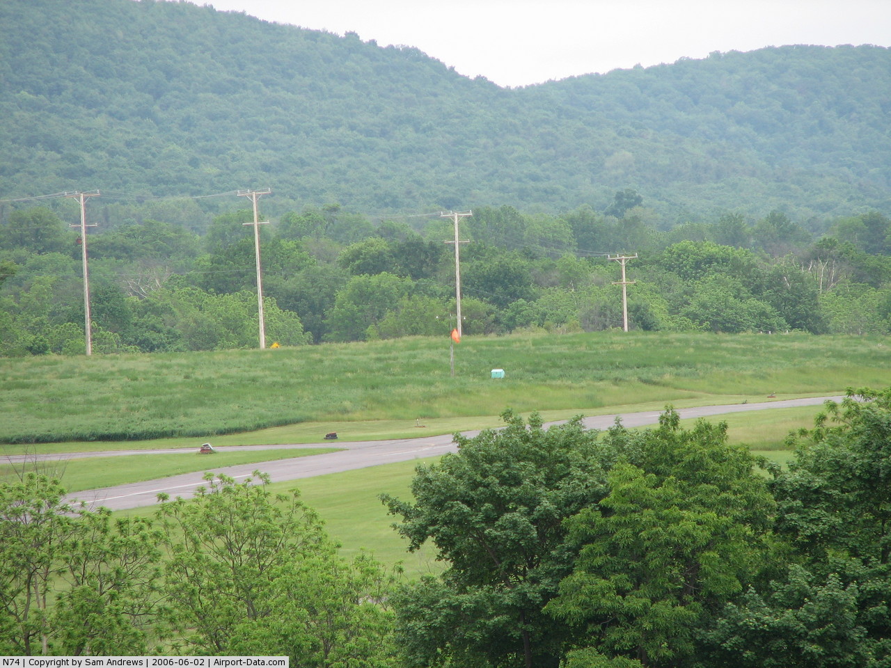
(Click on the photo to enlarge) |
 |
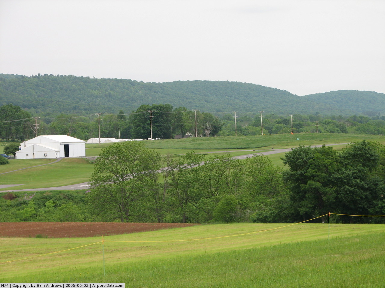
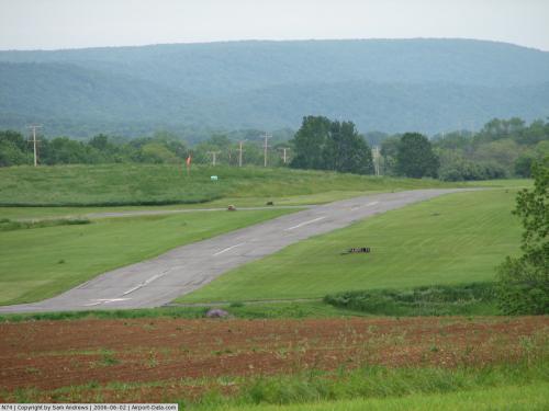
(Click on the photo to enlarge) |
 |
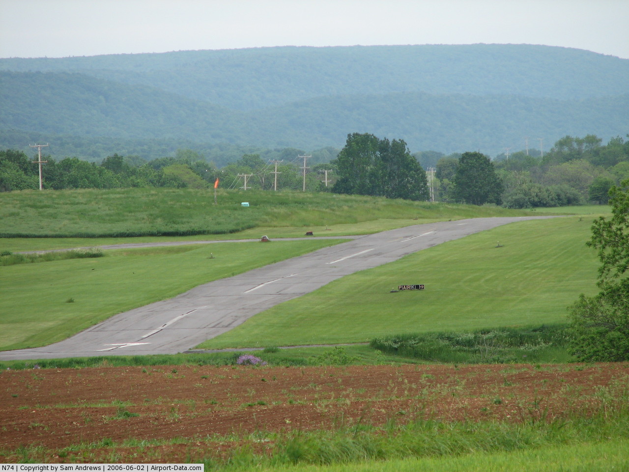
(Click on the photo to enlarge) |
 |
(Click on the photo to enlarge) |
Location & QuickFacts
| FAA Information Effective: | 2008-09-25 |
| Airport Identifier: | N74 |
| Airport Status: | Operational |
| Longitude/Latitude: | 077-36-08.9860W/40-53-25.2320N
-77.602496/40.890342 (Estimated) |
| Elevation: | 1260 ft / 384.05 m (Estimated) |
| Land: | 23 acres |
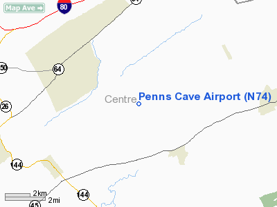
| From nearest city: | 4 nautical miles NE of Centre Hall, PA |
| Location: | Centre County, PA |
| Magnetic Variation: | 10W (1985) |
Owner & Manager
| Ownership: | Privately owned |
| Owner: | P.c. Avn Svc, Inc. |
| Address: | 3606 Lower Brush Valley Road
Centre Hall, PA 16828 |
| Phone number: | 814-364-1479 |
| Manager: | Russell E. Schleiden |
| Address: | 3606 Lower Brush Valley Road
Centre Hall, PA 16828 |
| Phone number: | 814-364-1479 |
Airport Operations and Facilities
| Airport Use: | Open to public |
| Wind indicator: | Yes |
| Segmented Circle: | No |
| Control Tower: | No |
| Landing fee charge: | No |
| Sectional chart: | Detroit |
| Region: | AEA - Eastern |
| Boundary ARTCC: | ZNY - New York |
| Tie-in FSS: | AOO - Altoona |
| FSS on Airport: | No |
| FSS Toll Free: | 1-800-WX-BRIEF |
| NOTAMs Facility: | AOO (NOTAM-d service avaliable) |
Airport Communications
| CTAF: | 122.800 |
| Unicom: | 122.800 |
Airport Services
| Airframe Repair: | NONE |
| Power Plant Repair: | NONE |
| Bulk Oxygen: | NONE |
Runway Information
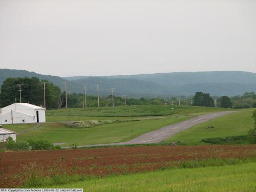
Runway 07/25
| Dimension: | 2500 x 40 ft / 762.0 x 12.2 m |
| Surface: | ASPH, Fair Condition |
| |
Runway 07 |
Runway 25 |
| Traffic Pattern: | Left | Left |
| Markings: | Basic, Poor Condition
RY 07/25 MKGS FADED. | Basic, Poor Condition |
| Obstruction: | 17 ft tree, 242.0 ft from runway, 78 ft left of centerline, 2:1 slope to clear
RY 07 HAS +2 FT BRUSH, 45 FT FM RY END, 20 FT L. | 42 ft tree, 927.0 ft from runway, 97 ft left of centerline, 17:1 slope to clear |
|
Radio Navigation Aids
| ID |
Type |
Name |
Ch |
Freq |
Var |
Dist |
| RV | NDB | Stroh | | 407.00 | 10W | 17.4 nm |
| PIX | NDB | Picture Rocks | | 344.00 | 09W | 46.6 nm |
| AOO | VOR | Altoona | | 108.80 | 07W | 46.7 nm |
| FQM | VOR/DME | Williamsport | 091X | 114.40 | 09W | 46.2 nm |
| SFK | VOR/DME | Stonyfork | 023X | 108.60 | 08W | 49.1 nm |
| PSB | VORTAC | Philipsburg | 102X | 115.50 | 10W | 17.8 nm |
| ETG | VORTAC | Keating | 107X | 116.00 | 10W | 31.3 nm |
| SEG | VORTAC | Selinsgrove | 041X | 110.40 | 08W | 33.2 nm |
| TON | VORTAC | Tyrone | 096X | 114.90 | 07W | 34.4 nm |
| SLT | VORTAC | Slate Run | 086X | 113.90 | 08W | 40.9 nm |
| HAR | VORTAC | Harrisburg | 072X | 112.50 | 10W | 42.9 nm |
| MIP | VORTAC | Milton | 029X | 109.20 | 09W | 43.3 nm |
| RAV | VORTAC | Ravine | 093X | 114.60 | 11W | 50.0 nm |
Remarks
- DEER ON & INVOF ARPT AT NIGHT.
- 750 FT AGL MTNS 1/2 MI S & 700 FT AGL MTN 1/2 MI N; BOTH UNLGTD & UNMKD.
- NO NIGHT OPERATIONS.
- USE IN VFR CONDITIONS ONLY.
Images and information placed above are from
http://www.airport-data.com/airport/N74/
We thank them for the data!
| General Info
|
| Country |
United States
|
| State |
PENNSYLVANIA
|
| FAA ID |
N74
|
| Latitude |
40-53-25.232N
|
| Longitude |
077-36-08.986W
|
| Elevation |
1260 feet
|
| Near City |
CENTRE HALL
|
We don't guarantee the information is fresh and accurate. The data may
be wrong or outdated.
For more up-to-date information please refer to other sources.
|
|