 |
|
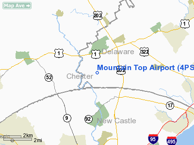
Location & QuickFacts
| FAA Information Effective: | 2008-09-25 |
| Airport Identifier: | 4PS4 |
| Airport Status: | Operational |
| Longitude/Latitude: | 075-34-21.7370W/39-51-15.3990N
-75.572705/39.854278 (Estimated) |
| Elevation: | 350 ft / 106.68 m (Estimated) |
| Land: | 6 acres |
| From nearest city: | 5 nautical miles E of Chadds Ford, PA |
| Location: | Delaware County, PA |
| Magnetic Variation: | 11W (1985) |
Owner & Manager
| Ownership: | Privately owned |
| Owner: | William F. Wallace |
| Address: | Rr2 Box 338
Thompson, PA 18465 |
| Phone number: | 570-727-2685 |
| Manager: | William F. Wallace |
| Address: | Rr2 Box 338
Thompson, PA 18465 |
| Phone number: | 570-727-2685 |
Airport Operations and Facilities
| Airport Use: | Private |
| Segmented Circle: | No |
| Control Tower: | No |
| Sectional chart: | Washington |
| Region: | AEA - Eastern |
| Boundary ARTCC: | ZDC - Washington |
| Responsible ARTCC: | ZNY - New York |
| Tie-in FSS: | IPT - Williamsport |
| FSS Toll Free: | 1-800-WX-BRIEF |
Runway Information
Runway 06/24
| Dimension: | 2500 x 100 ft / 762.0 x 30.5 m |
| Surface: | TURF, |
| |
Runway 06 |
Runway 24 |
| Traffic Pattern: | Left | Left |
|
Radio Navigation Aids
| ID |
Type |
Name |
Ch |
Freq |
Var |
Dist |
| ING | NDB | Ambler | | 275.00 | 11W | 21.0 nm |
| NXX | NDB | Willow Grove | | 388.00 | 12W | 28.2 nm |
| APG | NDB | Aberdeen | | 349.00 | 11W | 31.3 nm |
| RNB | NDB | Rainbow | | 363.00 | 11W | 33.1 nm |
| DYL | NDB | Doylestown | | 237.00 | 10W | 35.6 nm |
| UKT | NDB | Quakertown | | 208.00 | 12W | 36.6 nm |
| NXX | TACAN | Willow Grove | 061X | | 10W | 28.3 nm |
| DOV | TACAN | Dover | 037X | | 09W | 43.7 nm |
| MTN | TACAN | Martin | 068X | | 11W | 50.0 nm |
| PNE | VOR | North Philadelphia | | 112.00 | 10W | 29.3 nm |
| CKZ | VOR/DME | Pennridge | 025Y | 108.85 | 12W | 34.8 nm |
| PPM | VOR/DME | Phillips | 021X | 108.40 | 09W | 36.2 nm |
| ARD | VOR/DME | Yardley | 019X | 108.20 | 10W | 38.9 nm |
| ETX | VOR/DME | East Texas | 039X | 110.20 | 09W | 44.0 nm |
| MXE | VORTAC | Modena | 079X | 113.20 | 09W | 5.9 nm |
| DQO | VORTAC | Dupont | 087X | 114.00 | 10W | 10.7 nm |
| OOD | VORTAC | Woodstown | 075X | 112.80 | 10W | 18.1 nm |
| PTW | VORTAC | Pottstown | 112X | 116.50 | 09W | 22.1 nm |
| VCN | VORTAC | Cedar Lake | 099X | 115.20 | 10W | 33.9 nm |
| LRP | VORTAC | Lancaster | 120X | 117.30 | 09W | 36.7 nm |
| ENO | VORTAC | Smyrna | 051X | 111.40 | 09W | 37.5 nm |
| GXU | VORTAC | Mc Guire | 043X | 110.60 | 11W | 46.0 nm |
| PHL | VOT | Philadelphia Intl | | 109.80 | | 15.1 nm |
Images and information placed above are from
http://www.airport-data.com/airport/4PS4/
We thank them for the data!
| General Info
|
| Country |
United States
|
| State |
PENNSYLVANIA
|
| FAA ID |
4PS4
|
| Latitude |
39-51-15.399N
|
| Longitude |
075-34-21.737W
|
| Elevation |
350 feet
|
| Near City |
CHADDS FORD
|
We don't guarantee the information is fresh and accurate. The data may
be wrong or outdated.
For more up-to-date information please refer to other sources.
|
|


