 |
|
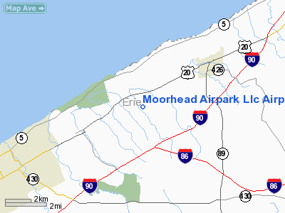
Moorhead Airpark Llc Airport |
Location & QuickFacts
| FAA Information Effective: | 2008-09-25 |
| Airport Identifier: | PN40 |
| Airport Status: | Operational |
| Longitude/Latitude: | 079-53-51.1860W/42-11-03.2050N
-79.897552/42.184224 (Estimated) |
| Elevation: | 805 ft / 245.36 m (Estimated) |
| Land: | 30 acres |
| From nearest city: | 3 nautical miles SW of North East, PA |
| Location: | Erie County, PA |
| Magnetic Variation: | 08W (1985) |
Owner & Manager
| Ownership: | Privately owned |
| Owner: | Mark W. Ahlgrim |
| Address: | 9245 S. Haskill Road
North East, PA 16428 |
| Phone number: | 814-725-4643
AIRPORT PHONE. |
| Manager: | Mark W. Ahlgrim |
| Address: | 9239 S. Haskill Road
North East, PA 16428 |
| Phone number: | 814-725-8380
HOME PHONE. |
Airport Operations and Facilities
| Airport Use: | Private |
| Wind indicator: | Yes |
| Segmented Circle: | No |
| Control Tower: | No |
| Landing fee charge: | No |
| Sectional chart: | Detroit |
| Region: | AEA - Eastern |
| Boundary ARTCC: | ZOB - Cleveland |
| Tie-in FSS: | AOO - Altoona |
| FSS on Airport: | No |
| FSS Toll Free: | 1-800-WX-BRIEF |
Airport Communications
Airport Services
| Airframe Repair: | MINOR |
| Power Plant Repair: | MINOR |
| Bottled Oxygen: | NONE |
| Bulk Oxygen: | NONE |
Runway Information
Runway 08/26
| Dimension: | 2085 x 200 ft / 635.5 x 61.0 m
200 FT SAFETY AREA ON WEST END. |
| Surface: | TURF-GRVL, Fair Condition
20 FT GRAVEL CENTER. |
| |
Runway 08 |
Runway 26 |
| Traffic Pattern: | Left | Left |
| Displaced threshold: | 570.00 ft | 0.00 ft |
| Obstruction: | 49 ft trees, 418.0 ft from runway, 139 ft left of centerline, 8:1 slope to clear
APCH RATIO 20:1 TO DSPLCD THLD. | 10 ft trail, 105.0 ft from runway, 10:1 slope to clear |
|
Radio Navigation Aids
| ID |
Type |
Name |
Ch |
Freq |
Var |
Dist |
| CQD | NDB | Cascade | | 372.00 | 08W | 10.0 nm |
| ORJ | NDB | Corry | | 258.00 | 09W | 19.8 nm |
| FKL | VOR | Franklin | | 109.60 | 06W | 44.9 nm |
| JHW | VOR/DME | Jamestown | 094X | 114.70 | 07W | 34.6 nm |
| JFN | VOR/DME | Jefferson | 099X | 115.20 | 05W | 45.8 nm |
| ERI | VORTAC | Erie | 031X | 109.40 | 06W | 20.3 nm |
| DKK | VORTAC | Dunkirk | 109X | 116.20 | 07W | 33.3 nm |
| TDT | VORTAC | Tidioute | 123X | 117.60 | 09W | 35.5 nm |
Remarks
- EXTSV PAJA.
- TURF SOFT & WET DURING SPRING THAW.
- DEER ON & INVOF RY.
- ARPT CLSD TO TRANSIENT ACFT NOV-APR.
- VFR ONLY
Images and information placed above are from
http://www.airport-data.com/airport/PN40/
We thank them for the data!
| General Info
|
| Country |
United States
|
| State |
PENNSYLVANIA
|
| FAA ID |
PN40
|
| Latitude |
42-11-03.205N
|
| Longitude |
079-53-51.186W
|
| Elevation |
805 feet
|
| Near City |
NORTH EAST
|
We don't guarantee the information is fresh and accurate. The data may
be wrong or outdated.
For more up-to-date information please refer to other sources.
|
|


