 |
|
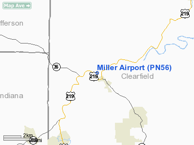
Location & QuickFacts
| FAA Information Effective: | 2008-09-25 |
| Airport Identifier: | PN56 |
| Airport Status: | Operational |
| Longitude/Latitude: | 078-44-21.1070W/40-53-07.2280N
-78.739196/40.885341 (Estimated) |
| Elevation: | 1540 ft / 469.39 m (Estimated) |
| Land: | 0 acres |
| From nearest city: | 1 nautical miles NW of Mahaffey, PA |
| Location: | Clearfield County, PA |
| Magnetic Variation: | 09W (1985) |
Owner & Manager
| Ownership: | Privately owned |
| Owner: | Eunice S. Miller |
| Address: | Po Box 132 Market Street
Mahaffey, PA 15757 |
| Phone number: | 814-277-6460 |
| Address: |
|
Airport Operations and Facilities
| Airport Use: | Private |
| Wind indicator: | No |
| Segmented Circle: | No |
| Control Tower: | No |
| Landing fee charge: | No |
| Sectional chart: | Detroit |
| Region: | AEA - Eastern |
| Boundary ARTCC: | ZOB - Cleveland |
| Tie-in FSS: | AOO - Altoona |
| FSS on Airport: | No |
| FSS Toll Free: | 1-800-WX-BRIEF |
Airport Services
| Airframe Repair: | NONE |
| Power Plant Repair: | NONE |
Runway Information
Runway 01/19
| Dimension: | 2500 x 60 ft / 762.0 x 18.3 m |
| Surface: | TURF, |
| |
Runway 01 |
Runway 19 |
| Traffic Pattern: | Left | Left |
|
Runway 10/28
| Dimension: | 2000 x 60 ft / 609.6 x 18.3 m |
| Surface: | GRAVEL, |
| |
Runway 10 |
Runway 28 |
| Traffic Pattern: | Left | Left |
|
Radio Navigation Aids
| ID |
Type |
Name |
Ch |
Freq |
Var |
Dist |
| INP | NDB | Indiana | | 242.00 | 08W | 21.3 nm |
| BHU | NDB | Benje | | 382.00 | 07W | 39.1 nm |
| SYS | NDB | Stoystown | | 209.00 | 08W | 48.7 nm |
| RV | NDB | Stroh | | 407.00 | 10W | 49.3 nm |
| AOO | VOR | Altoona | | 108.80 | 07W | 39.1 nm |
| REC | VOR/DME | Revloc | 043X | 110.60 | 09W | 20.4 nm |
| CIP | VOR/DME | Clarion | 076X | 112.90 | 06W | 36.2 nm |
| TON | VORTAC | Tyrone | 096X | 114.90 | 07W | 20.6 nm |
| ETG | VORTAC | Keating | 107X | 116.00 | 10W | 33.5 nm |
| PSB | VORTAC | Philipsburg | 102X | 115.50 | 10W | 34.0 nm |
| JST | VORTAC | Johnstown | 077X | 113.00 | 06W | 34.5 nm |
Remarks
- HEAVY OR EXCESSIVE RAIN, SPRING THAWING-FIELD SOFTENS.
- DEER GRAZE ON AND NEAR RWY.
- PROVIDED N/S RWY RSTD TO LNDG TO N & TKOF TO S.
Images and information placed above are from
http://www.airport-data.com/airport/PN56/
We thank them for the data!
| General Info
|
| Country |
United States
|
| State |
PENNSYLVANIA
|
| FAA ID |
PN56
|
| Latitude |
40-53-07.228N
|
| Longitude |
078-44-21.107W
|
| Elevation |
1540 feet
|
| Near City |
MAHAFFEY
|
We don't guarantee the information is fresh and accurate. The data may
be wrong or outdated.
For more up-to-date information please refer to other sources.
|
|


