 |
|
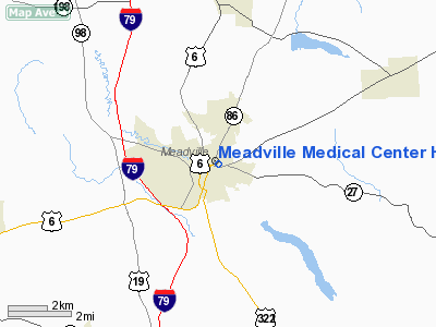
Meadville Medical Center Heliport |
Location & QuickFacts
| FAA Information Effective: | 2008-09-25 |
| Airport Identifier: | 45PA |
| Airport Status: | Operational |
| Longitude/Latitude: | 080-08-45.2130W/41-38-28.1970N
-80.145893/41.641166 (Estimated) |
| Elevation: | 1125 ft / 342.90 m (Estimated) |
| Land: | 0 acres |
| From nearest city: | 0 nautical miles N of Meadville, PA |
| Location: | Crawford County, PA |
| Magnetic Variation: | 08W (1995) |
Owner & Manager
| Ownership: | Privately owned |
| Owner: | Meadville Medical Center |
| Address: | 751 Liberty Street
Meadville, PA 16335 |
| Phone number: | 814-333-5000 |
| Manager: | Jane Pickens |
| Address: | 751 Liberty Street
Meadville, PA 16335 |
| Phone number: | 814-333-5449 |
Airport Operations and Facilities
| Airport Use: | Private
MEDICAL USE. |
| Wind indicator: | Yes |
| Segmented Circle: | No |
| Control Tower: | No |
| Lighting Schedule: | PHONE REQ
FOR PERIMETER LGTS CALL 814-333-5449. |
| Sectional chart: | Detroit |
| Region: | AEA - Eastern |
| Boundary ARTCC: | ZOB - Cleveland |
| Tie-in FSS: | AOO - Altoona |
| FSS on Airport: | No |
| FSS Toll Free: | 1-800-WX-BRIEF |
Runway Information
Helipad H1
| Dimension: | 27 x 27 ft / 8.2 x 8.2 m |
| Surface: | ASPH, |
| |
Runway H1 |
Runway |
| Traffic Pattern: | Left | Left |
|
Radio Navigation Aids
| ID |
Type |
Name |
Ch |
Freq |
Var |
Dist |
| ORJ | NDB | Corry | | 258.00 | 09W | 27.6 nm |
| CQD | NDB | Cascade | | 372.00 | 08W | 28.8 nm |
| HBD | NDB | Hubbard | | 408.00 | 08W | 34.1 nm |
| UCP | NDB | Castle | | 272.00 | 09W | 39.1 nm |
| FKL | VOR | Franklin | | 109.60 | 06W | 17.8 nm |
| JFN | VOR/DME | Jefferson | 099X | 115.20 | 05W | 28.0 nm |
| CIP | VOR/DME | Clarion | 076X | 112.90 | 06W | 43.0 nm |
| CXR | VOR/DME | Chardon | 074X | 112.70 | 05W | 46.3 nm |
| ERI | VORTAC | Erie | 031X | 109.40 | 06W | 23.6 nm |
| YNG | VORTAC | Youngstown | 027X | 109.00 | 05W | 30.2 nm |
| TDT | VORTAC | Tidioute | 123X | 117.60 | 09W | 33.0 nm |
| EWC | VORTAC | Ellwood City | 105X | 115.80 | 08W | 49.1 nm |
Remarks
- ROOFTOP.
- PRVDD LARGEST CLASS OF ACFT WEIGHS LESS THAN 12,500 LBS; IFR OPNS NOT CONDUCTED; APROP MARKINGS AND WINDSOCK BE INSTALLED; USERS BE AWARE OF CLOSE PROXIMITY OF PORT MEADVILLE ARPT.
Images and information placed above are from
http://www.airport-data.com/airport/45PA/
We thank them for the data!
| General Info
|
| Country |
United States
|
| State |
PENNSYLVANIA
|
| FAA ID |
45PA
|
| Latitude |
41-38-28.197N
|
| Longitude |
080-08-45.213W
|
| Elevation |
1125 feet
|
| Near City |
MEADVILLE
|
We don't guarantee the information is fresh and accurate. The data may
be wrong or outdated.
For more up-to-date information please refer to other sources.
|
|


