 |
|
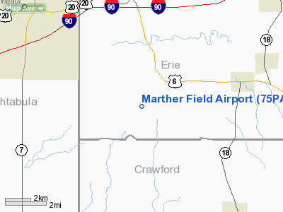
Location & QuickFacts
| FAA Information Effective: | 2008-09-25 |
| Airport Identifier: | 75PA |
| Airport Status: | Operational |
| Longitude/Latitude: | 080-27-32.2480W/41-52-23.2000N
-80.458958/41.873111 (Estimated) |
| Elevation: | 950 ft / 289.56 m (Estimated) |
| Land: | 131 acres |
| From nearest city: | 5 nautical miles NW of Albion, PA |
| Location: | Erie County, PA |
| Magnetic Variation: | 08W (1985) |
Owner & Manager
| Ownership: | Privately owned |
| Owner: | Thomas L Marther |
| Address: | Rd 1
Albion, PA 16401 |
| Phone number: | 814-756-4787 |
| Manager: | Thomas L Marther |
| Address: | Rd 1
Albion, PA 16401 |
| Phone number: | 814-756-4787 |
Airport Operations and Facilities
| Airport Use: | Private |
| Wind indicator: | Yes |
| Segmented Circle: | No |
| Control Tower: | No |
| Landing fee charge: | No |
| Sectional chart: | Detroit |
| Region: | AEA - Eastern |
| Boundary ARTCC: | ZOB - Cleveland |
| Tie-in FSS: | AOO - Altoona |
| FSS on Airport: | No |
| FSS Toll Free: | 1-800-WX-BRIEF |
Runway Information
Runway E/W
| Dimension: | 2200 x 100 ft / 670.6 x 30.5 m |
| Surface: | TURF, Good Condition |
| |
Runway E |
Runway W |
| Traffic Pattern: | Left | Left |
| Obstruction: | 30 ft trees, 50.0 ft from runway | |
|
Runway N/S
| Dimension: | 1950 x 100 ft / 594.4 x 30.5 m |
| Surface: | TURF, Good Condition |
| |
Runway N |
Runway S |
| Traffic Pattern: | Left | Left |
|
Radio Navigation Aids
| ID |
Type |
Name |
Ch |
Freq |
Var |
Dist |
| CQD | NDB | Cascade | | 372.00 | 08W | 21.7 nm |
| ORJ | NDB | Corry | | 258.00 | 09W | 36.3 nm |
| LQL | NDB | Lakeland | | 263.00 | 08W | 42.8 nm |
| HBD | NDB | Hubbard | | 408.00 | 08W | 43.4 nm |
| FKL | VOR | Franklin | | 109.60 | 06W | 37.6 nm |
| JFN | VOR/DME | Jefferson | 099X | 115.20 | 05W | 14.6 nm |
| CXR | VOR/DME | Chardon | 074X | 112.70 | 05W | 38.2 nm |
| LNN | VOR/DME | Lost Nation | 039X | 110.20 | 08W | 43.2 nm |
| ERI | VORTAC | Erie | 031X | 109.40 | 06W | 11.4 nm |
| YNG | VORTAC | Youngstown | 027X | 109.00 | 05W | 34.0 nm |
| TDT | VORTAC | Tidioute | 123X | 117.60 | 09W | 47.7 nm |
Images and information placed above are from
http://www.airport-data.com/airport/75PA/
We thank them for the data!
| General Info
|
| Country |
United States
|
| State |
PENNSYLVANIA
|
| FAA ID |
75PA
|
| Latitude |
41-52-23.200N
|
| Longitude |
080-27-32.248W
|
| Elevation |
950 feet
|
| Near City |
ALBION
|
We don't guarantee the information is fresh and accurate. The data may
be wrong or outdated.
For more up-to-date information please refer to other sources.
|
|


