 |
|
Location & QuickFacts
| FAA Information Effective: | 2008-09-25 |
| Airport Identifier: | PA45 |
| Airport Status: | Operational |
| Longitude/Latitude: | 076-55-58.8710W/41-25-00.2770N
-76.933020/41.416744 (Estimated) |
| Elevation: | 1320 ft / 402.34 m (Estimated) |
| Land: | 0 acres |
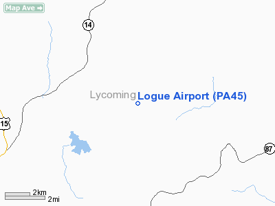
| From nearest city: | 3 nautical miles SE of Bodines, PA |
| Location: | Lycoming County, PA |
| Magnetic Variation: | 11W (1985) |
Owner & Manager
| Ownership: | Privately owned |
| Owner: | Christopher A Logue |
| Address: | 1261 Logue Hill Road
Trout Run, PA 17771 |
| Manager: | Christopher A Logue |
| Address: | 1261 Logue Hill Road
Trout Run, PA 17771 |
Airport Operations and Facilities
| Airport Use: | Private |
| Wind indicator: | No |
| Segmented Circle: | No |
| Control Tower: | No |
| Landing fee charge: | No |
| Sectional chart: | New York |
| Region: | AEA - Eastern |
| Boundary ARTCC: | ZNY - New York |
| Tie-in FSS: | IPT - Williamsport |
| FSS on Airport: | No |
| FSS Toll Free: | 1-800-WX-BRIEF |
Airport Services
| Airframe Repair: | NONE |
| Power Plant Repair: | NONE |
Runway Information
Runway 18/36
| Dimension: | 1400 x 100 ft / 426.7 x 30.5 m |
| Surface: | TURF, |
| |
Runway 18 |
Runway 36 |
| Traffic Pattern: | Left | Left |
|
Radio Navigation Aids
| ID |
Type |
Name |
Ch |
Freq |
Var |
Dist |
| PIX | NDB | Picture Rocks | | 344.00 | 09W | 13.1 nm |
| HXM | NDB | Humbolt | | 366.00 | 10W | 49.5 nm |
| ALP | NDB | Alpine | | 245.00 | 12W | 50.0 nm |
| HZL | VOR | Hazleton | | 109.40 | 09W | 45.1 nm |
| FQM | VOR/DME | Williamsport | 091X | 114.40 | 09W | 8.5 nm |
| SFK | VOR/DME | Stonyfork | 023X | 108.60 | 08W | 27.6 nm |
| ULW | VOR/DME | Elmira | 033Y | 109.65 | 12W | 40.9 nm |
| MIP | VORTAC | Milton | 029X | 109.20 | 09W | 26.6 nm |
| SEG | VORTAC | Selinsgrove | 041X | 110.40 | 08W | 37.7 nm |
| SLT | VORTAC | Slate Run | 086X | 113.90 | 08W | 47.1 nm |
Remarks
- DOWNHILL GRADE RWY 18; UPHILL RWY 36
Images and information placed above are from
http://www.airport-data.com/airport/PA45/
We thank them for the data!
| General Info
|
| Country |
United States
|
| State |
PENNSYLVANIA
|
| FAA ID |
PA45
|
| Latitude |
41-25-00.277N
|
| Longitude |
076-55-58.871W
|
| Elevation |
1320 feet
|
| Near City |
BODINES
|
We don't guarantee the information is fresh and accurate. The data may
be wrong or outdated.
For more up-to-date information please refer to other sources.
|
|


