|
|
Joseph A. Hardy Connellsville Airport |
| Joseph A. Hardy Connellsville Airport |
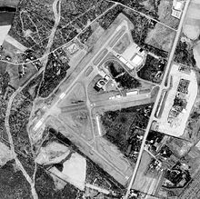 |
| USGS image as of 11 April 1993 |
| IATA: none – ICAO: KVVS – FAA LID: VVS |
| Summary |
| Airport type |
Public |
| Owner/Operator |
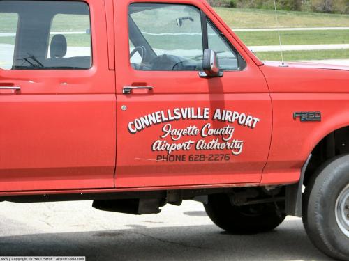
Fayette County Airport Authority |
| Serves |
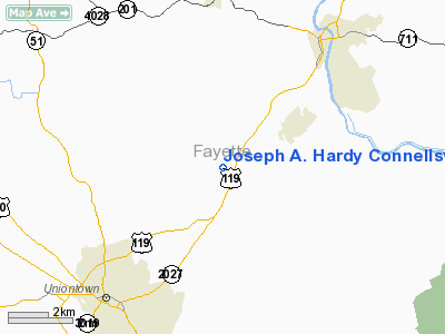
Connellsville, Pennsylvania |
| Location |
Dunbar Township, Fayette County, Pennsylvania |
| Elevation AMSL |
1,267 ft / 386 m |
| Coordinates |
39°57′33″N 079°39′26″W / 39.95917°N 79.65722°W / 39.95917; -79.65722 |
| Runways |
| Direction |
Length |
Surface |
| ft |
m |
| 5/23 |
3,458 |
1,054 |
Asphalt |
| 14/32 |
2,404 |
733 |
Asphalt |
| Statistics (2007) |
| Aircraft operations |
18,500 |
| Based aircraft |
48 |
| Source: Federal Aviation Administration |
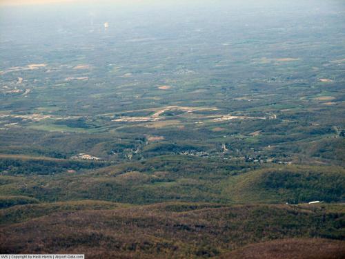
Joseph A. Hardy Connellsville Airport (ICAO: KVVS, FAA LID: VVS, formerly 2G3) is a public-use airport located four nautical miles (7 km) southwest of the central business district of Connellsville, a city in Fayette County, Pennsylvania, United States. It is owned by the Fayette County Airport Authority. The airport serves the general aviation community, with no scheduled commercial airline service.
The airport is named for Joseph A. Hardy, founder of 84 Lumber. Previously known as Connellsville Airport, it was renamed in 2007 to recognize Hardy's support of improving the airport. Hardy, also a Fayette County Commissioner, gave the airport authority $800,000 for runway improvements.
Although most U.S. airports use the same three-letter location identifier for the FAA and IATA, this airport is assigned VVS by the FAA but has no designation from the IATA. History
Opened in April 1940, during World War II the airport was used by the United States Army Air Force Air Technical Service Command as a sub-depot of the Middletown Air Depot near Harrisburg.
Opened on 1 July 1941, the 805th Army Air Forces Specialized Depot repaired and overhauled aircraft and returned them to active service. With the winding down of the war effort during the summer of 1945, the Air Force closed its facilities at Connellsville on 1 June 1945.
Facilities and aircraft
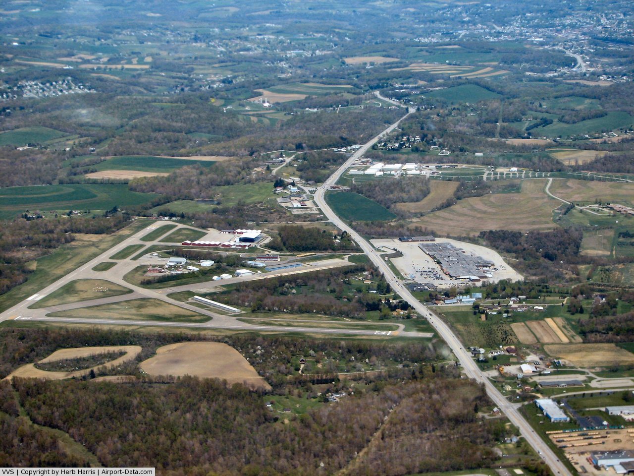
Joseph A. Hardy Connellsville Airport covers an area of 351 acres (142 ha) at an elevation of 1,267 feet (386 m) above mean sea level. It has two asphalt paved runways: 5/23 is 3,458 by 100 feet (1,054 x 30 m) and 14/32 measures 2,404 by 100 feet (733 x 30 m).
For the 12-month period ending August 30, 2007, the airport had 18,500 aircraft operations, an average of 50 per day: 82% general aviation, 9% air taxi and 9% military. At that time there were 48 aircraft based at this airport: 77% single-engine, 13% multi-engine, 4% helicopter and 6% ultralight.
The above content comes from Wikipedia and is published under free licenses – click here to read more.
 |
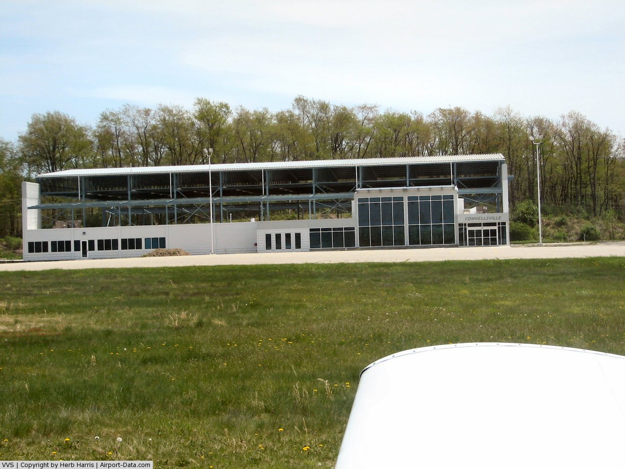
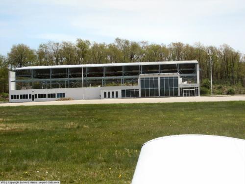
(Click on the photo to enlarge) |
 |
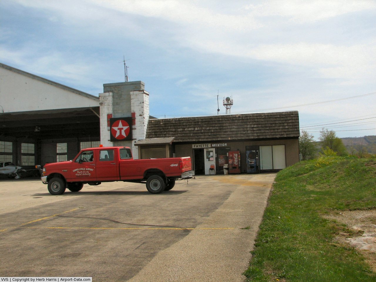
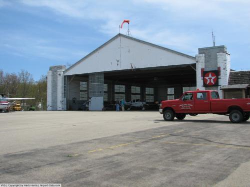
(Click on the photo to enlarge) |
 |
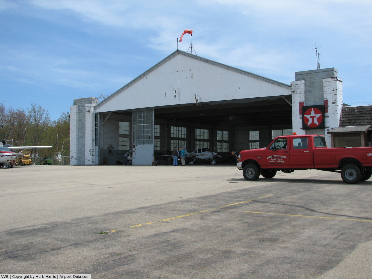
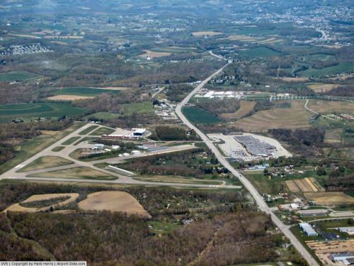
(Click on the photo to enlarge) |
 |
(Click on the photo to enlarge) |
 |
(Click on the photo to enlarge) |
 |
(Click on the photo to enlarge) |
Location & QuickFacts
| FAA Information Effective: | 2008-09-25 |
| Airport Identifier: | VVS |
| Airport Status: | Operational |
| Longitude/Latitude: | 079-39-25.6980W/39-57-33.0010N
-79.657138/39.959167 (Estimated) |
| Elevation: | 1267 ft / 386.18 m (Surveyed) |
| Land: | 351 acres |
| From nearest city: | 4 nautical miles SW of Connellsville, PA |
| Location: | Fayette County, PA |
| Magnetic Variation: | 08W (1990) |
Owner & Manager
| Ownership: | Publicly owned |
| Owner: | Fayette County Airport Authority |
| Address: | 988 Sky Drive
Lemont Furnace, PA 15456 |
| Phone number: | 724-628-2276 |
| Manager: | Sam Cortis |
| Address: | 988 Sky Drive
Lemont Furnace, PA 15456 |
| Phone number: | 724-628-2276 |
Airport Operations and Facilities
| Airport Use: | Open to public |
| Wind indicator: | Yes |
| Segmented Circle: | Yes |
| Control Tower: | No |
| Lighting Schedule: | DUSK-DAWN
ACTVT MIRL RYS 05/23 & 14/32 - CTAF. |
| Beacon Color: | Clear-Green (lighted land airport) |
| Landing fee charge: | Yes
LDG FEE FOR ALL ACFT OVER 6000 LBS GWT; WAIVED FOR FUEL PURCHASE. |
| Sectional chart: | Cincinnati |
| Region: | AEA - Eastern |
| Traffic Pattern Alt: | 800 ft |
| Boundary ARTCC: | ZOB - Cleveland |
| Tie-in FSS: | AOO - Altoona |
| FSS on Airport: | No |
| FSS Toll Free: | 1-800-WX-BRIEF |
| NOTAMs Facility: | AOO (NOTAM-d service avaliable) |
| Federal Agreements: | NGRY |
Airport Communications
| CTAF: | 122.800 |
| Unicom: | 122.800 |
Airport Services
| Fuel available: | 100LLA |
| Airframe Repair: | MINOR |
| Power Plant Repair: | MINOR |
Runway Information
Runway 05/23
| Dimension: | 3458 x 100 ft / 1054.0 x 30.5 m |
| Surface: | ASPH, Fair Condition |
| Weight Limit: | Single wheel: 12500 lbs. |
| Edge Lights: | Medium |
| |
Runway 05 |
Runway 23 |
| Longitude: | 079-39-41.2450W | 079-39-12.3370W |
| Latitude: | 39-57-27.1580N | 39-57-53.0920N |
| Elevation: | 1223.00 ft | 1265.00 ft |
| Alignment: | 41 | 127 |
| ILS Type: | LOCALIZER
| |
| Traffic Pattern: | Left | Left |
| Markings: | Non-precision instrument, Fair Condition
RY 05 MARKING FADED. | Basic, Fair Condition |
| Crossing Height: | 40.00 ft | 20.00 ft |
| VASI: | 2-light PAPI on left side | 2-light PAPI on right side |
| Visual Glide Angle: | 3.00° | 3.00° |
| Runway End Identifier: | Yes | |
| Obstruction: | 3 ft brush, 219.0 ft from runway, 83 ft right of centerline, 6:1 slope to clear
RY 05 HAS +6 FT BRUSH, 189 FT FM THLD, 83 FT RT. | 12 ft brush, 350.0 ft from runway, 227 ft right of centerline, 12:1 slope to clear
RY 23 HAS +19 FT TREES, 83 FT FM THLD, 232 FT RT. |
|
Runway 14/32
| Dimension: | 2404 x 100 ft / 732.7 x 30.5 m |
| Surface: | ASPH, Fair Condition |
| Weight Limit: | Single wheel: 12500 lbs. |
| Edge Lights: | Medium |
| |
Runway 14 |
Runway 32 |
| Longitude: | 079-39-35.8300W | 079-39-12.4200W |
| Latitude: | 39-57-30.5000N | 39-57-15.0100N |
| Elevation: | 1228.00 ft | 1236.00 ft |
| Alignment: | 127 | 127 |
| Traffic Pattern: | Left | Left |
| Markings: | Basic, Good Condition
RY 14/32 MKGS FADED. | Basic, Good Condition
RWY 32 MARKINGS FADED |
| Crossing Height: | 40.00 ft | 0.00 ft |
| VASI: | 2-light PAPI on left side | |
| Visual Glide Angle: | 3.00° | 0.00° |
| Obstruction: | 10 ft trees, 331.0 ft from runway, 116 ft right of centerline, 12:1 slope to clear | 21 ft trees, 323.0 ft from runway, 121 ft left of centerline, 5:1 slope to clear |
|
Radio Navigation Aids
| ID |
Type |
Name |
Ch |
Freq |
Var |
Dist |
| VV | NDB | Camor | | 299.00 | 08W | 6.1 nm |
| MKP | NDB | Mc Keesport | | 287.00 | 07W | 24.5 nm |
| PNU | NDB | Washington County | | 255.00 | 08W | 25.8 nm |
| BHU | NDB | Benje | | 382.00 | 07W | 30.7 nm |
| SYS | NDB | Stoystown | | 209.00 | 08W | 34.9 nm |
| CBE | NDB | Cumberland | | 317.00 | 07W | 46.0 nm |
| INP | NDB | Indiana | | 242.00 | 08W | 48.7 nm |
| AGC | VOR/DME | Allegheny | 037X | 110.00 | 09W | 26.1 nm |
| GRV | VOR/DME | Grantsville | 070X | 112.30 | 06W | 34.1 nm |
| HLG | VOR/DME | Wheeling | 059X | 112.20 | 07W | 45.6 nm |
| IHD | VORTAC | Indian Head | 019X | 108.20 | 06W | 13.8 nm |
| MGW | VORTAC | Morgantown | 053X | 111.60 | 05W | 26.0 nm |
| MMJ | VORTAC | Montour | 057X | 112.00 | 08W | 40.2 nm |
| JST | VORTAC | Johnstown | 077X | 113.00 | 06W | 43.5 nm |
Remarks
- RWY 05 HAS A 110 FT RELOCATED THLD; RWY 23 HAS A 265 FT RELOCATED THLD; FOR TAXI ONLY.
- RWY 14 HAS A 315 FT RELOCATED THLD; RWY 32 HAS A 260 FT RELOCATED THLD; FOR TAXI ONLY.
- IN OPER PRIOR TO 1959.
Images and information placed above are from
http://www.airport-data.com/airport/VVS/
We thank them for the data!
| General Info
|
| Country |
United States
|
| State |
PENNSYLVANIA
|
| FAA ID |
VVS
|
| Latitude |
39-57-32.172N
|
| Longitude |
079-39-25.679W
|
| Elevation |
1267 feet
|
| Near City |
CONNELLSVILLE
|
We don't guarantee the information is fresh and accurate. The data may
be wrong or outdated.
For more up-to-date information please refer to other sources.
|
|