|
|
 |
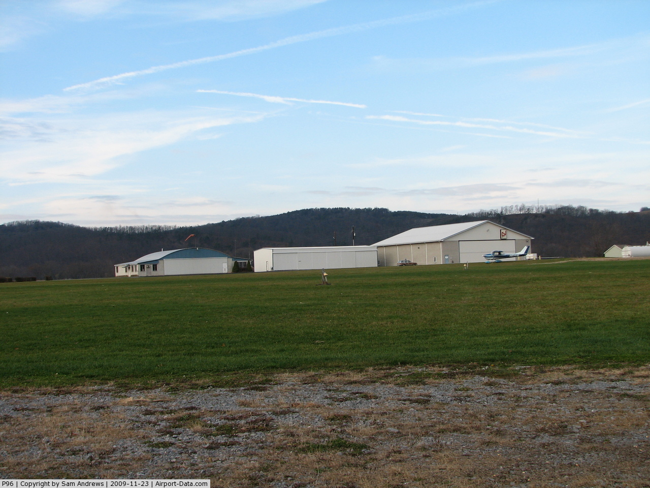
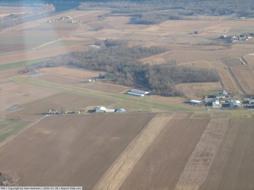
(Click on the photo to enlarge) |
 |
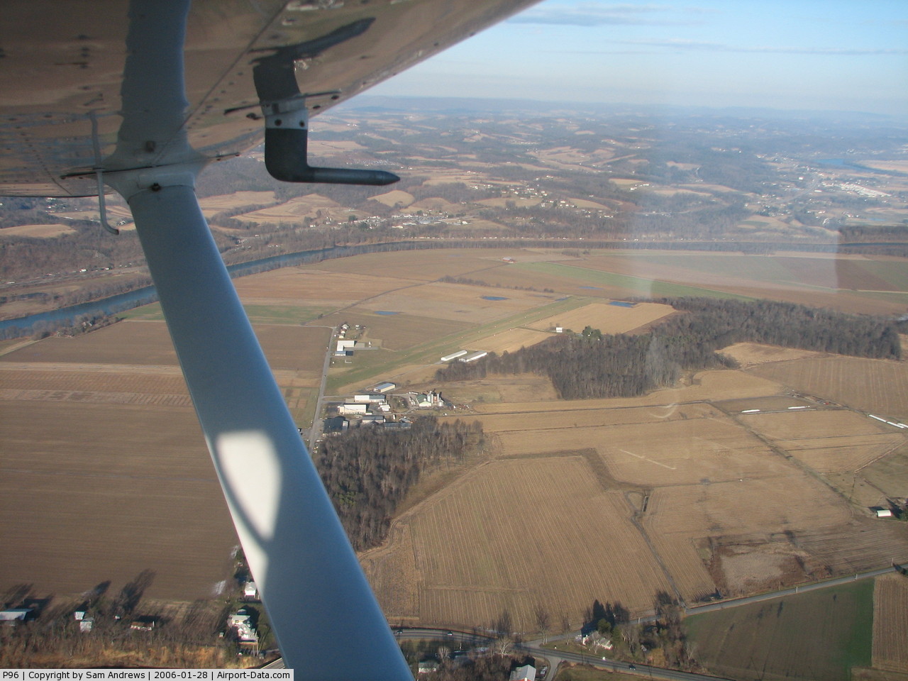
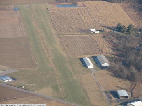
(Click on the photo to enlarge) |
 |
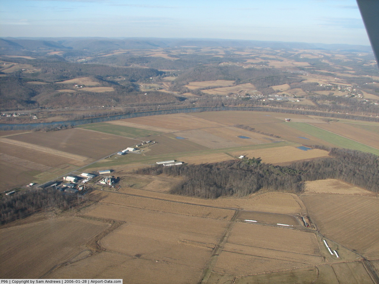
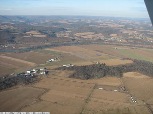
(Click on the photo to enlarge) |
 |
(Click on the photo to enlarge) |
 |
(Click on the photo to enlarge) |
Location & QuickFacts
| FAA Information Effective: | 2008-09-25 |
| Airport Identifier: | P96 |
| Airport Status: | Operational |
| Longitude/Latitude: | 077-13-33.8910W/41-12-25.2640N
-77.226081/41.207018 (Estimated) |
| Elevation: | 547 ft / 166.73 m (Estimated) |
| Land: | 15 acres |
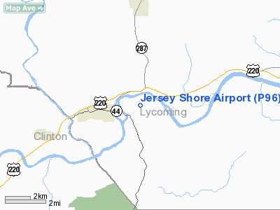
| From nearest city: | 2 nautical miles E of Jersey Shore, PA |
| Location: | Lycoming County, PA |
| Magnetic Variation: | 11W (2005) |
Owner & Manager
| Ownership: | Privately owned |
| Owner: | Thomas Dunlap |
| Address: | 1181 Pine Creek Ave
Jersey Shore, PA 17740 |
| Phone number: | 570-398-1391 |
| Manager: | Thomas Dunlap |
| Address: | 1181 Pine Creek Ave
Jersey Shore, PA 17740 |
| Phone number: | 570-398-1391
CELL PHONE 570-279-1025. |
Airport Operations and Facilities
| Airport Use: | Open to public |
| Wind indicator: | Yes |
| Segmented Circle: | No |
| Control Tower: | No |
| Lighting Schedule: | RDO-CTL
ACTVT LIRL RY 09/27 & WIND INDICATOR - CTAF. |
| Beacon Color: | Clear-Green (lighted land airport) |
| Landing fee charge: | No |
| Sectional chart: | Detroit |
| Region: | AEA - Eastern |
| Boundary ARTCC: | ZNY - New York |
| Tie-in FSS: | IPT - Williamsport |
| FSS on Airport: | No |
| FSS Toll Free: | 1-800-WX-BRIEF |
| NOTAMs Facility: | IPT (NOTAM-d service avaliable) |
Airport Communications
| CTAF: | 122.700 |
| Unicom: | 122.700 |
Airport Services
| Airframe Repair: | MINOR |
| Power Plant Repair: | MINOR |
| Bottled Oxygen: | NONE |
| Bulk Oxygen: | NONE |
Runway Information
Runway 09/27
| Dimension: | 3060 x 130 ft / 932.7 x 39.6 m |
| Surface: | TURF, Good Condition |
| Edge Lights: | Low |
| |
Runway 09 |
Runway 27 |
| Traffic Pattern: | Left | Left |
| Displaced threshold: | 300.00 ft
RY 09 DSPLCD THR MKD WITH STD LGTG. | 0.00 ft |
| Obstruction: | 16 ft road, 65.0 ft from runway, 62 ft left of centerline, 4:1 slope to clear
RWY 09 APCH RATIO 22:1 TO DSPLCD THLD. | 11 ft road, 50:1 slope to clear |
|
Radio Navigation Aids
| ID |
Type |
Name |
Ch |
Freq |
Var |
Dist |
| PIX | NDB | Picture Rocks | | 344.00 | 09W | 23.7 nm |
| RV | NDB | Stroh | | 407.00 | 10W | 42.0 nm |
| FQM | VOR/DME | Williamsport | 091X | 114.40 | 09W | 21.9 nm |
| SFK | VOR/DME | Stonyfork | 023X | 108.60 | 08W | 30.6 nm |
| MIP | VORTAC | Milton | 029X | 109.20 | 09W | 27.7 nm |
| SEG | VORTAC | Selinsgrove | 041X | 110.40 | 08W | 29.4 nm |
| SLT | VORTAC | Slate Run | 086X | 113.90 | 08W | 38.3 nm |
| PSB | VORTAC | Philipsburg | 102X | 115.50 | 10W | 38.9 nm |
| ETG | VORTAC | Keating | 107X | 116.00 | 10W | 41.5 nm |
| RAV | VORTAC | Ravine | 093X | 114.60 | 11W | 48.5 nm |
Remarks
- ULTRALGTS ON & INVOF ARPT.
- DEER ON & INVOF ARPT.
Images and information placed above are from
http://www.airport-data.com/airport/P96/
We thank them for the data!
| General Info
|
| Country |
United States
|
| State |
PENNSYLVANIA
|
| FAA ID |
P96
|
| Latitude |
41-12-25.264N
|
| Longitude |
077-13-33.891W
|
| Elevation |
547 feet
|
| Near City |
JERSEY SHORE
|
We don't guarantee the information is fresh and accurate. The data may
be wrong or outdated.
For more up-to-date information please refer to other sources.
|
|