 |
|
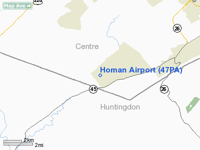
Location & QuickFacts
| FAA Information Effective: | 2008-09-25 |
| Airport Identifier: | 47PA |
| Airport Status: | Operational |
| Longitude/Latitude: | 077-58-59.0130W/40-43-00.2250N
-77.983059/40.716729 (Estimated) |
| Elevation: | 1200 ft / 365.76 m (Estimated) |
| Land: | 0 acres |
| From nearest city: | 5 nautical miles SW of State College, PA |
| Location: | Centre County, PA |
| Magnetic Variation: | 09W (1985) |
Owner & Manager
| Ownership: | Privately owned |
| Owner: | S. Elwood Homan |
| Address: | 5190 W. Whitehall Road
Penn Furnace, PA 16865 |
| Phone number: | 814-237-7510 |
| Address: |
|
Airport Operations and Facilities
| Airport Use: | Private |
| Wind indicator: | Yes |
| Segmented Circle: | No |
| Control Tower: | No |
| Landing fee charge: | No |
| Sectional chart: | Detroit |
| Region: | AEA - Eastern |
| Boundary ARTCC: | ZNY - New York |
| Tie-in FSS: | AOO - Altoona |
| FSS on Airport: | No |
| FSS Toll Free: | 1-800-WX-BRIEF |
Airport Services
| Airframe Repair: | NONE |
| Power Plant Repair: | NONE |
Runway Information
Runway NE/SW
| Dimension: | 1200 x 100 ft / 365.8 x 30.5 m |
| Surface: | TURF, |
| |
Runway NE |
Runway SW |
| Traffic Pattern: | Left | Left |
|
Radio Navigation Aids
| ID |
Type |
Name |
Ch |
Freq |
Var |
Dist |
| RV | NDB | Stroh | | 407.00 | 10W | 13.6 nm |
| INP | NDB | Indiana | | 242.00 | 08W | 49.6 nm |
| AOO | VOR | Altoona | | 108.80 | 07W | 27.7 nm |
| REC | VOR/DME | Revloc | 043X | 110.60 | 09W | 36.3 nm |
| PSB | VORTAC | Philipsburg | 102X | 115.50 | 10W | 12.0 nm |
| TON | VORTAC | Tyrone | 096X | 114.90 | 07W | 15.9 nm |
| ETG | VORTAC | Keating | 107X | 116.00 | 10W | 30.8 nm |
| JST | VORTAC | Johnstown | 077X | 113.00 | 06W | 45.7 nm |
| THS | VORTAC | St Thomas | 097X | 115.00 | 07W | 47.1 nm |
| SLT | VORTAC | Slate Run | 086X | 113.90 | 08W | 47.9 nm |
| HAR | VORTAC | Harrisburg | 072X | 112.50 | 10W | 48.6 nm |
Remarks
- HGR 200FT S OF RWY,UNLGTD AND UNMRKD.
- BUILT BEFORE 1959.
Images and information placed above are from
http://www.airport-data.com/airport/47PA/
We thank them for the data!
| General Info
|
| Country |
United States
|
| State |
PENNSYLVANIA
|
| FAA ID |
47PA
|
| Latitude |
40-43-00.225N
|
| Longitude |
077-58-59.013W
|
| Elevation |
1200 feet
|
| Near City |
STATE COLLEGE
|
We don't guarantee the information is fresh and accurate. The data may
be wrong or outdated.
For more up-to-date information please refer to other sources.
|
|


